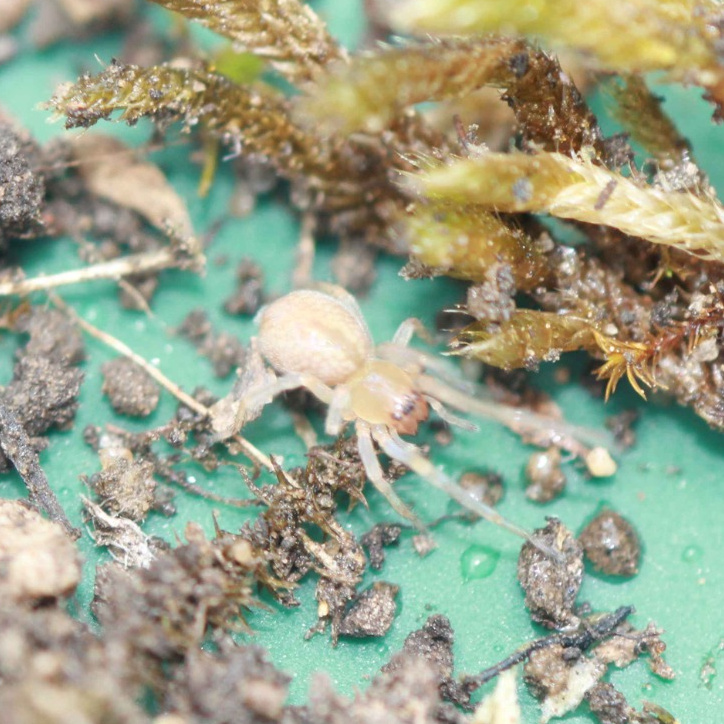
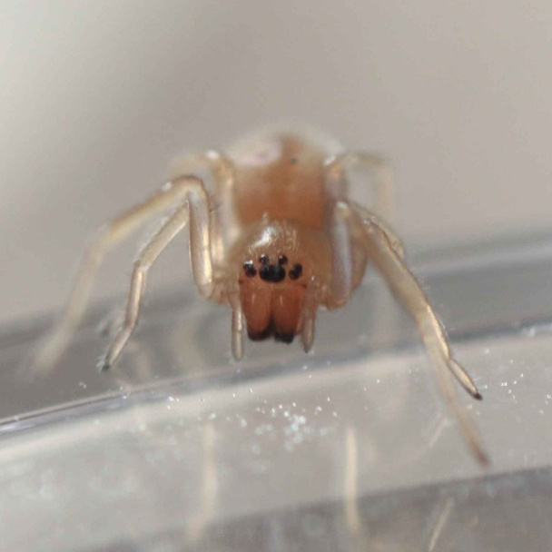
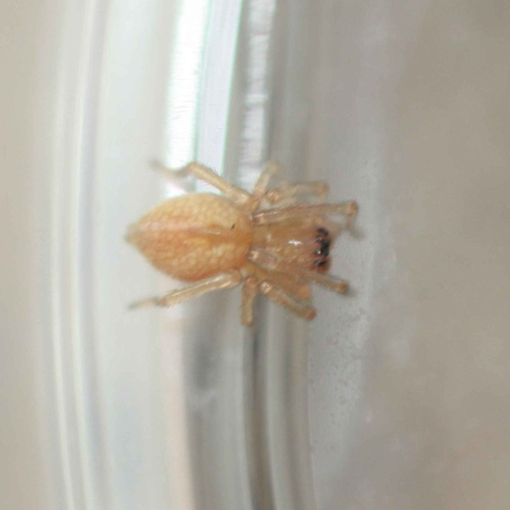
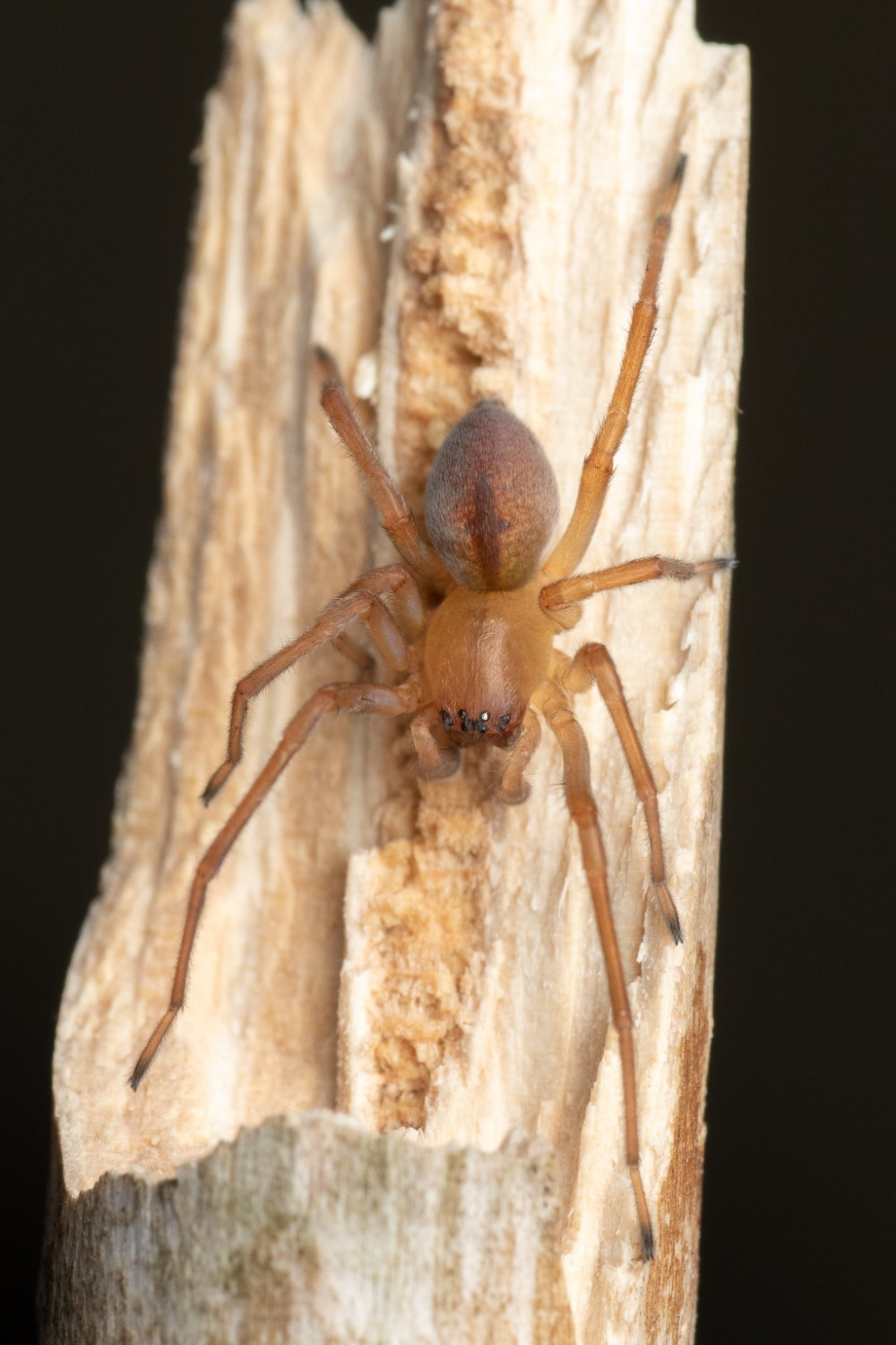
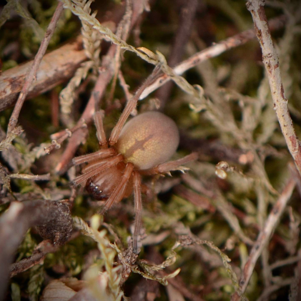
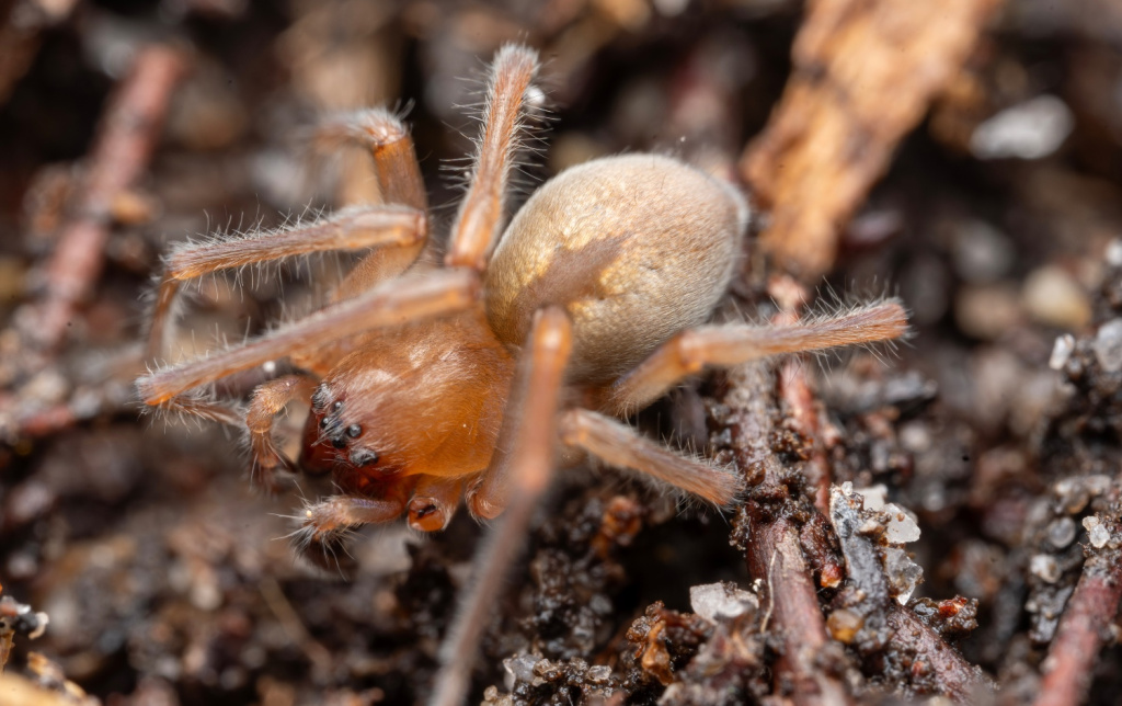
Species Details
- Species name
- Cheiracanthium virescens (Sundevall, 1833)
- Synonym
- Cheiracanthium lapidicolens
- Taxonomy
- Animalia :: Araneae :: Miturgidae
- short sward & bare ground
Distribution
The species has a scattered distribution in Britain as far north as central Scotland, but is widespread only in parts of southern and eastern England. It is widespread in western and central Europe.Habitat and ecology
The spider occurs under stones, or low vegetation such as heather, in dry, sandy or sparsely vegetated areas in open habitats such as heathland, waste-ground and dunes. It generally remains in a silk cell during the day and the egg-sac is also hidden away under a stone. Although mostly uncommon it is probably the Cheiracanthium species most often found on heathland and particularly on young heather. Adults of both sexes are found mainly in late spring/early summer and autumn.Status
Although generally uncommon, the spider may be quite frequent in the south. Recorded from 54 hectads since 1992.Threats
Potential threats include loss of dry heathland to agriculture and urban development as well as damage to sand dunes due to recreational pressures.Management and conservation
Protect heathland sites from encroachment by agriculture and urban sprawl and manage sand dune sites to reduce recreational pressures. Text based on Dawson, I.K., Harvey, P.R., Merrett, P. & Russell-Smith, A.R. (in prep.).Stats
- First recorded
- 1875
- Last recorded
- 2025
- Total records
- 691
- Total visits
- 679
Conservation status
Cheiracanthium virescens
| Source | Reporting category | Designation | Date designated | Comments |
|---|---|---|---|---|
| A Review of the scarce and threatened spiders (Araneae) of Great Britain: Species Status No. 22 (Sep 2017) | Rare and scarce species | Nationally Scarce. Includes Red Listed taxa | 01/09/2017 | |
| A Review of the scarce and threatened spiders (Araneae) of Great Britain: Species Status No. 22 (Sep 2017) | Red listing based on 2001 IUCN guidelines | Least concern | 01/09/2017 | Threats: Potential threats include loss of dry heathland to agriculture and urban development as well as damage to sand dunes due to recreational pressures. |
Photos and media


Spatial distribution - hectad map
Click on one of the date ranges in the key to highlight that particular range. Click anywhere else on the map to go back to all three date ranges.
Thresholds:
Move mouse cursor over dot for info
Rejected records are excluded from this map. Unverified records are included.
Temporal distribution - records by year
Records that span more than one year are not included in this chart.
Temporal distribution - records by week
__