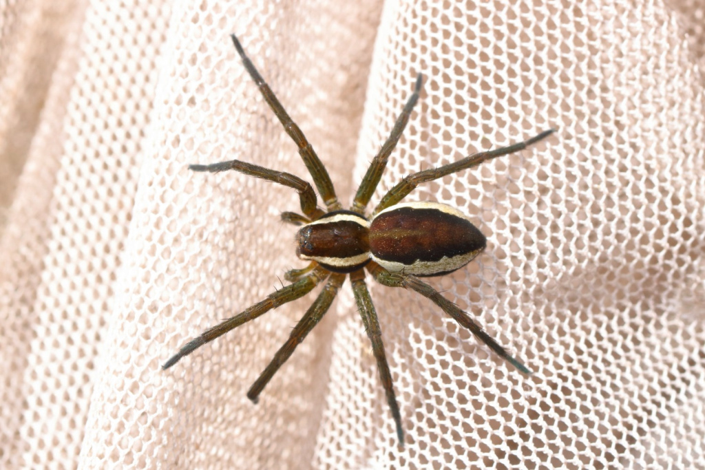
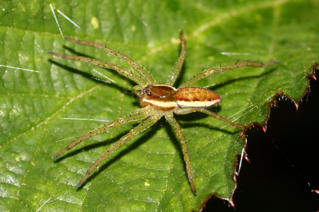
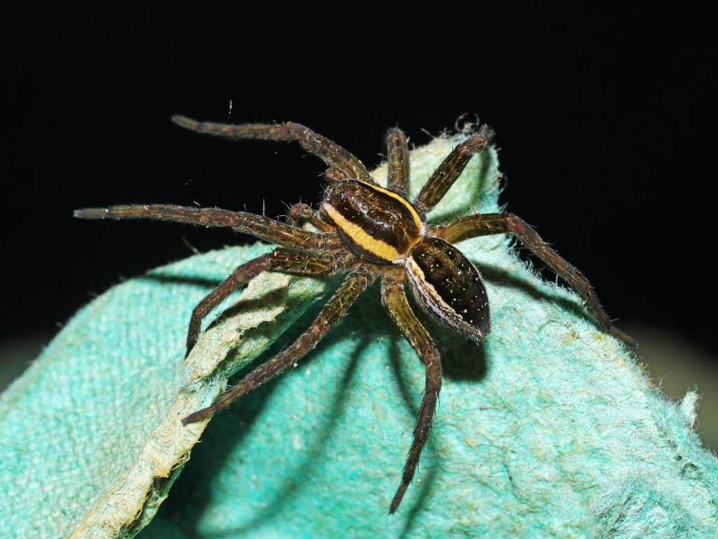
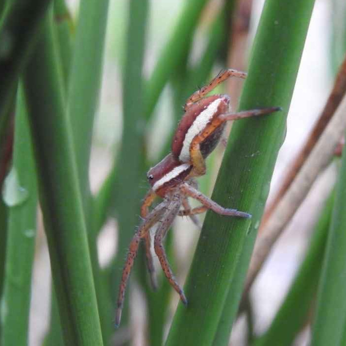
Species Details
- Species name
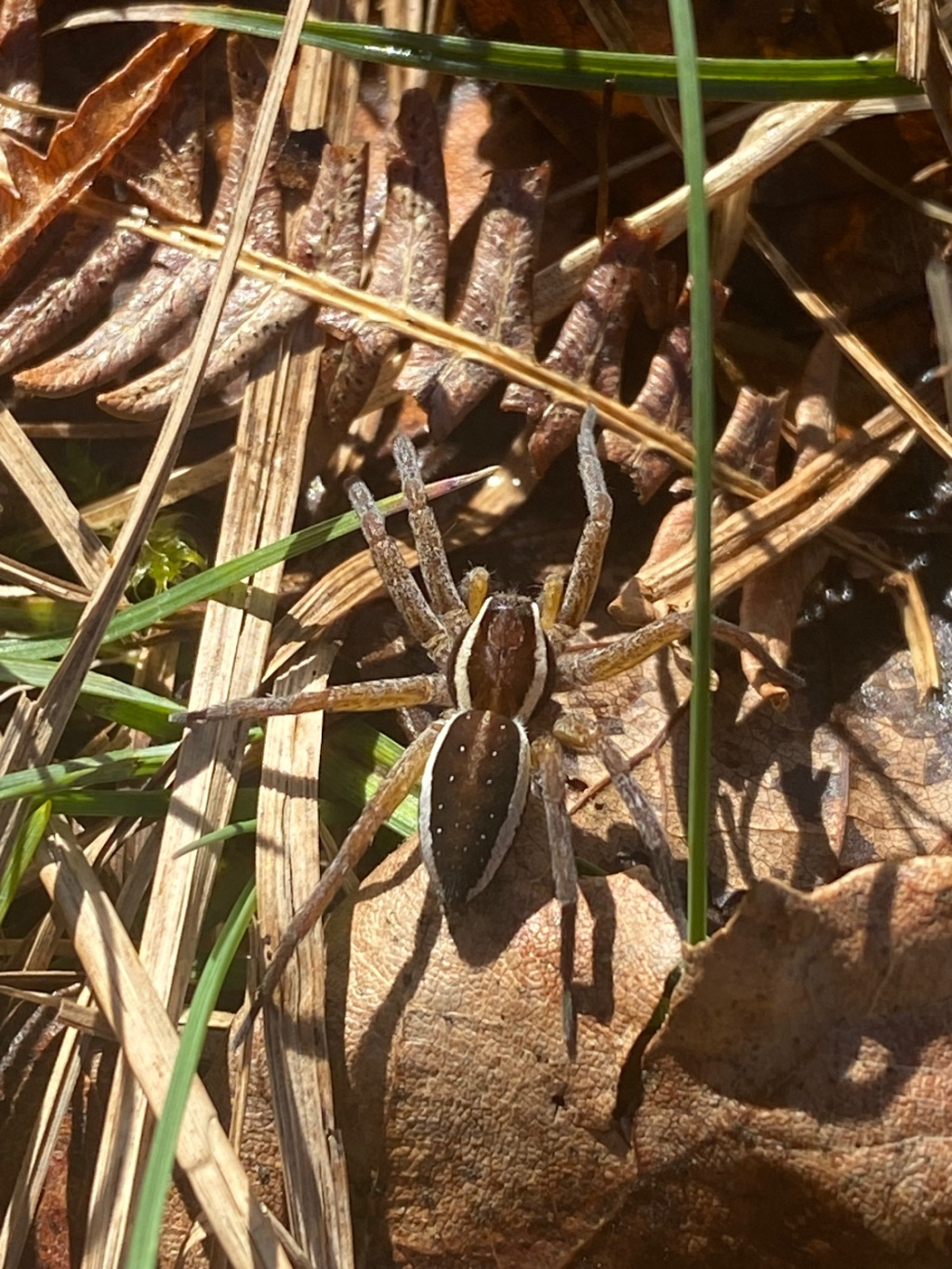
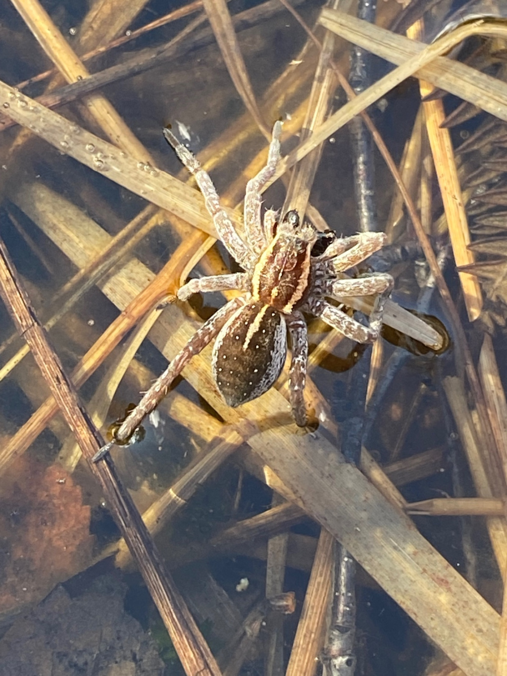
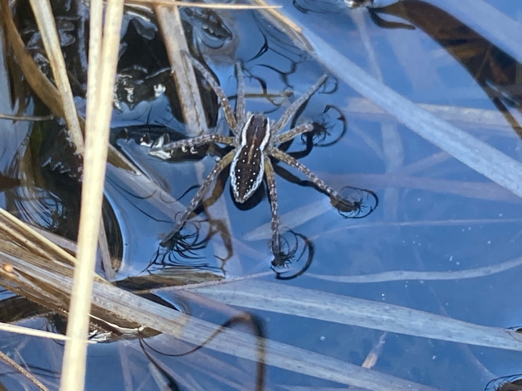
- Dolomedes fimbriatus (Clerck, 1757)
- Common name
- Raft Spider
- Taxonomy
- Animalia :: Araneae :: Pisauridae
- acid & sedge peats
Distribution
The species is widespread on southern heathlands, but very scattered elsewhere in Britain, north to Scotland. It is widespread in north-western and central Europe.Habitat and ecology
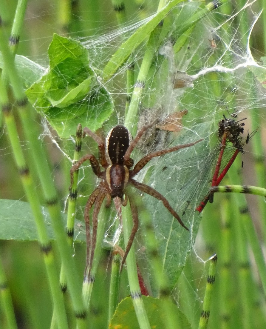
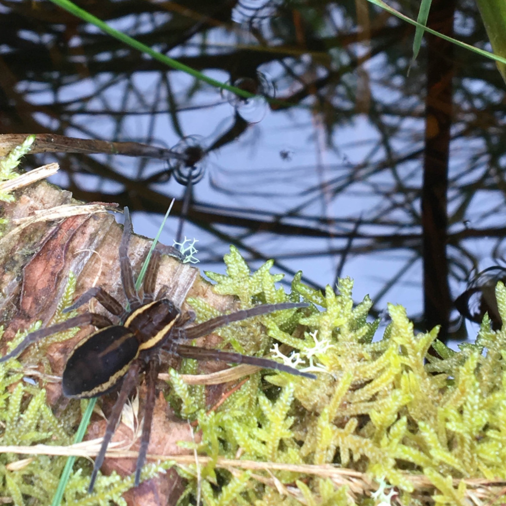
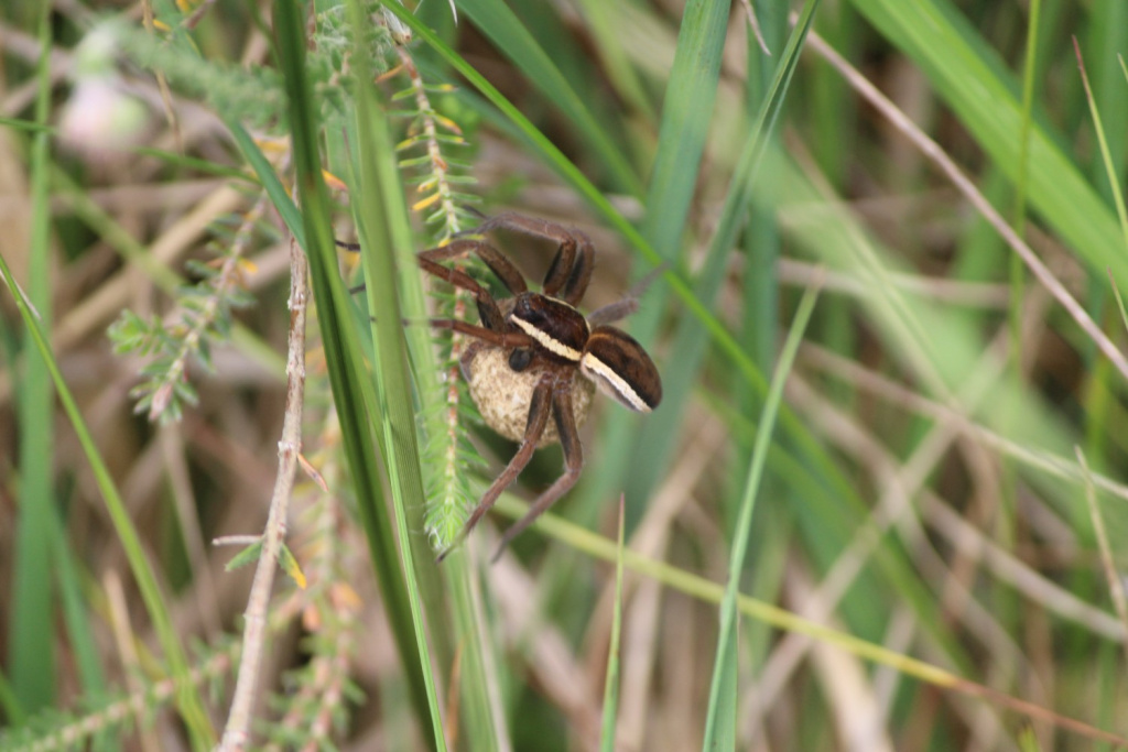
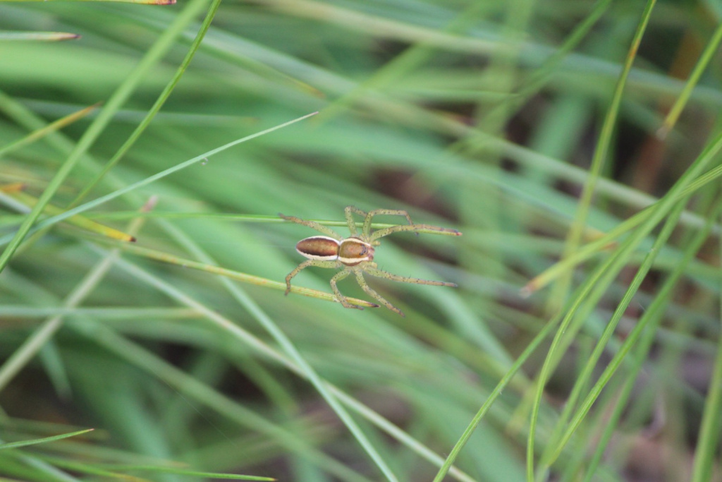
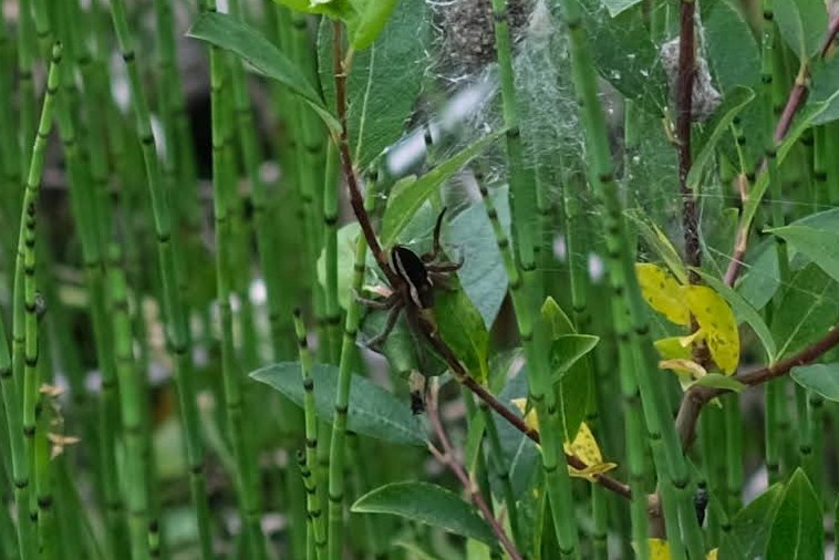
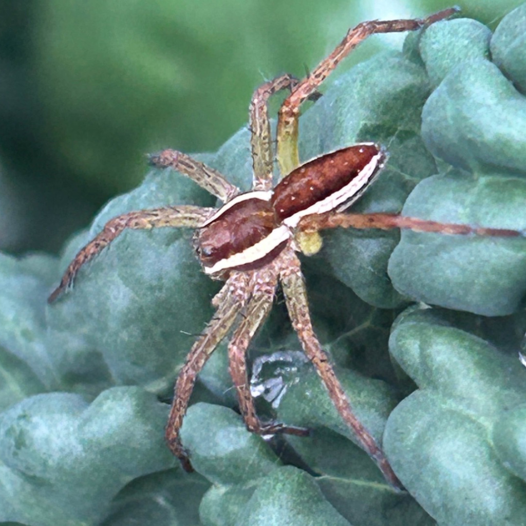
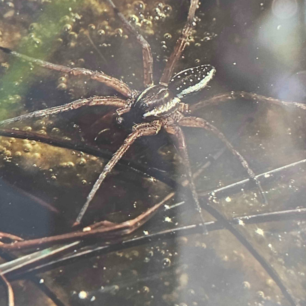
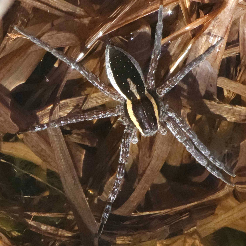
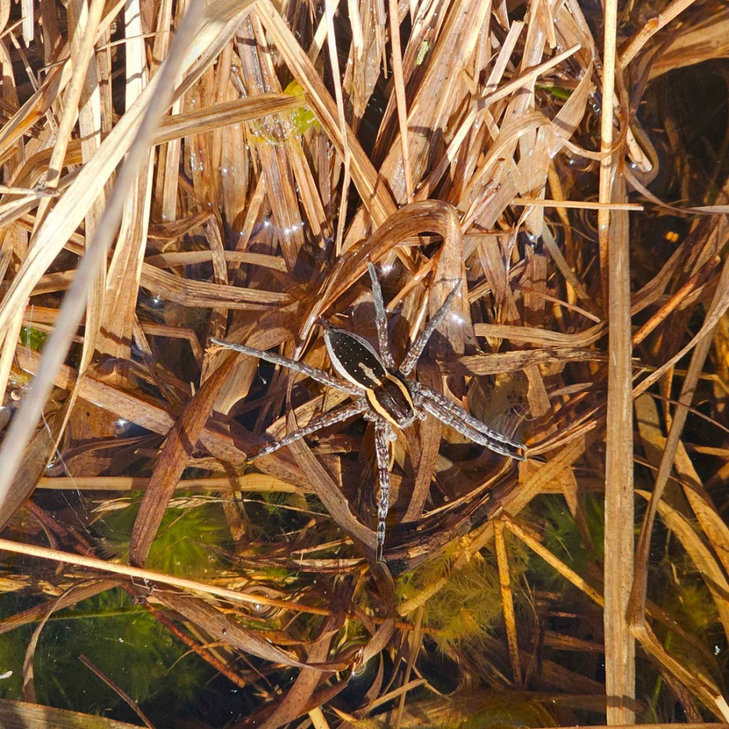
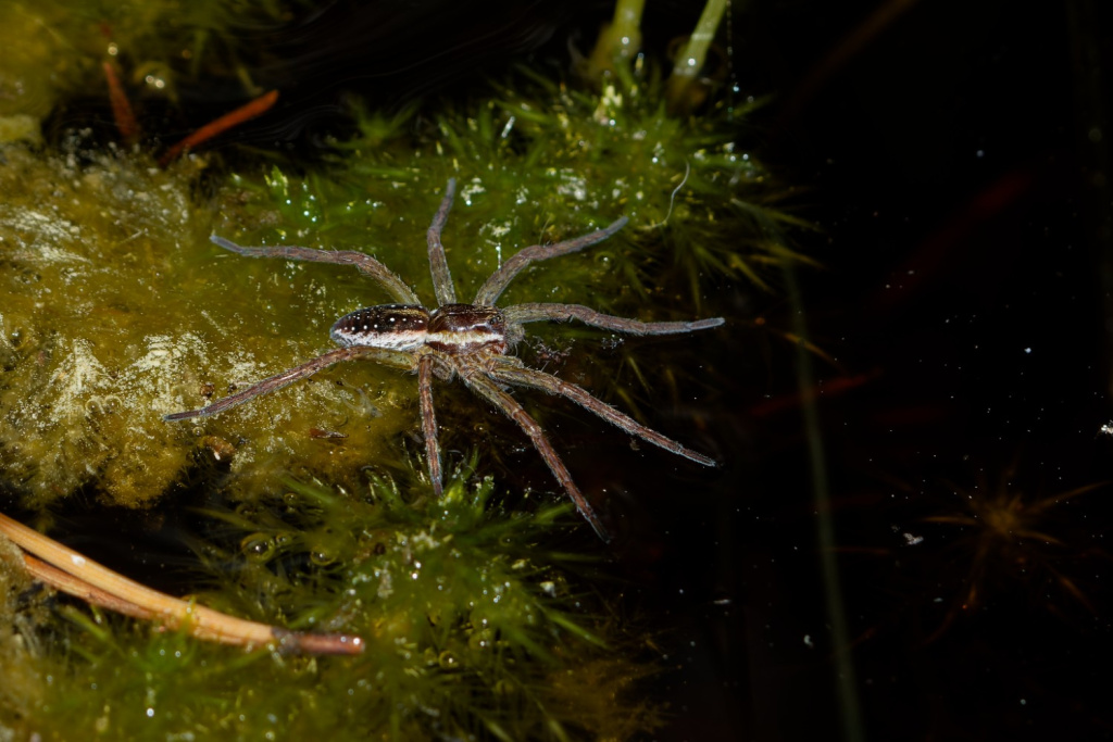
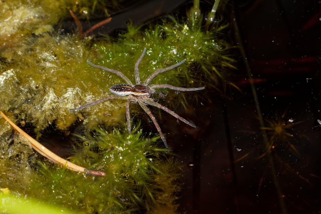
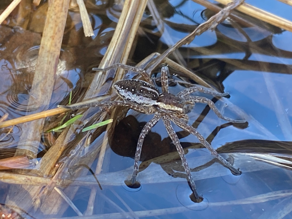
Wet heathland, wet woodland, bogs. The main habitat of D. fimbriatus is Sphagnum bogs and pools, although juveniles may be found in much drier habitats away from bogs. The spider also inhabits water margins of ditches, ponds and slow flowing streams. Adults assume a hunting position on emergent water plants where the front appendages are held on the water surface. In this position the spider preys on invertebrates trapped on the water surface. When threatened the spider retreats underwater. Spiderlings hunt in high vegetation. Adults are found in spring and early summer. Females carry their spherical egg-sacs in their chelicerae and enclose them within a nursery web prior to spiderling emergence.Status
Very local, but the spider may be not infrequent on some wet southern heathlands. No apparent decline.Threats
The main threats are destruction of heathland for housing development and agriculture and the drainage of wetlands.Management and conservation
Protect heathland sites from destruction and ensure the water-table of wetlands is maintained. Text based on Dawson, I.K., Harvey, P.R., Merrett, P. & Russell-Smith, A.R. (in prep.).Stats
- First recorded
- 1858
- Last recorded
- 2025
- Total records
- 897
- Total visits
- 891
Conservation status
Dolomedes fimbriatus
| Source | Reporting category | Designation | Date designated | Comments |
|---|---|---|---|---|
| A Review of the scarce and threatened spiders (Araneae) of Great Britain: Species Status No. 22 (Sep 2017) | Rare and scarce species | Nationally Scarce. Includes Red Listed taxa | 01/09/2017 | |
| A Review of the scarce and threatened spiders (Araneae) of Great Britain: Species Status No. 22 (Sep 2017) | Red listing based on 2001 IUCN guidelines | Least concern | 01/09/2017 | Threats: The main threats are destruction of heathland for housing development and agriculture and the drainage of wetlands. |
Photos and media

Spatial distribution - hectad map
Click on one of the date ranges in the key to highlight that particular range. Click anywhere else on the map to go back to all three date ranges.
Thresholds:
Move mouse cursor over dot for info
Rejected records are excluded from this map. Unverified records are included.
Temporal distribution - records by year
Records that span more than one year are not included in this chart.
Temporal distribution - records by week
__