Species Details
- Species name
- Agalenatea redii (Scopoli, 1763)
- Synonyms
- Agelenatea redii (Scopoli, 1763), Agelenatea solers (Walckenaer, 1825), Agelenatea sollers (Westring, 1861), Aranea redi Scopoli, 1763, Araneus redii (Scopoli, 1763)
- Taxonomy
- Animalia :: Araneae :: Araneidae
Distribution
The spider is widespread in England and Wales as far north as West Lancashire and North-east Yorkshire, but is absent further north apart from one record for south-west Scotland (McCleary 1998). The species is widespread in western Europe as far north as Scandinavia, but only one old record is mapped at the southern tip of Norway (Aakra & Hauge 2000) and the species is apparently absent from Finland.Habitat and ecology
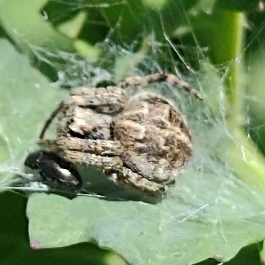
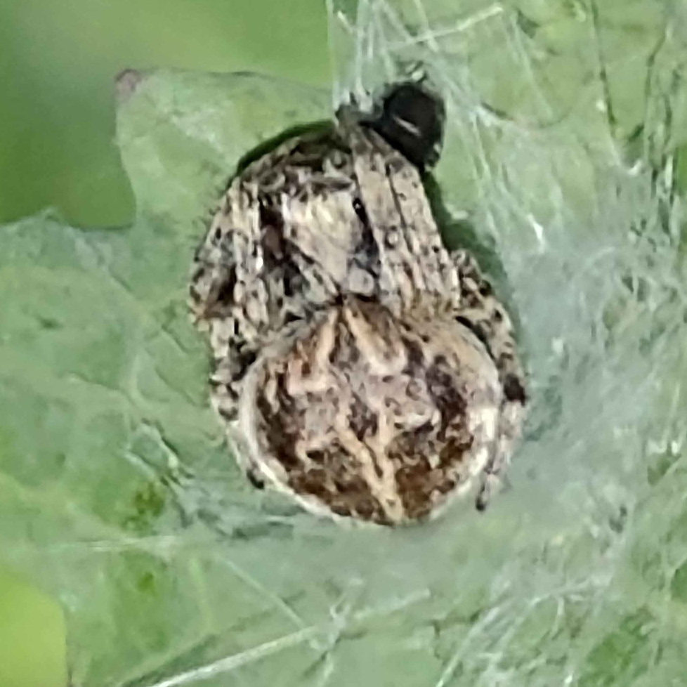
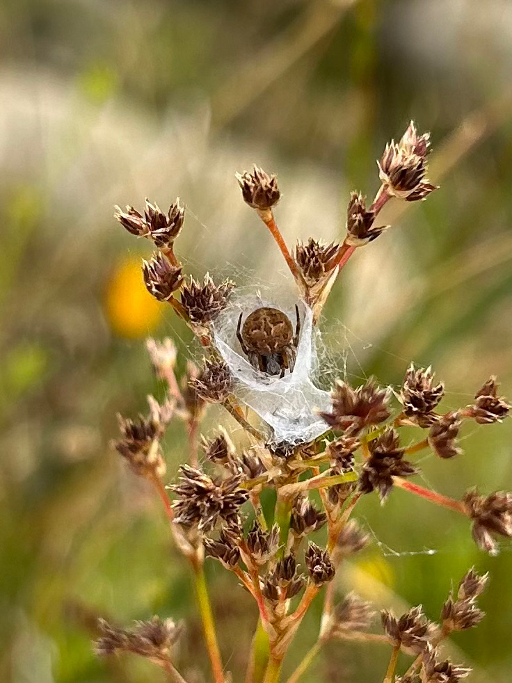
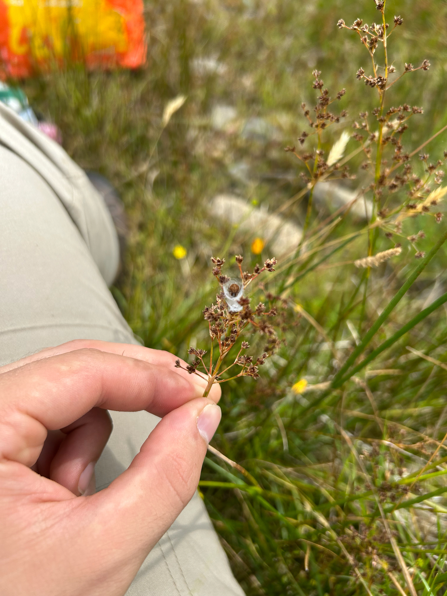
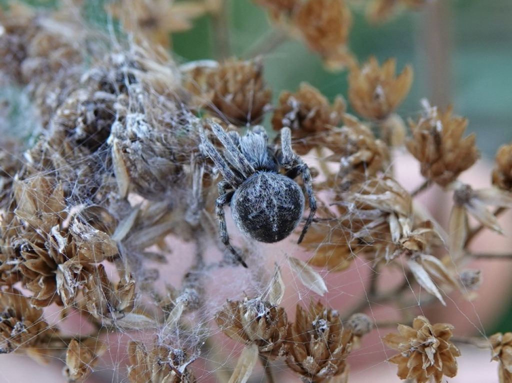
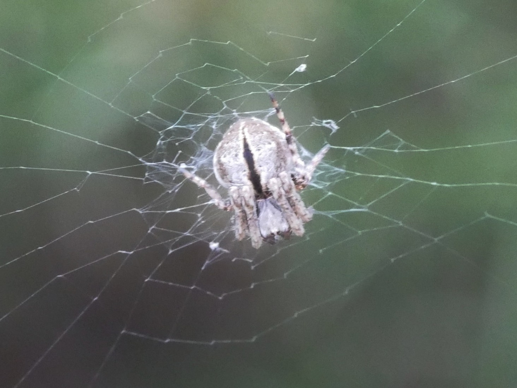
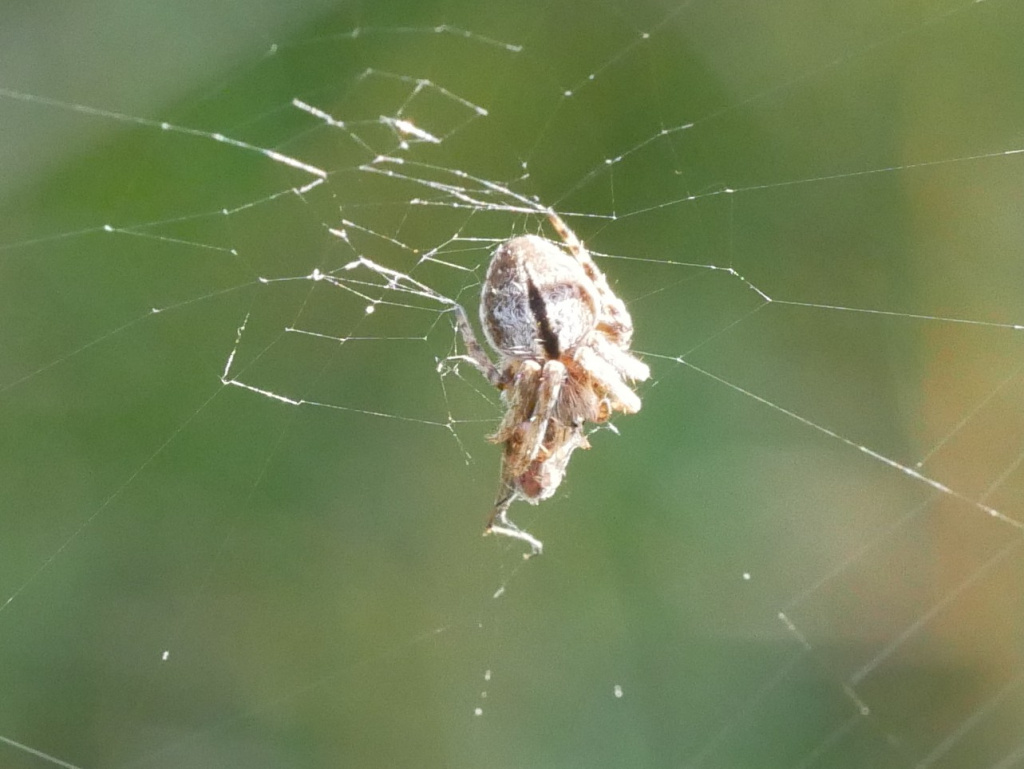
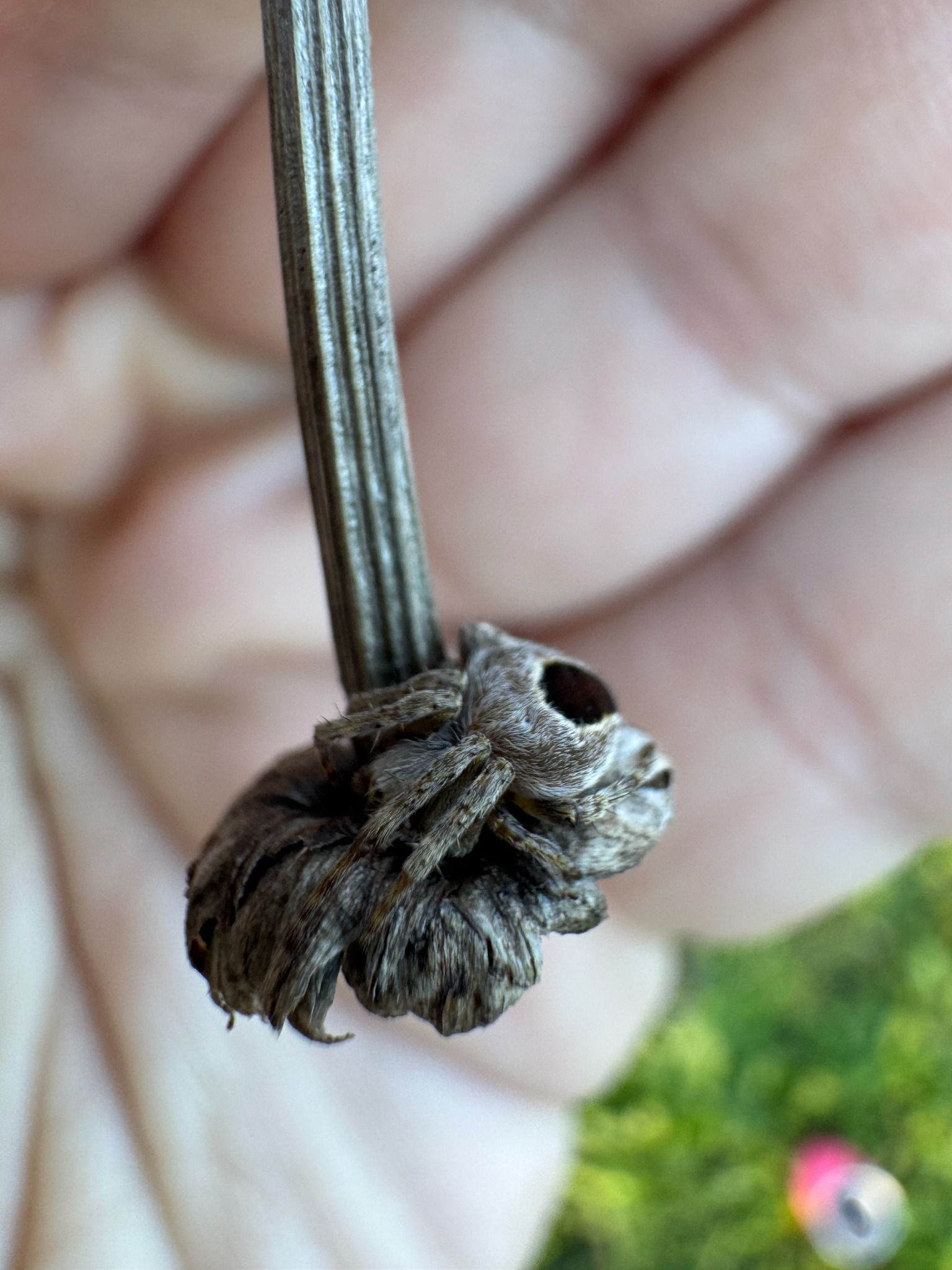
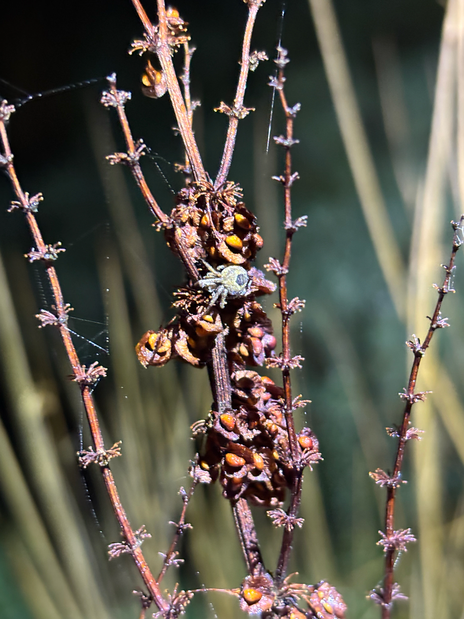
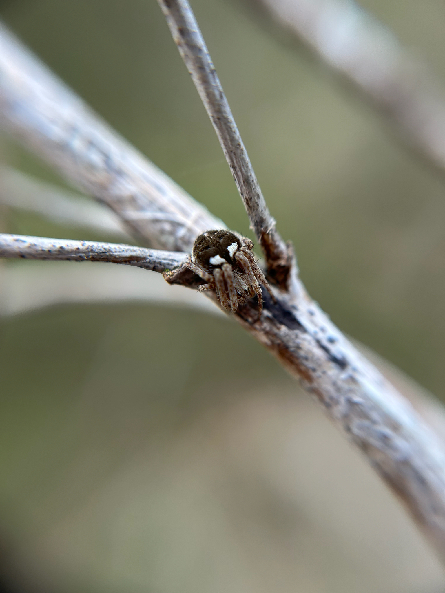
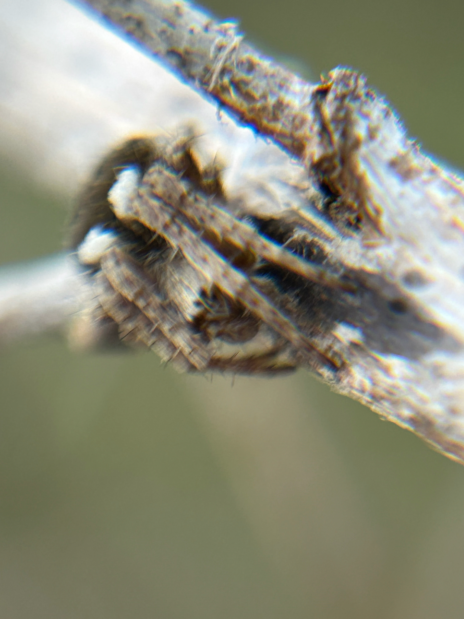
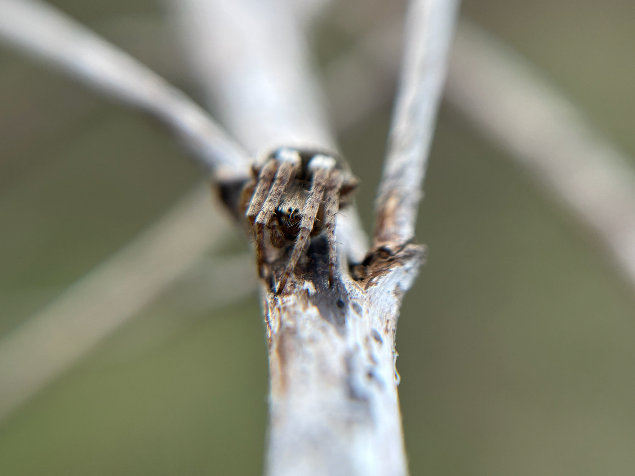
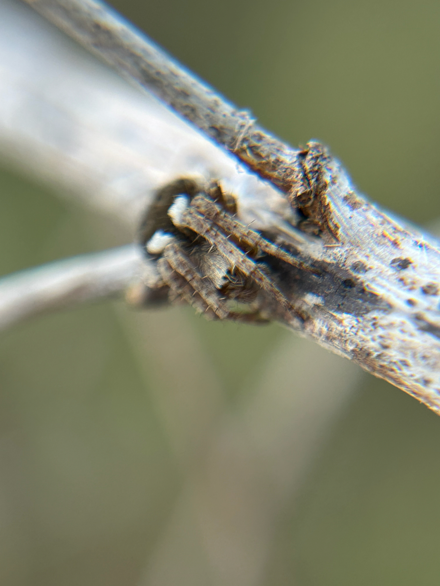
The species is found in heather and gorse, usually below one metre above the ground, and rough grassland where the spider often makes its web between dead herbaceous stems with a retreat in a dead flower-head. In the north of England the spider is most common on sand dunes, often on creeping willow (J. Newton, pers. comm.). The hub of the medium sized orb web is often covered with fine silk. The spider's abdominal markings show considerable variability (see Jones (1983)). After over-wintering as a sub-adult, adults can be found from late spring to mid-summer.Status
Local, but the species may be numerous in suitable habitat in the south. It is rare and mostly coastal in north-west England. Original author of profile: W.J. Partridge Text based on Harvey, P.R., Nellist, D.R. & Telfer, M.G. (eds) 2002. Provisional atlas of British spiders (Arachnida, Araneae), Volumes 1 & 2. Huntingdon: Biological Records Centre.Stats
- First recorded
- 1898
- Last recorded
- 2025
- Total records
- 3,177
- Total visits
- 3,112
Conservation status
Agalenatea redii
| Source | Reporting category | Designation | Date designated | Comments |
|---|---|---|---|---|
| A Review of the scarce and threatened spiders (Araneae) of Great Britain: Species Status No. 22 (Sep 2017) | Red listing based on 2001 IUCN guidelines | Least concern | 01/09/2017 | Threats: None identified. |
Photos and media


Spatial distribution - hectad map
Click on one of the date ranges in the key to highlight that particular range. Click anywhere else on the map to go back to all three date ranges.
Thresholds:
Move mouse cursor over dot for info
Rejected records are excluded from this map. Unverified records are included.
Temporal distribution - records by year
Records that span more than one year are not included in this chart.
Temporal distribution - records by week
__