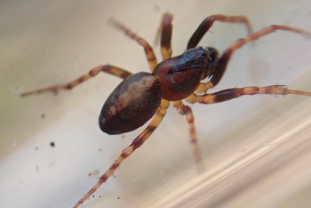
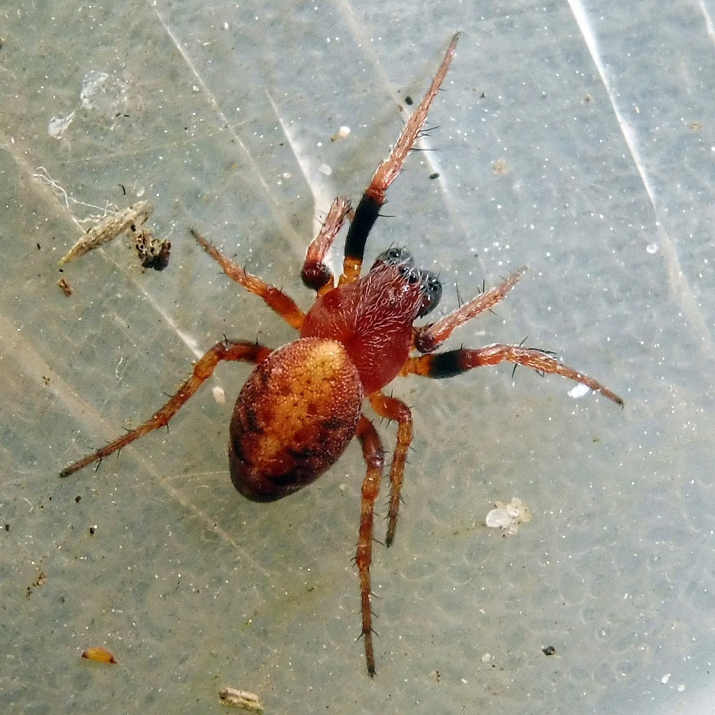
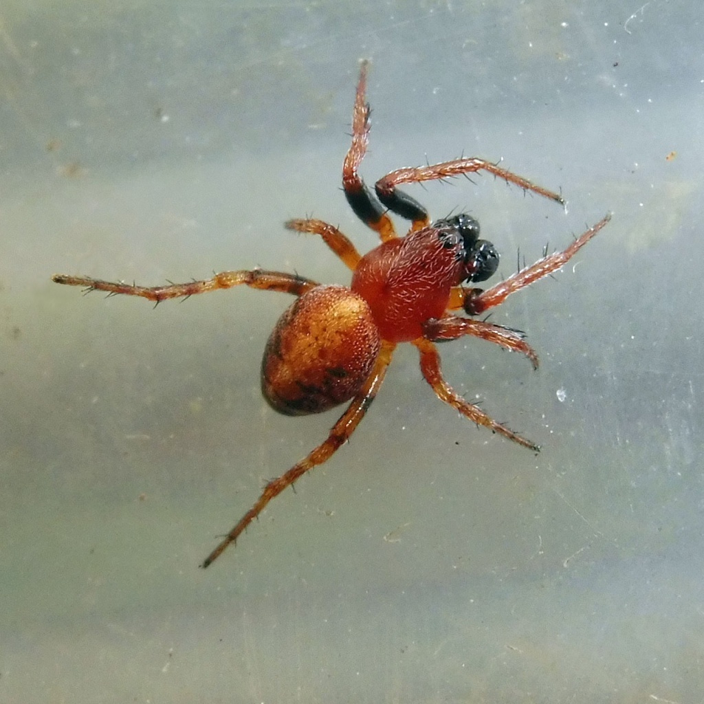
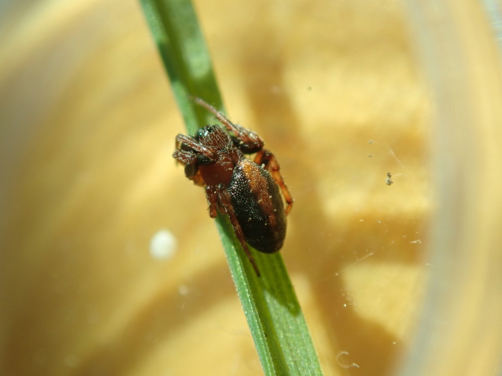
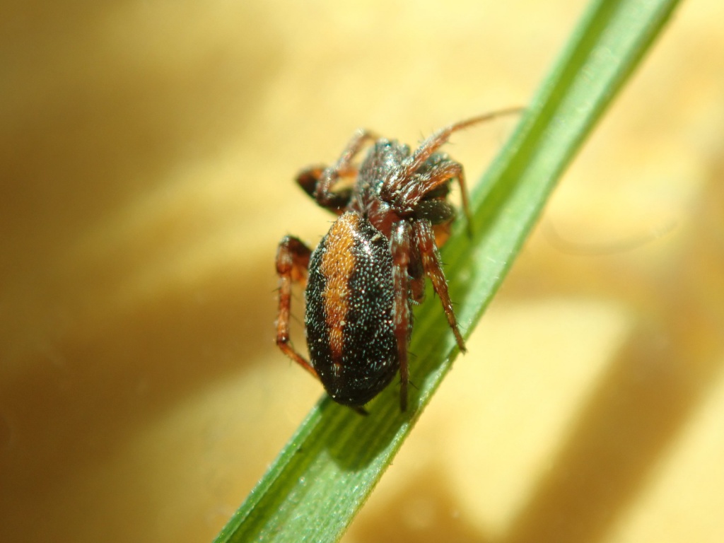
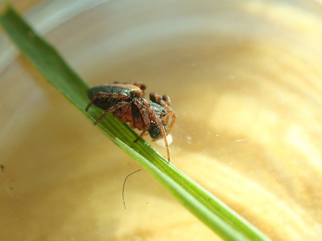
Species Details
- Species name
- Cercidia prominens (Westring, 1851)
- Synonym
- Cercidia bella (Meade, 1861)
- Taxonomy
- Animalia :: Araneae :: Araneidae
- tall sward & scrub
Distribution
The species is widespread in the southern half of Britain with few records in the south-west, Wales or northwards from Yorkshire to central Scotland. It is widespread in western and central Europe, but has not been recorded from Ireland.Habitat and ecology
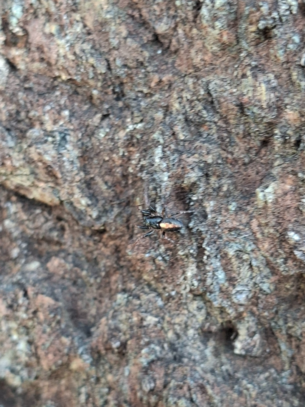
The species occurs mainly on heathland and calcareous grassland, perhaps preferring habitats with sparse vegetation. The orb webs of this spider lack the silken retreat and signal line typical of the family Araneidae. They are constructed in vegetation near to ground level and any disturbance may cause the spider to drop into the litter layer. Males are adult from spring to autumn. Adult females may be present all year.Status
The species shows an apparent decline, so a Watching Brief should be kept on this species. Generally uncommon.Threats
Loss of heathland and calcareous grassland to agriculture and urban development are likely to the most important threats to this species.Management and conservation
Prevent further loss of heathland and calcareous grassland in areas where it occurs. Text based on Dawson, I.K., Harvey, P.R., Merrett, P. & Russell-Smith, A.R. (in prep.).Stats
- First recorded
- 1897
- Last recorded
- 2025
- Total records
- 751
- Total visits
- 729
Conservation status
Cercidia prominens
| Source | Reporting category | Designation | Date designated | Comments |
|---|---|---|---|---|
| A Review of the scarce and threatened spiders (Araneae) of Great Britain: Species Status No. 22 (Sep 2017) | Rare and scarce species | Nationally Scarce. Includes Red Listed taxa | 01/09/2017 | |
| A Review of the scarce and threatened spiders (Araneae) of Great Britain: Species Status No. 22 (Sep 2017) | Red listing based on 2001 IUCN guidelines | Least concern | 01/09/2017 | Threats: Loss of heathland and calcareous grassland to agriculture and urban development are likely to the most important threats to this species. |
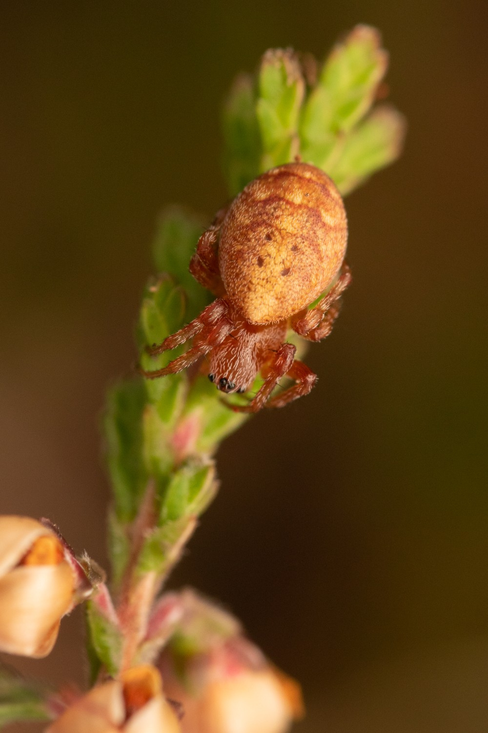
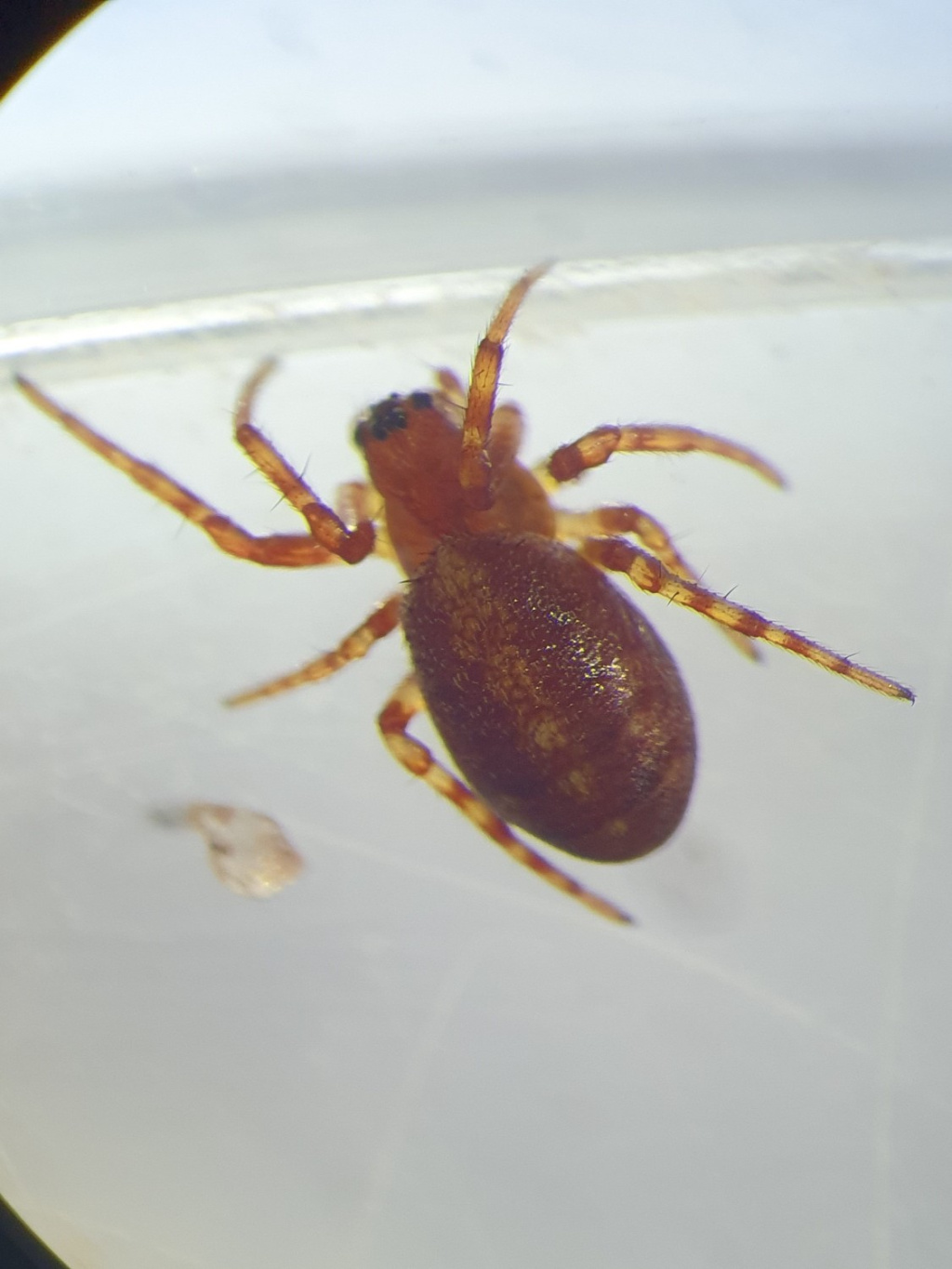
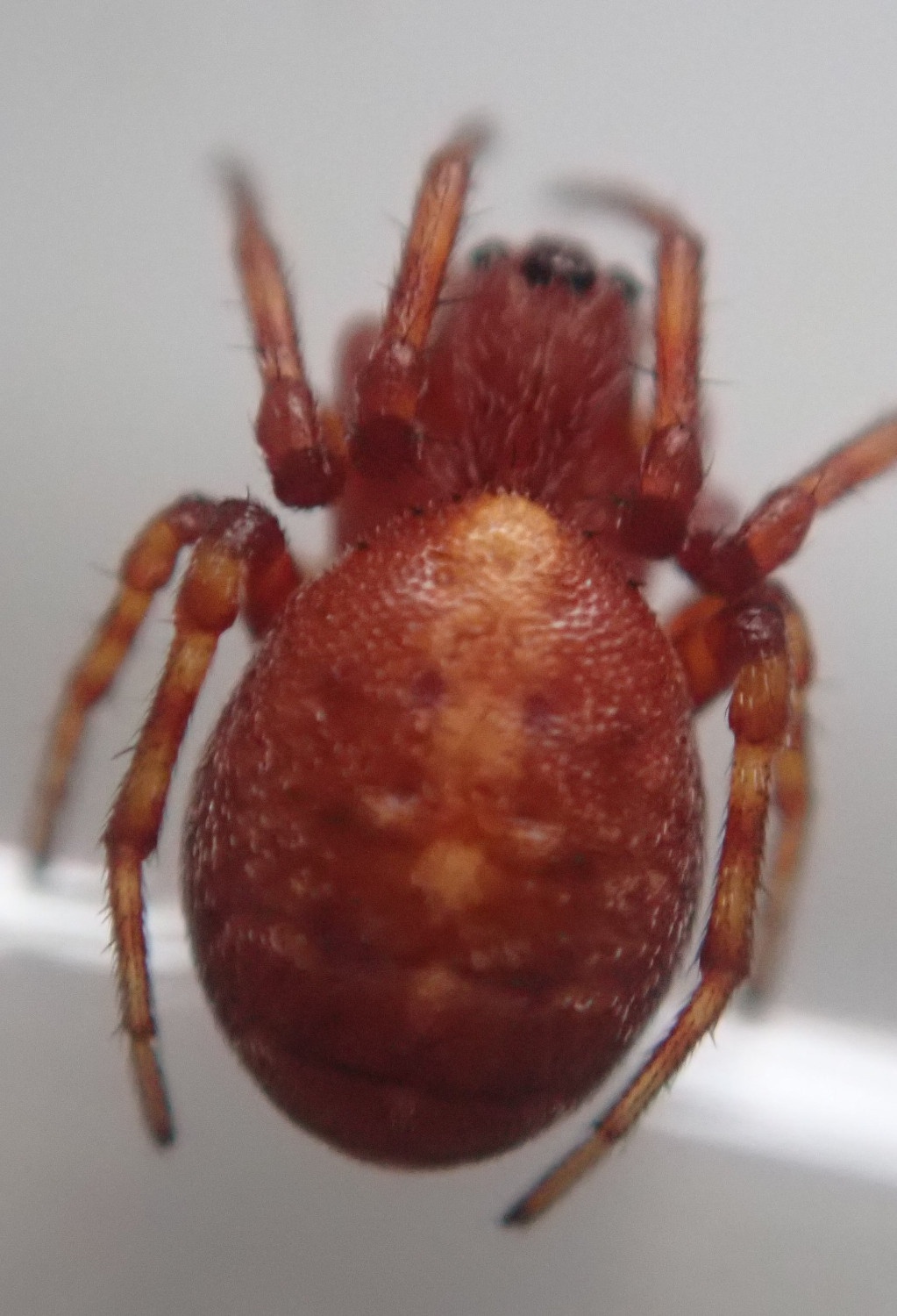
Photos and media

Spatial distribution - hectad map
Click on one of the date ranges in the key to highlight that particular range. Click anywhere else on the map to go back to all three date ranges.
Thresholds:
Move mouse cursor over dot for info
Rejected records are excluded from this map. Unverified records are included.
Temporal distribution - records by year
Records that span more than one year are not included in this chart.
Temporal distribution - records by week
__