Species Details
- Species name
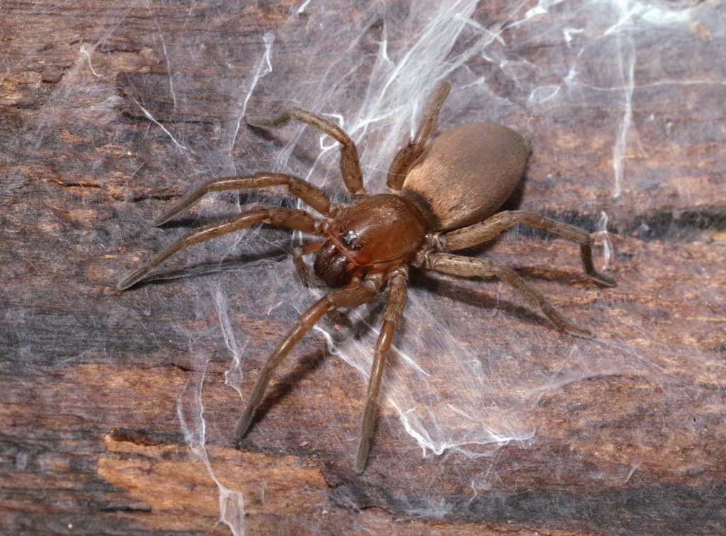
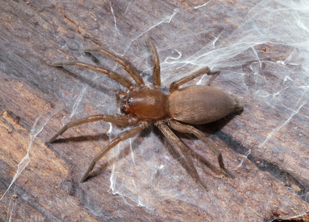
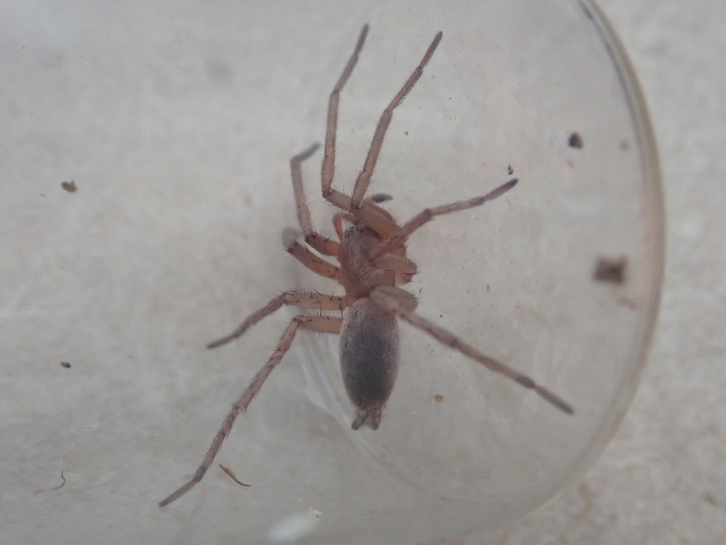
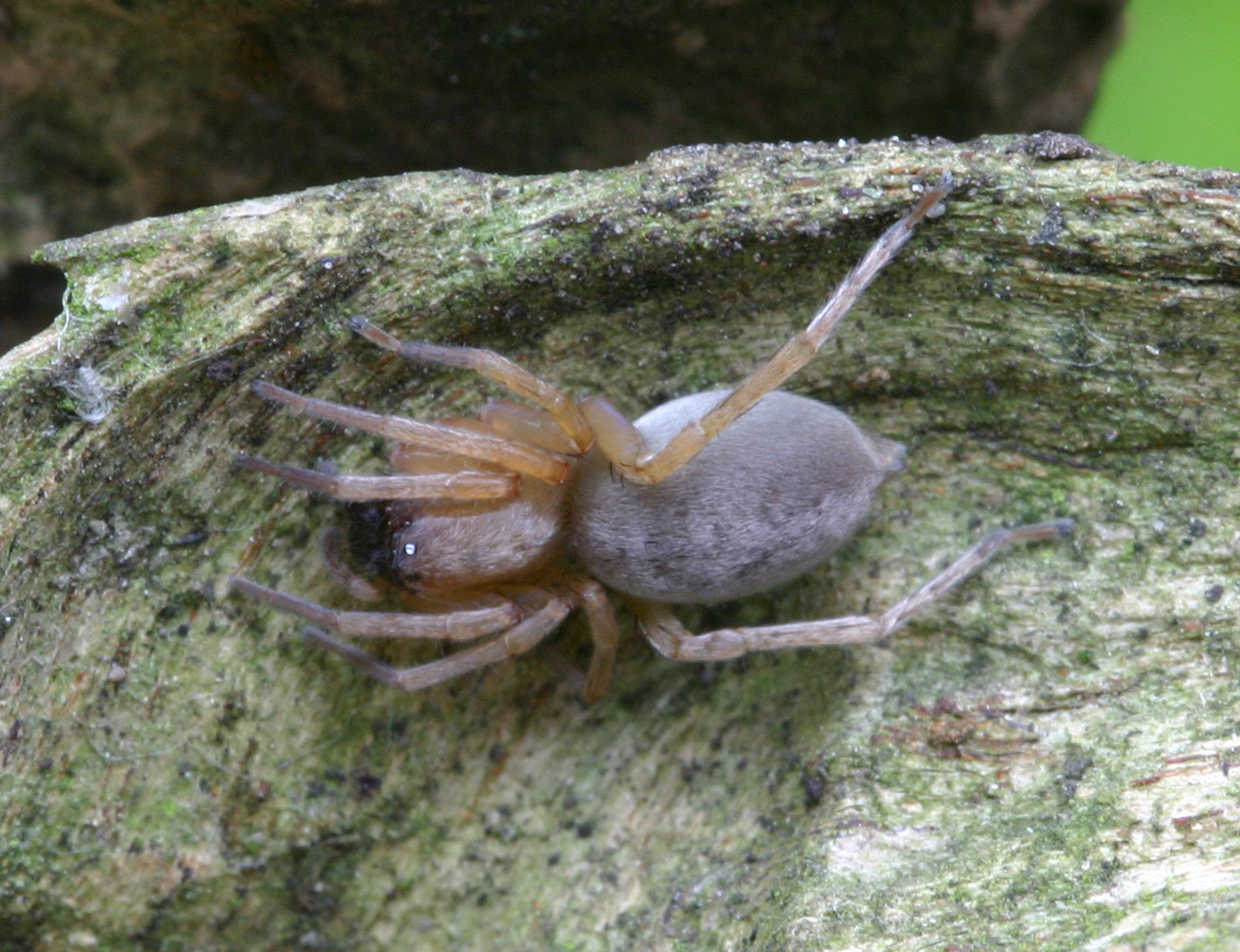
- Drassodes cupreus (Blackwall, 1834)
- Synonyms
- Drassodes lapidosus subsp. cupreus (Blackwall, 1834), Drassodes lapidosus subsp. macer (Thorell), Drassodes lapidosus var. cupreus (Blackwall, 1834)
- Taxonomy
- Animalia :: Araneae :: Gnaphosidae
- tall sward & scrub
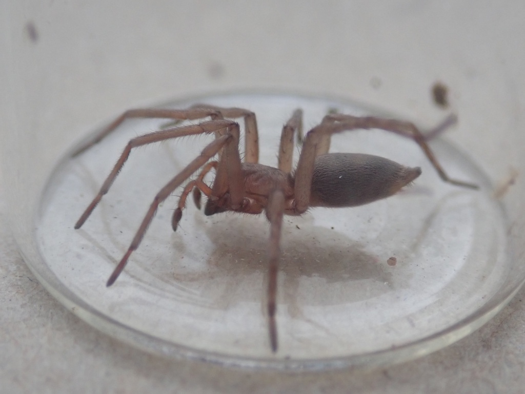
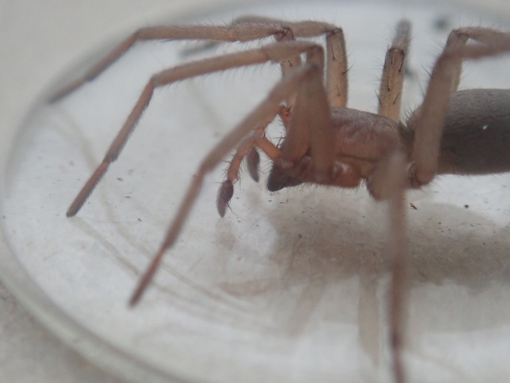
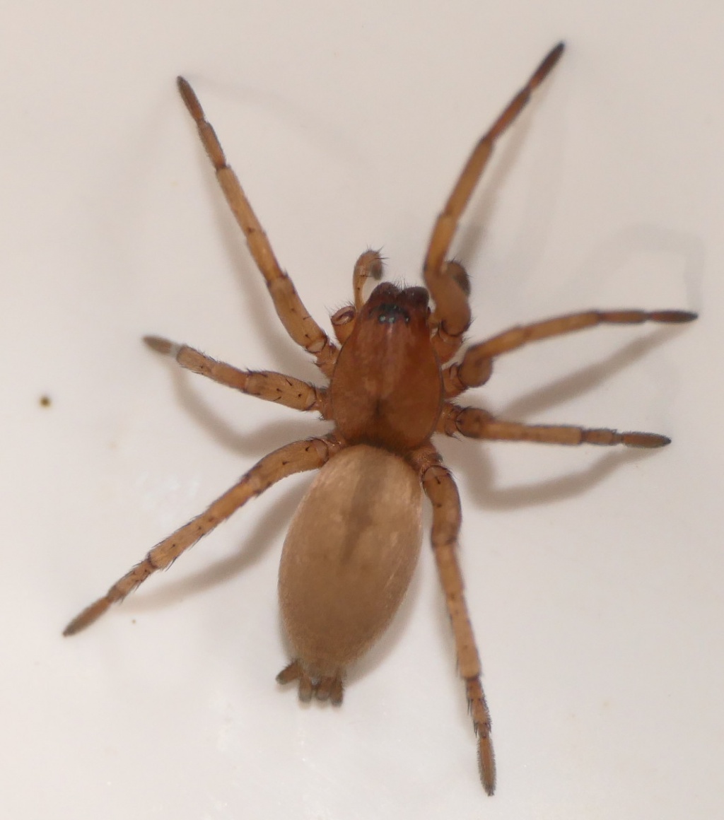
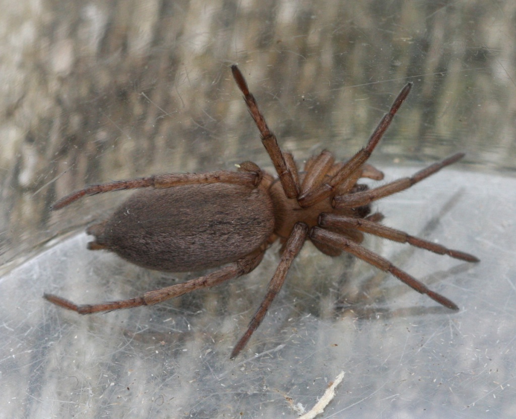
Status: Fairly common. For years, in Britain, D. cupreus was regarded as a subspecies of D. lapidosus. This was possibly due to the fact that both have very similar genitalia and, to a large extent in England, Wales and Scotland, their ranges overlap. In the field, the typically copper coloured coat of D. cupreus is often a guide to its identity. Distribution: The species is widespread throughout much of Britain. It is widespread in north-western and central Europe. Habitat and ecology: D. cupreus is frequently found under scattered stones, discarded rubbish and grassy tussocks, particularly on heaths and old grasslands, and may be beaten out of gorse and heather. Certainly in the south of England D. cupreus is not uncommon on heaths where D. lapidosus appears to be absent. Curiously, both species may be equally common on calcareous grassland. It is not unusual to find a mature male together with a penultimate instar female in the same silken cell, which can surprise and even cause a collector to miss both. Adults of both sexes are found mainly early to mid-summer, females through the summer, sometimes persisting later. Author of profile: J.A. Murphy
Text based on Harvey, P.R., Nellist, D.R. & Telfer, M.G. (eds) 2002. Provisional atlas of British spiders (Arachnida, Araneae), Volumes 1 & 2. Huntingdon: Biological Records Centre.
Stats
- First recorded
- 1858
- Last recorded
- 2025
- Total records
- 3,972
- Total visits
- 3,926
Conservation status
Drassodes cupreus
| Source | Reporting category | Designation | Date designated | Comments |
|---|---|---|---|---|
| A Review of the scarce and threatened spiders (Araneae) of Great Britain: Species Status No. 22 (Sep 2017) | Red listing based on 2001 IUCN guidelines | Least concern | 01/09/2017 |
Photos and media
Spatial distribution - hectad map
Click on one of the date ranges in the key to highlight that particular range. Click anywhere else on the map to go back to all three date ranges.
Thresholds:
Move mouse cursor over dot for info
Rejected records are excluded from this map. Unverified records are included.
Temporal distribution - records by year
Records that span more than one year are not included in this chart.
Temporal distribution - records by week
__