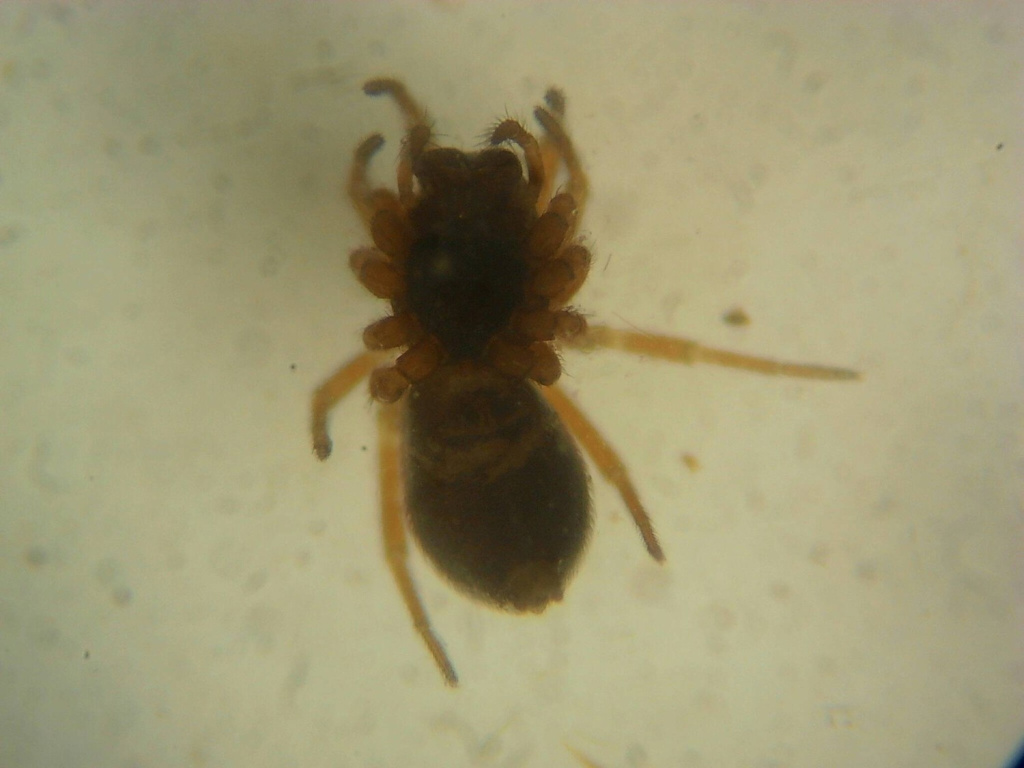
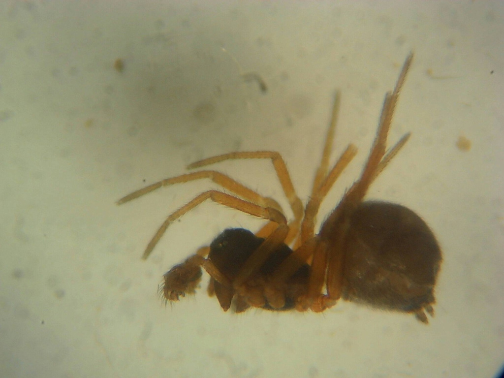
Species Details
- Species name
- Erigonella ignobilis (O.P.-Cambridge, 1871)
- Taxonomy
- Animalia :: Araneae :: Linyphiidae
- acid & sedge peats
Distribution
Erigonella ignobilis is widespread but very scattered in England and Wales, with a single record from Scotland. A dearth of recent records from East Anglian wetlands may be due to a lack of recent recording as it was found in two sites in Norfolk in 2006 and 2007, but it was not recorded during intensive survey of Broadland fens 2007 to 2009 (Lott et al., 2010). It appears to be absent from much of England including the south-east. A Palaearctic species widespread in north-western and central Europe, including Ireland.Habitat and ecology
Wetlands. E. ignobilis usually occurs in damp, marshy areas, damp litter and low vegetation at the edge of open water. It is probably adult at all seasons, possibly with a peak in spring.Status
Recorded from 24 hectads since 1992, but showing an increasingly fragmented and restricted distribution with an apparent decline of 49% of Area of Occupancy (from 37 to 19 hectads) from before that date.Threats
Drainage of wetland habitats is a potential threat to this species.Management and conservation
Maintain a high water table in wetlands. Text based on Dawson, I.K., Harvey, P.R., Merrett, P. & Russell-Smith, A.R. (in prep.).Stats
- First recorded
- 1900
- Last recorded
- 2025
- Total records
- 733
- Total visits
- 662
Conservation status
Erigonella ignobilis
| Source | Reporting category | Designation | Date designated | Comments |
|---|---|---|---|---|
| A Review of the scarce and threatened spiders (Araneae) of Great Britain: Species Status No. 22 (Sep 2017) | Rare and scarce species | Nationally Scarce. Includes Red Listed taxa | 01/09/2017 | |
| A Review of the scarce and threatened spiders (Araneae) of Great Britain: Species Status No. 22 (Sep 2017) | Red listing based on 2001 IUCN guidelines | Least concern | 01/09/2017 | Observed decline at least in part attributable to lack of recent surveys of Welsh peatland sites. Threats: Drainage of wetland habitats is a potential threat to this species. |
Photos and media
Spatial distribution - hectad map
Click on one of the date ranges in the key to highlight that particular range. Click anywhere else on the map to go back to all three date ranges.
Thresholds:
Move mouse cursor over dot for info
Rejected records are excluded from this map. Unverified records are included.
Temporal distribution - records by year
Records that span more than one year are not included in this chart.
Temporal distribution - records by week
__