Species Details
- Species name
- Halorates reprobus (O.P.-Cambridge, 1879)
- Synonym
- Halorates reproba
- Taxonomy
- Animalia :: Araneae :: Linyphiidae
Distribution
Halorates reprobus is widespread throughout coastal Britain and Ireland, but is absent inland. Globally this species is restricted to the north-western coastline of Europe where the centre of its distribution seems to be the British Isles (Decleer & Bosmans 1989).Habitat and ecology
This spider lives exclusively in coastal habitats such as saltmarshes and rocky/muddy shores. In these habitats it conceals itself beneath rocks and tidal litter. Some specimens may be found below the high tide mark. Halorates reprobus has also been found in the nest material of cormorants (Bristowe 1958). Adults are present throughout the year (Locket & Millidge 1953).Status
Local in its coastal habitats. Relatively few records exist for this species from continental Europe suggesting that the British populations are of international importance.Threats
The loss of saltmarsh habitat due to sea level rise associated with global warming is likely to be the principle threat.Management and conservation
Ensure survival of saltmarshes through managed realignment. Text based on Dawson, I.K., Harvey, P.R., Merrett, P. & Russell-Smith, A.R. (in prep.).Stats
- First recorded
- 1890
- Last recorded
- 2025
- Total records
- 421
- Total visits
- 411
Conservation status
Halorates reprobus
| Source | Reporting category | Designation | Date designated | Comments |
|---|---|---|---|---|
| A Review of the scarce and threatened spiders (Araneae) of Great Britain: Species Status No. 22 (Sep 2017) | Rare and scarce species | Nationally Scarce. Includes Red Listed taxa | 01/09/2017 | |
| A Review of the scarce and threatened spiders (Araneae) of Great Britain: Species Status No. 22 (Sep 2017) | Red listing based on 2001 IUCN guidelines | Least concern | 01/09/2017 | Threats: The loss of saltmarsh habitat due to sea level rise associated with global warming is likely to be the principle threat. |
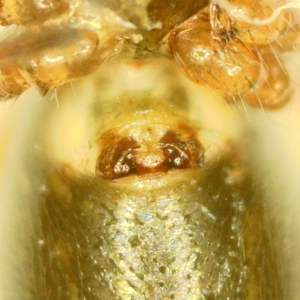
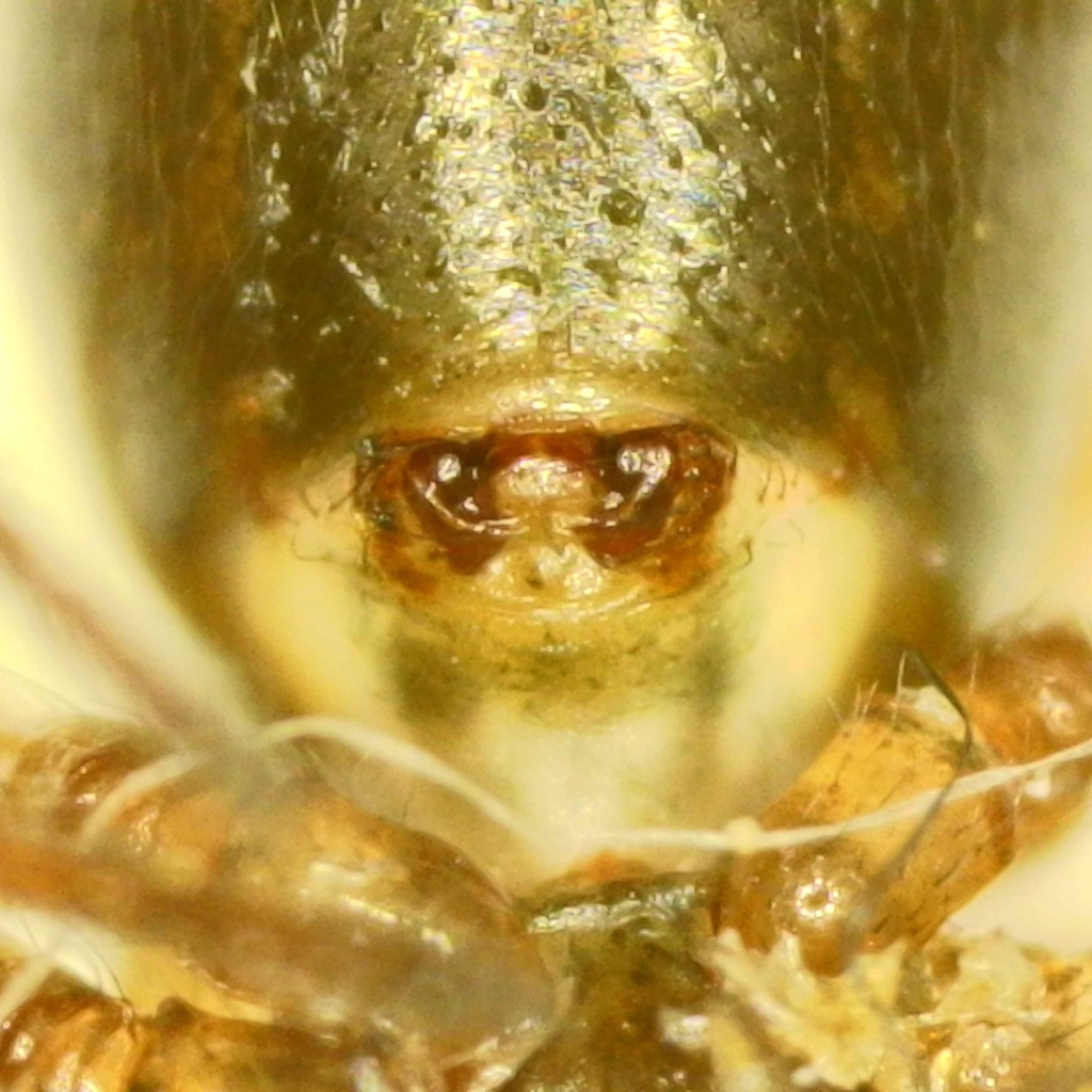
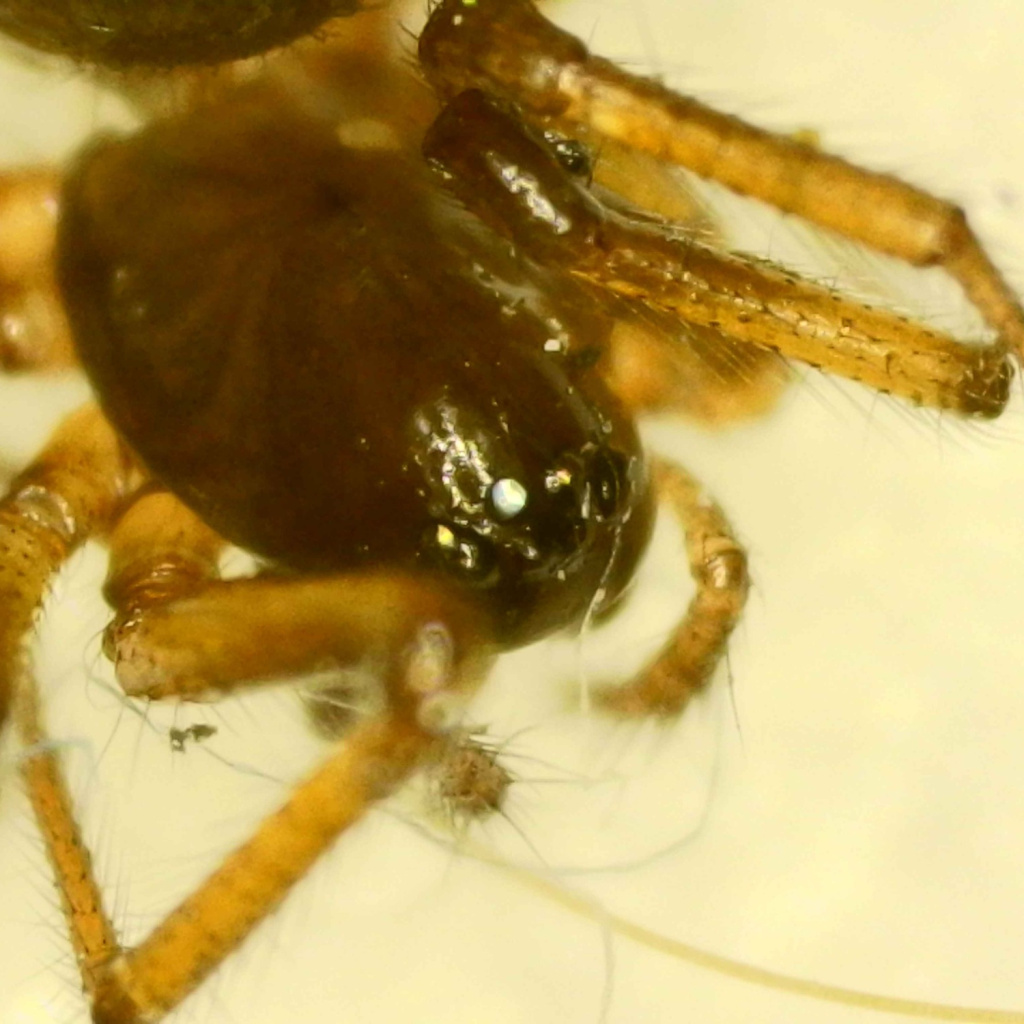
Photos and media

Spatial distribution - hectad map
Click on one of the date ranges in the key to highlight that particular range. Click anywhere else on the map to go back to all three date ranges.
Thresholds:
Move mouse cursor over dot for info
Rejected records are excluded from this map. Unverified records are included.
Temporal distribution - records by year
Records that span more than one year are not included in this chart.
Temporal distribution - records by week
__