Species Details
- Species name
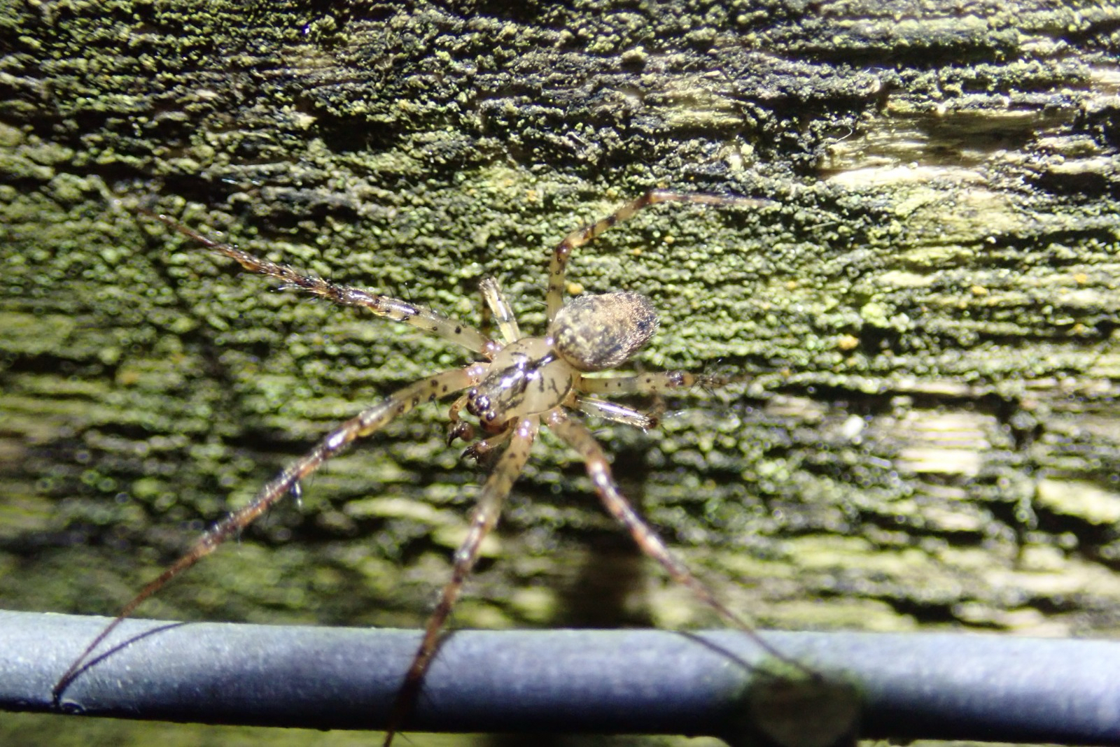
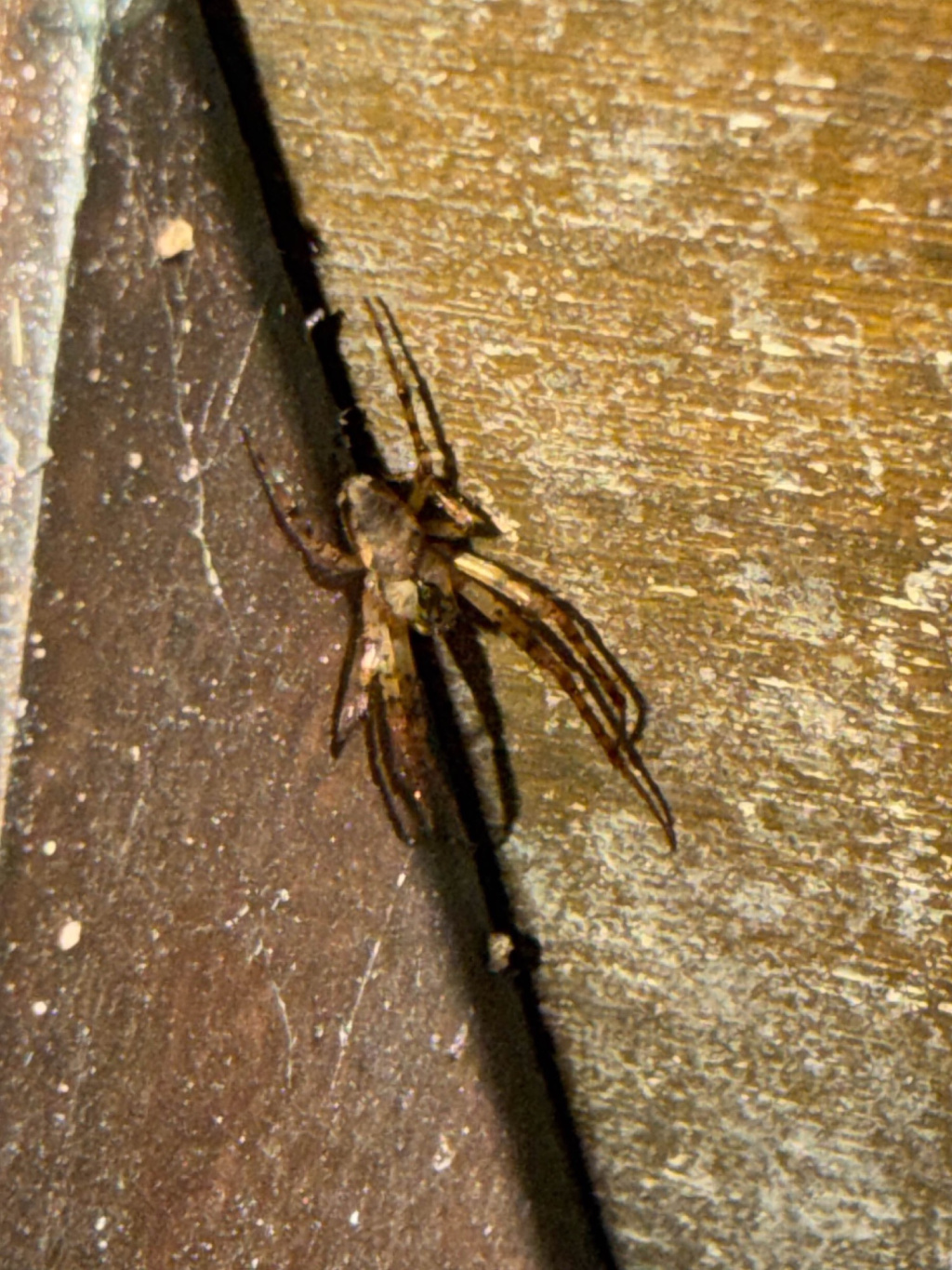
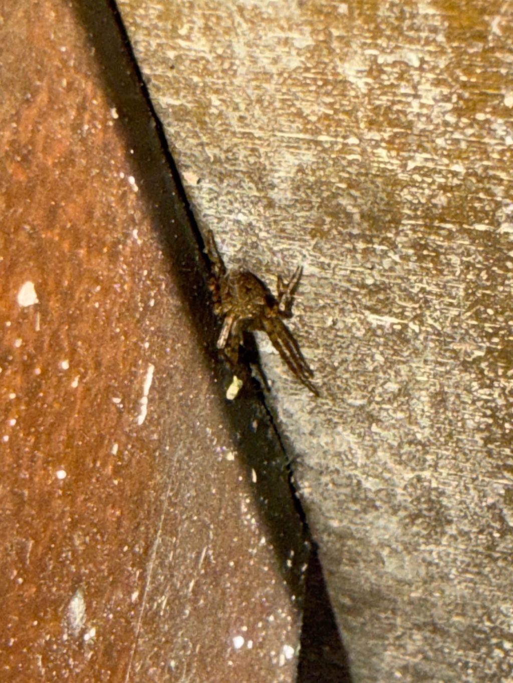
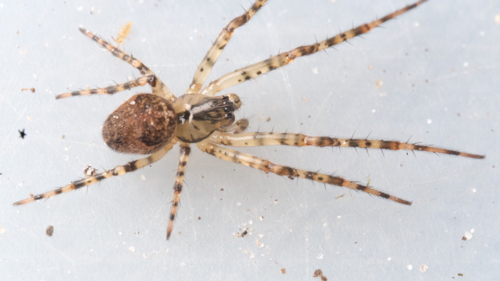
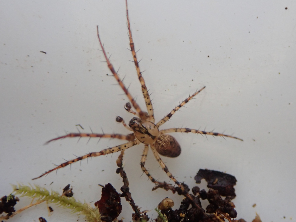
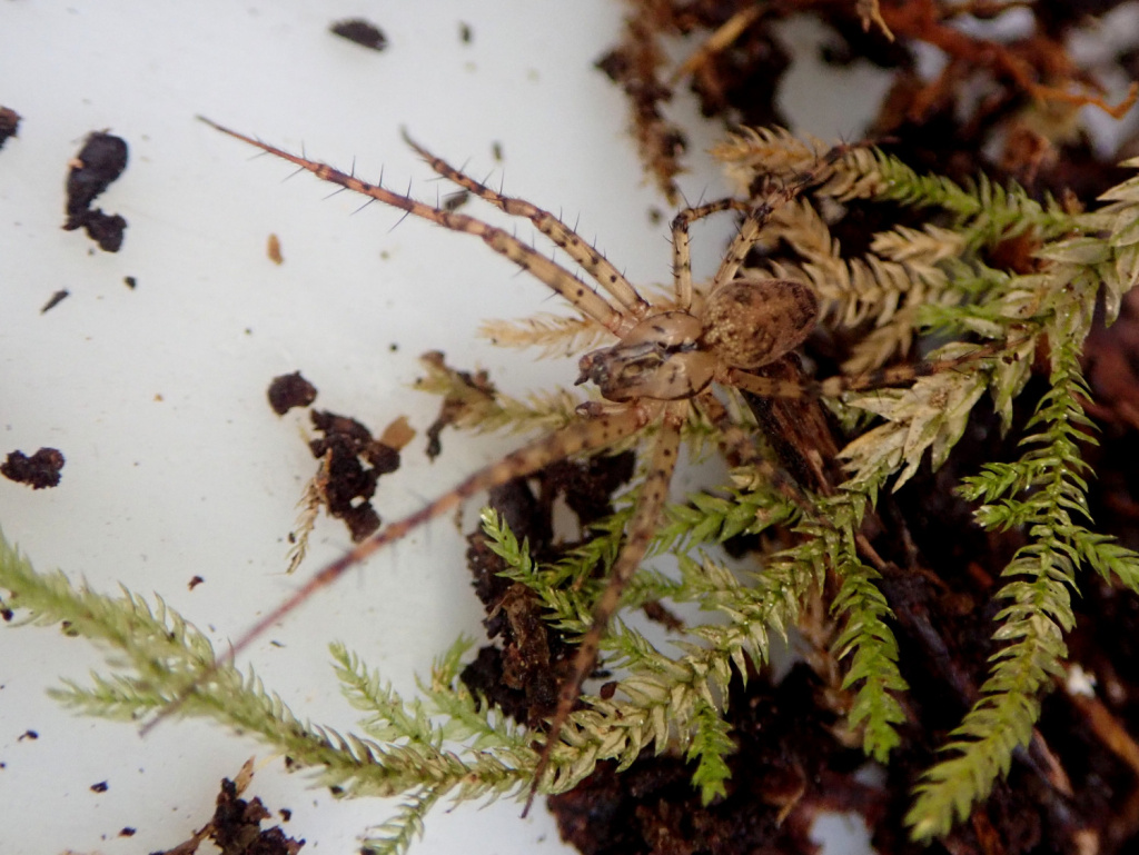
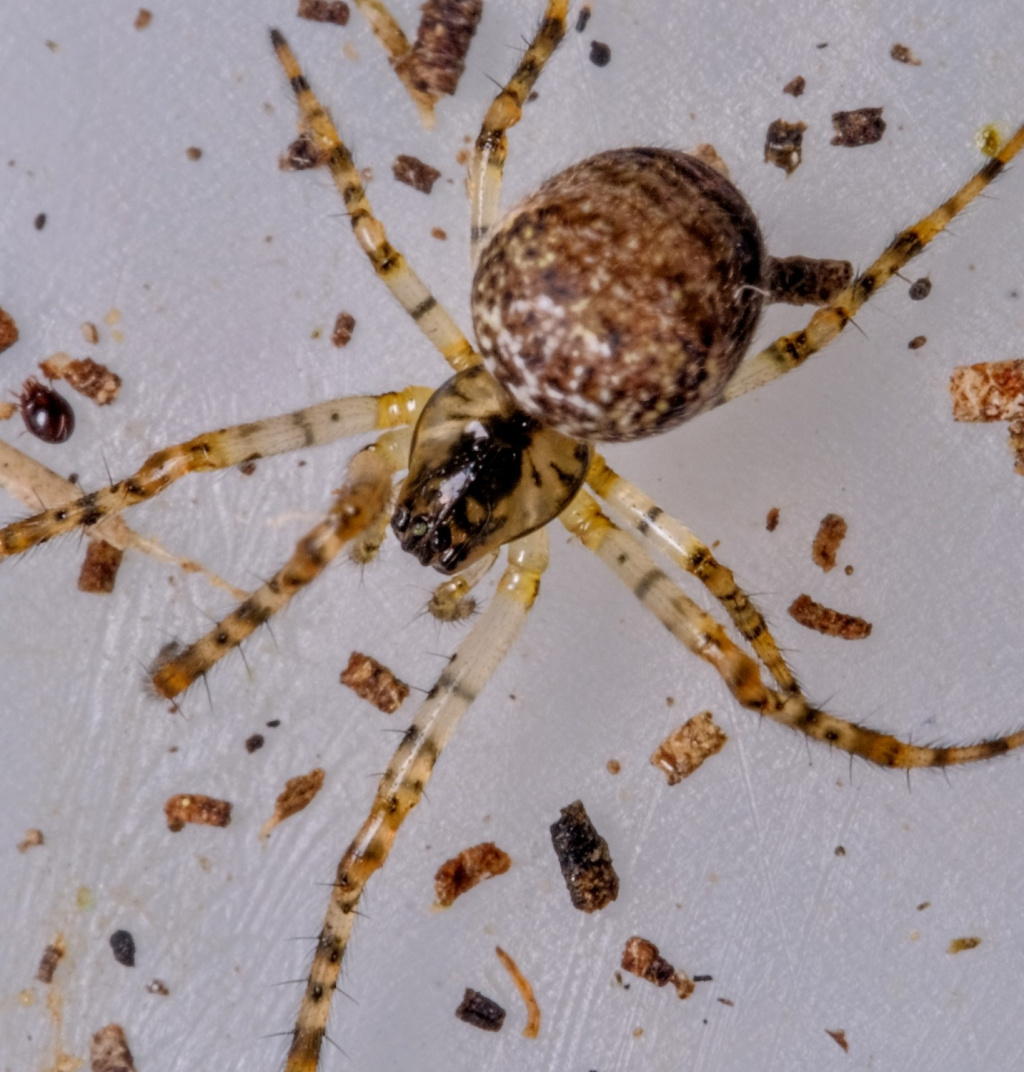
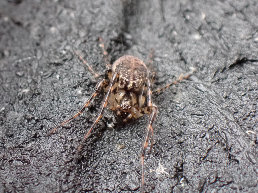
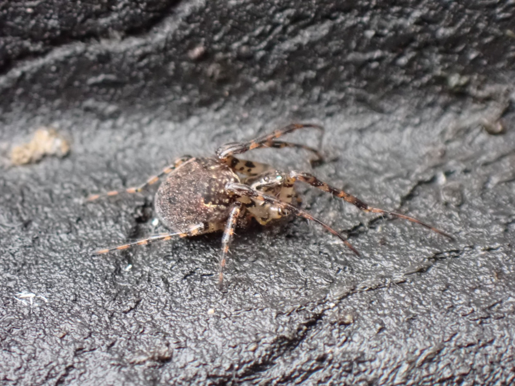
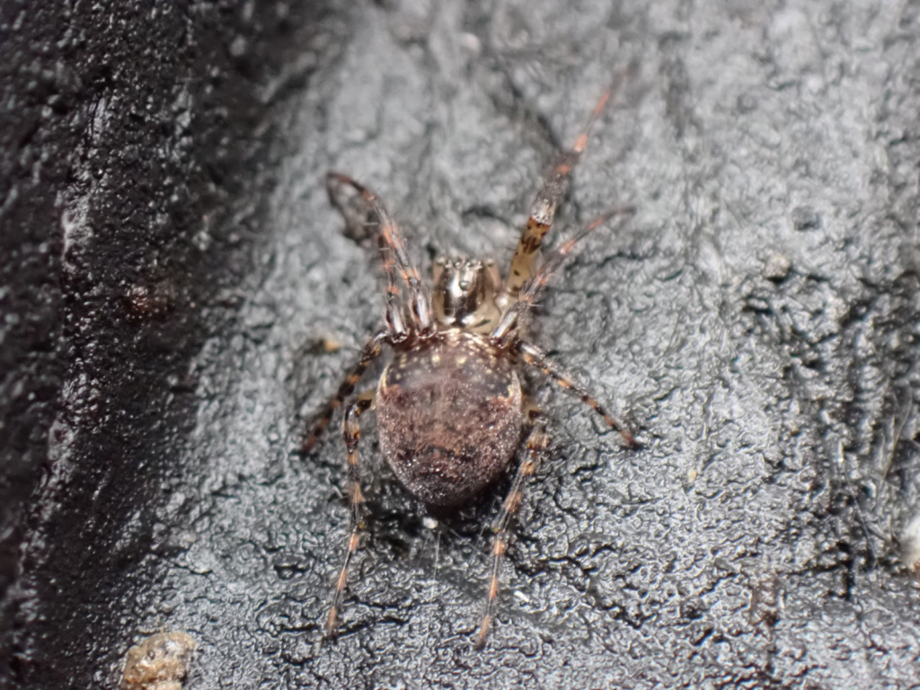
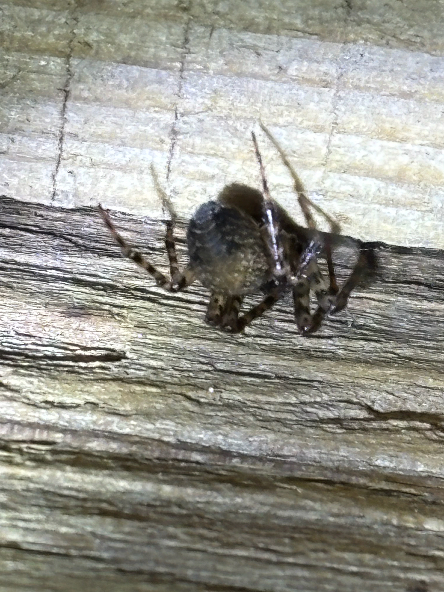
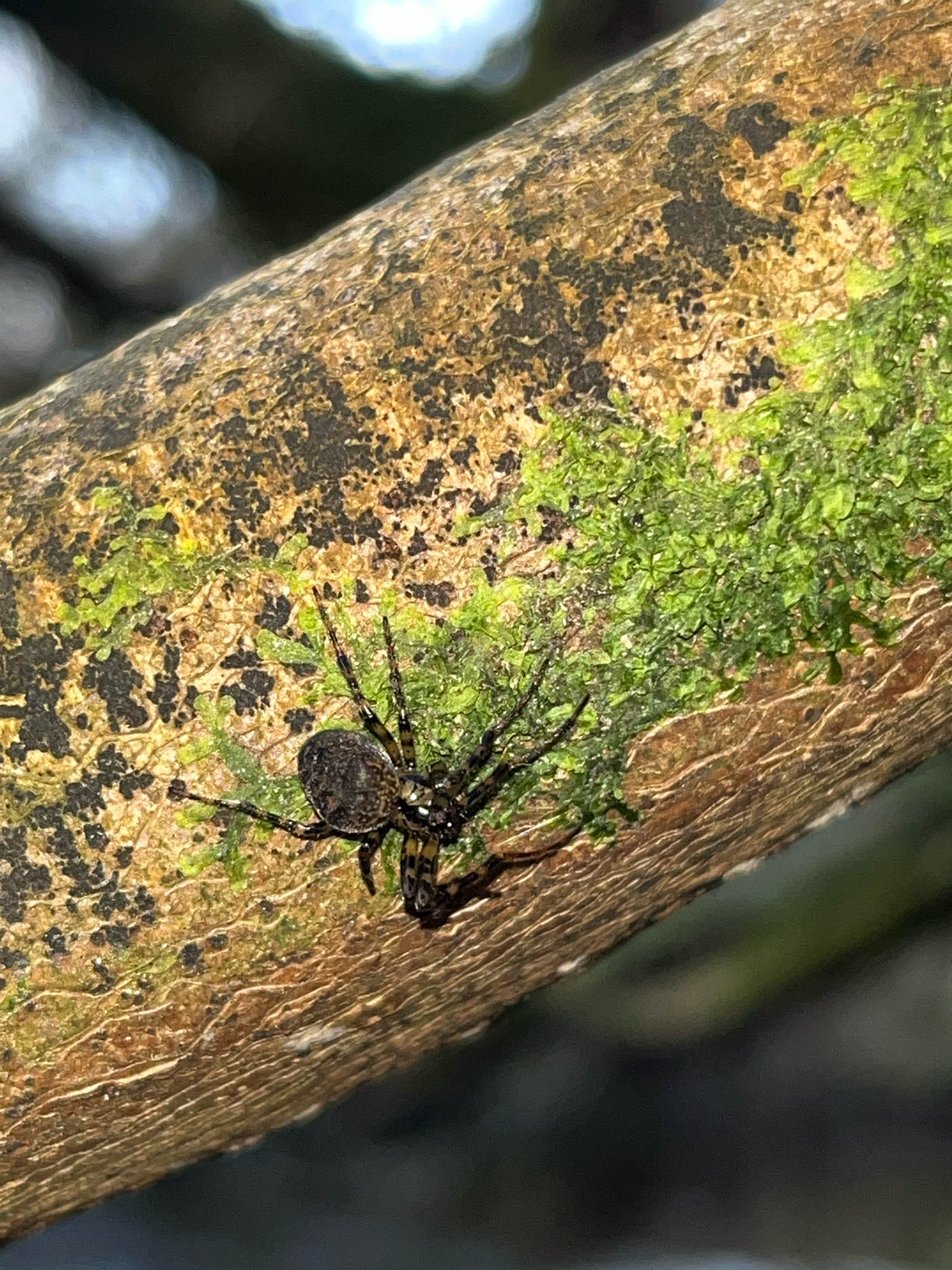
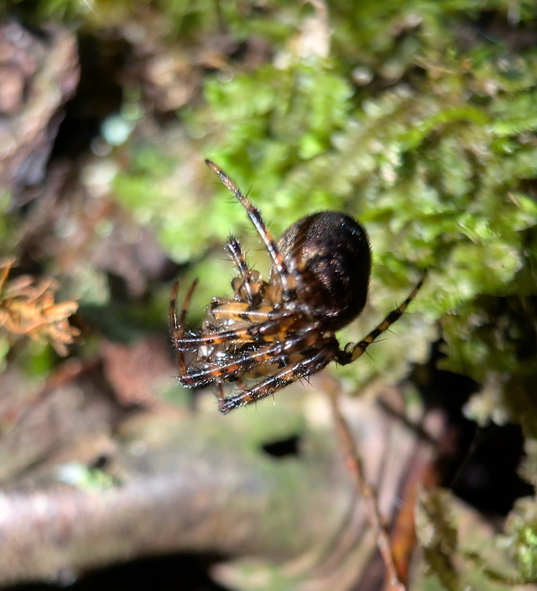
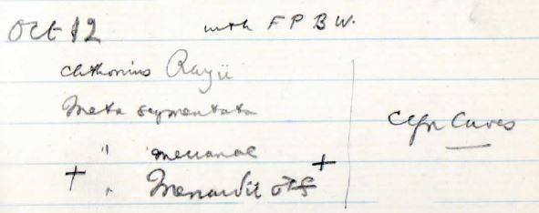
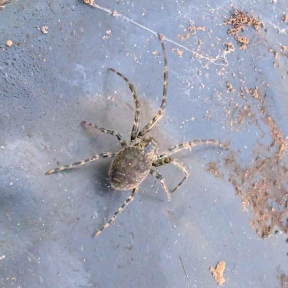
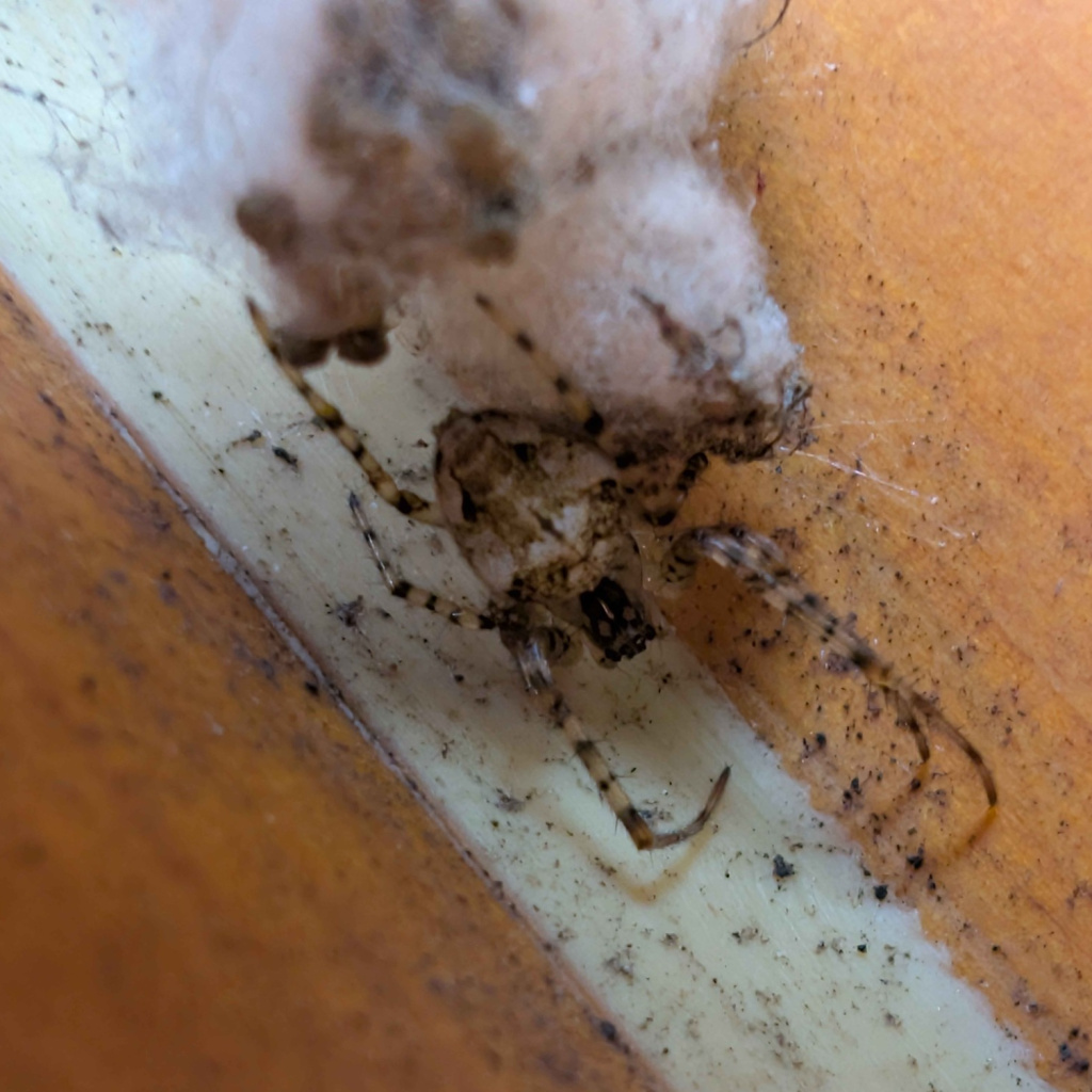
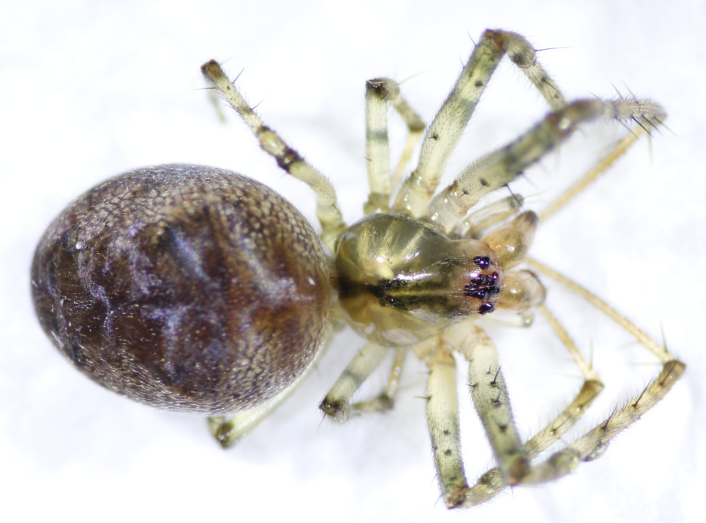
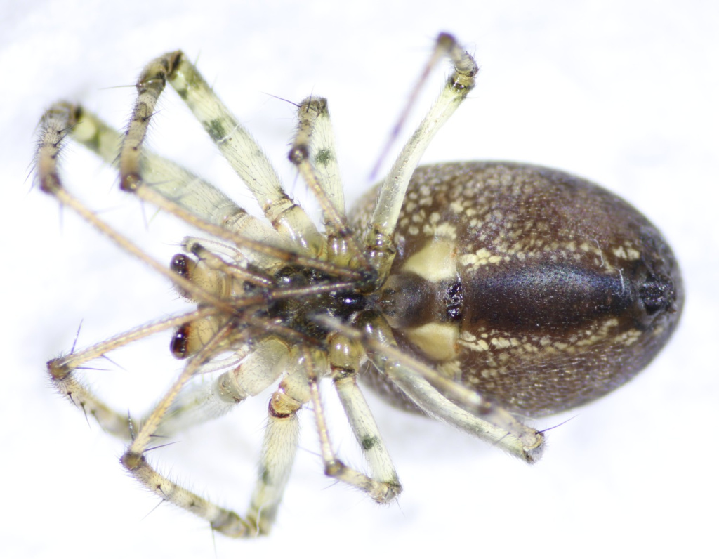
- Metellina merianae (Scopoli, 1763)
- Synonyms
- Metellina antriada (Walckenaer), Metellina celata (Blackwall), Metellina fusca (Degeer, 1778), Metellina merianae subsp. celata, Meta merianae (Scopoli, 1763)
- Taxonomy
- Animalia :: Araneae :: Tetragnathidae
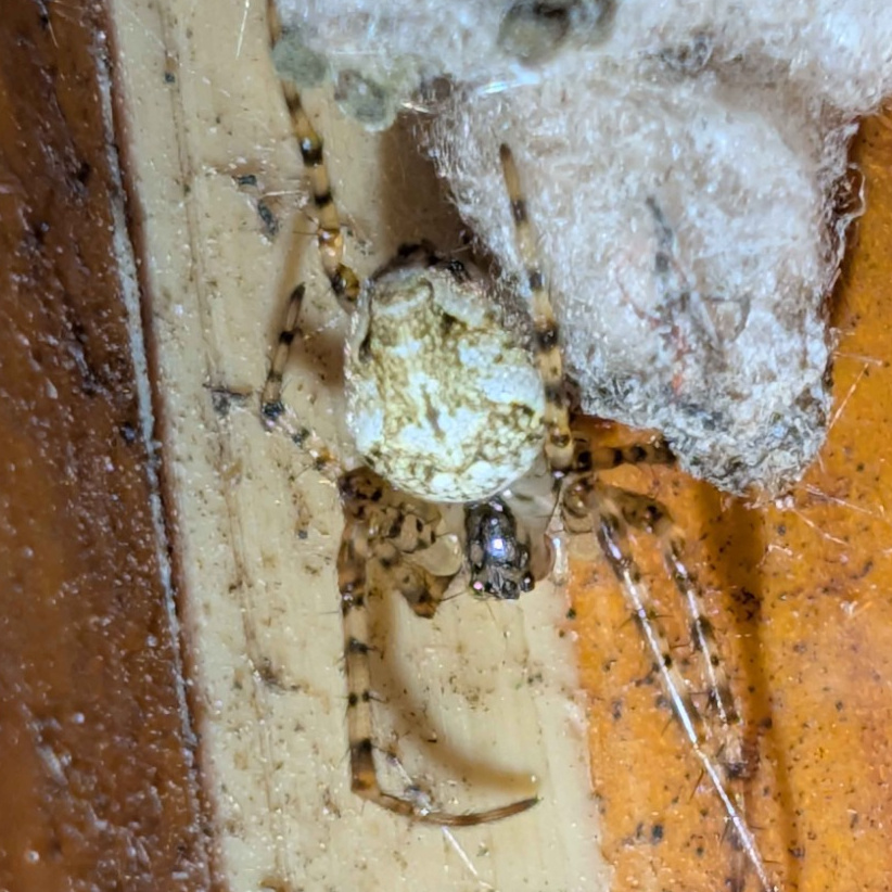
- decaying wood
Distribution
The species is widespread in much of Britain. It is widespread in western and central Europe, extending as far east as Georgia (Platnick 1998).Habitat and ecology
This spider produces an orb web in shady, damp habitats, but is usually found concealed away from its web during the day. M. merianae can be found in boathouses, cellars, abandoned rabbit and badger burrows, hollow trees and near the entrances of caves and culverts, particularly in the vicinity of water seeps. A favoured habitat of this spider is beneath soil overhangs in a variety of habitats including woodland and moorland to over 500 m altitude above Loch Lomond in Dunbartonshire (J. Newton, pers. comm.). Specimens have also been found on bushes and rock faces within the spray zones of waterfalls. Both sexes have been recorded throughout the year, with peaks in late spring/early summer and late summer/autumn. White, spiky egg-sacs have been observed in June.Status
Common, perhaps especially so in the north where it may be abundant in webs across drainage channels with overhanging heather in moorland (I. Dawson, pers. comm.). Original author of profile: R.C. Gallon Text based on Harvey, P.R., Nellist, D.R. & Telfer, M.G. (eds) 2002. Provisional atlas of British spiders (Arachnida, Araneae), Volumes 1 & 2. Huntingdon: Biological Records Centre.Stats
- First recorded
- 1862
- Last recorded
- 2025
- Total records
- 4,591
- Total visits
- 4,507
Conservation status
Metellina merianae
| Source | Reporting category | Designation | Date designated | Comments |
|---|---|---|---|---|
| A Review of the scarce and threatened spiders (Araneae) of Great Britain: Species Status No. 22 (Sep 2017) | Red listing based on 2001 IUCN guidelines | Least concern | 01/09/2017 |
Photos and media
Spatial distribution - hectad map
Click on one of the date ranges in the key to highlight that particular range. Click anywhere else on the map to go back to all three date ranges.
Thresholds:
Move mouse cursor over dot for info
Rejected records are excluded from this map. Unverified records are included.
Temporal distribution - records by year
Records that span more than one year are not included in this chart.
Temporal distribution - records by week
__