Species Details
- Species name
- Oedothorax gibbosus (Blackwall, 1841)
- Synonyms
- Oedothorax gibbosus subsp. tuberosus (Blackwall, 1841), Oedothorax gibbosa (Blackwall), Oedothorax tuberosus (Blackwall, 1841), Oedothorax gibbosus/tuberosus, Oedothorax gibbosus form tuberosus (Blackwall, 1841), Oedothorax gibbosus var. tuberosus (Blackwall, 1841)
- Taxonomy
- Animalia :: Araneae :: Linyphiidae
- acid & sedge peats
Distribution
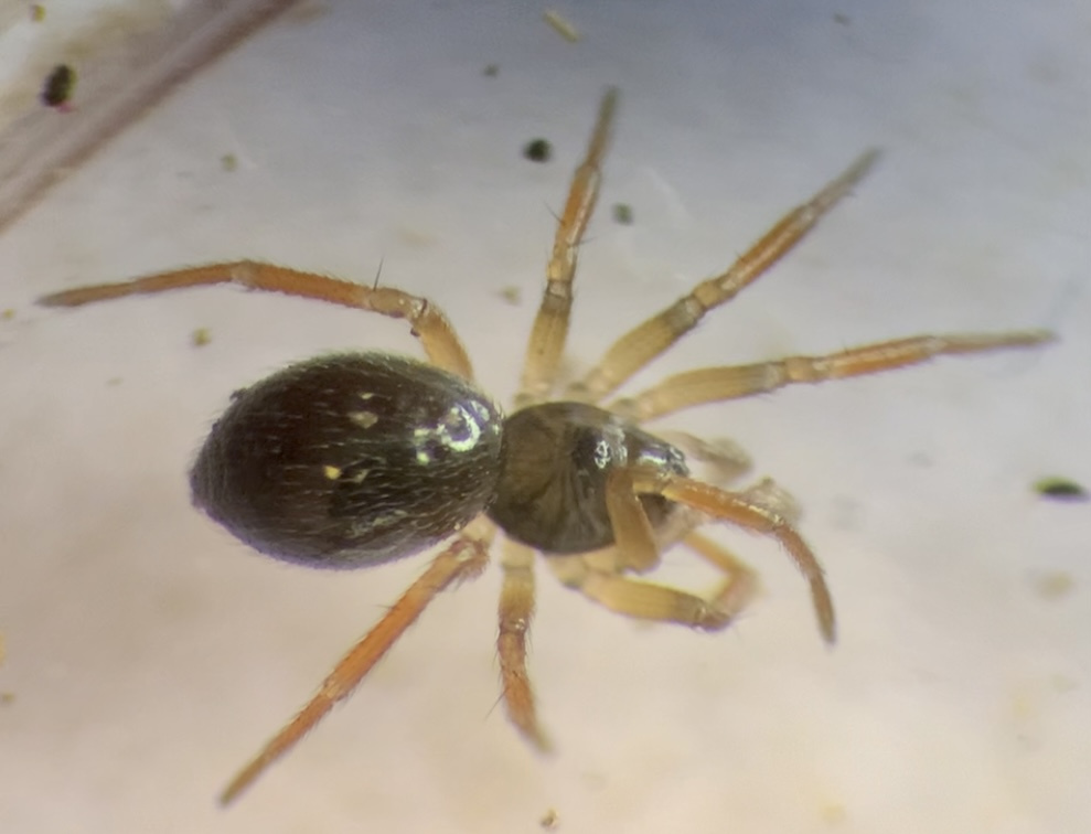
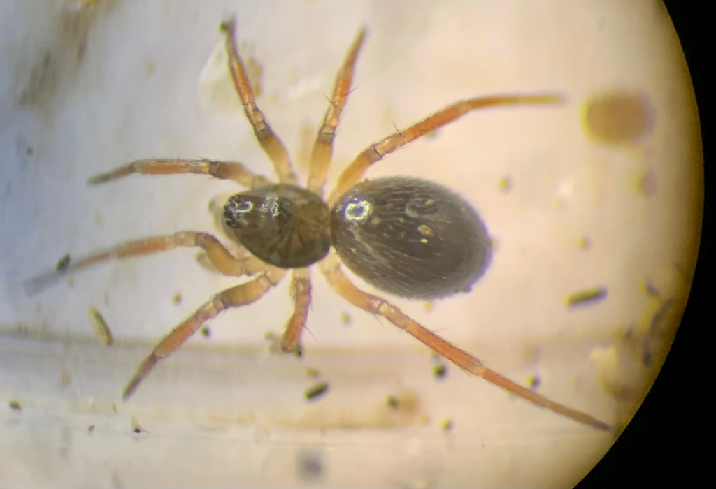
The Distribution: is widespread in most of England and Wales but patchy and scattered in Scotland and some parts of southern England. The species is widespread in north-western and central Europe.Habitat and ecology
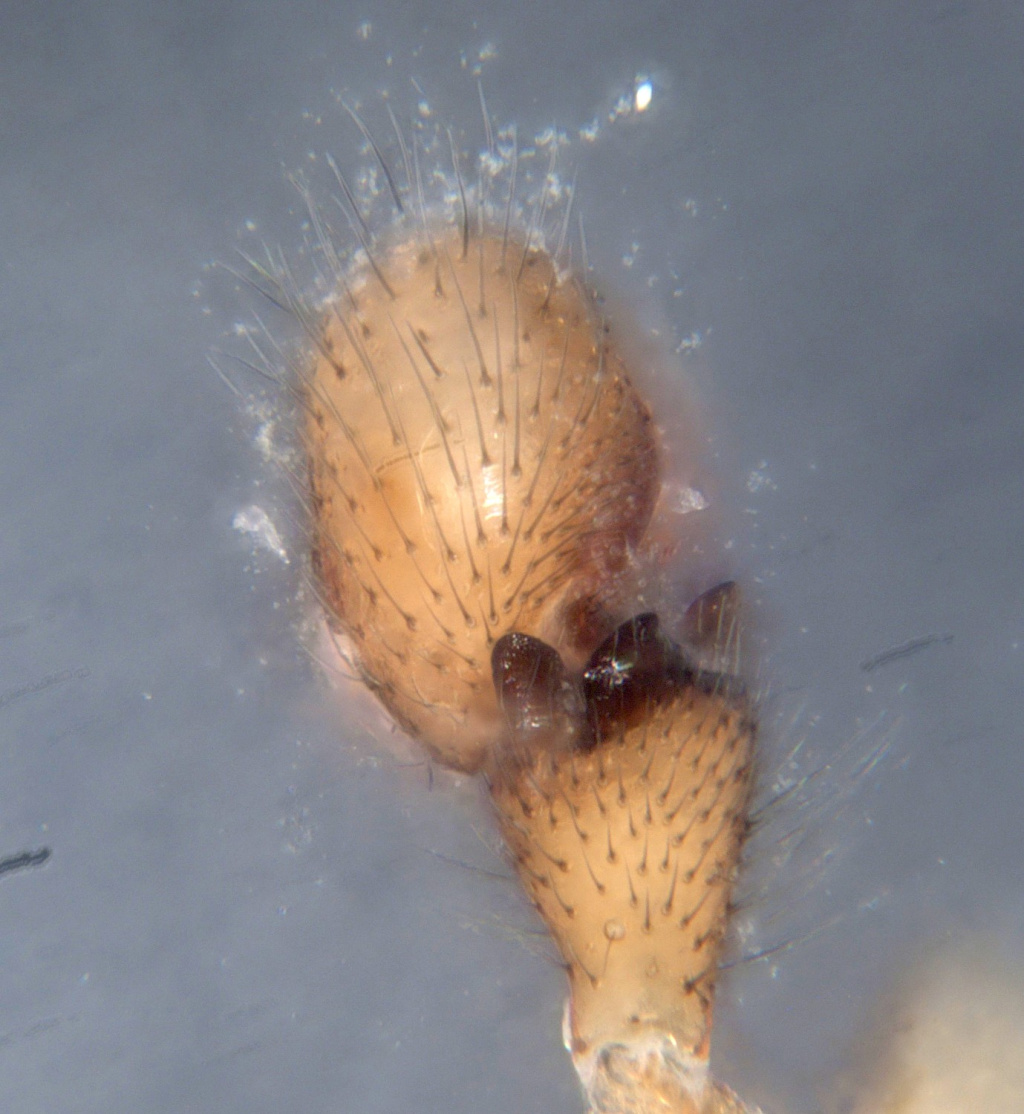
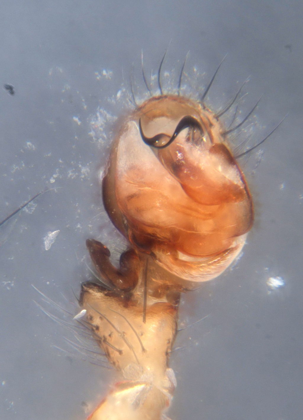
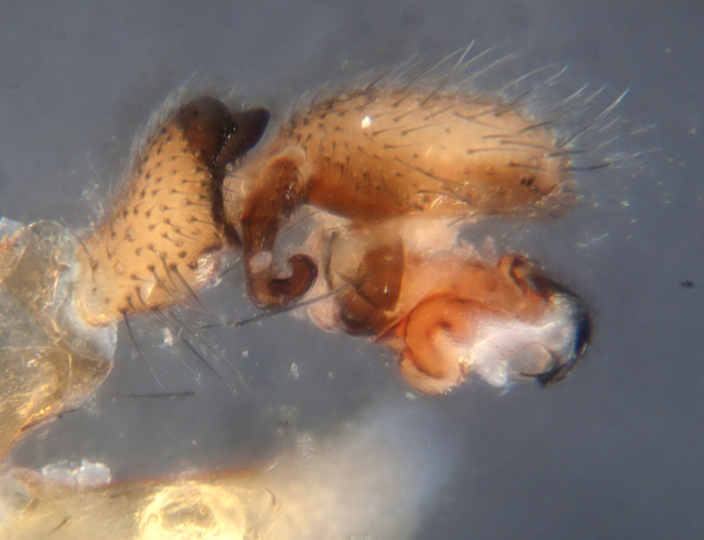
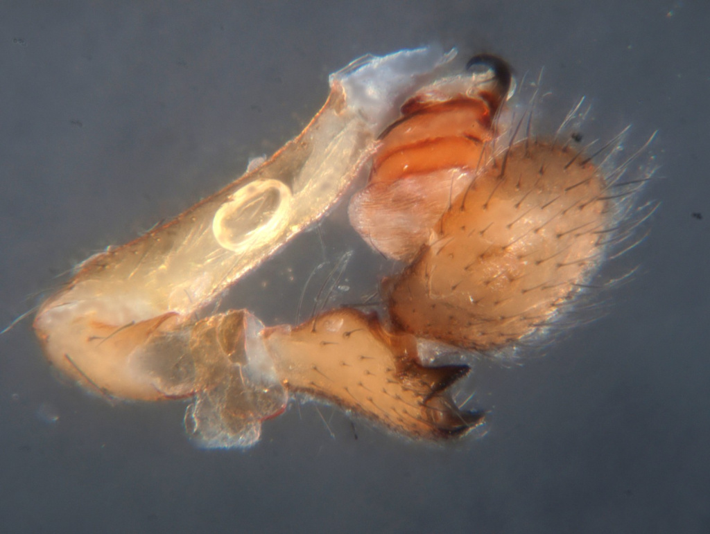
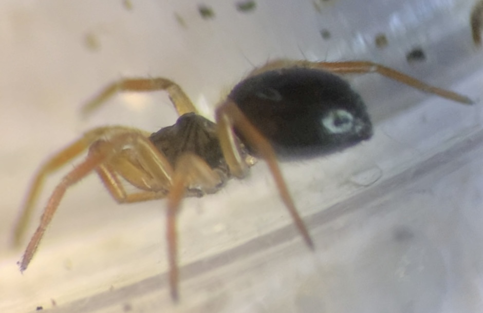
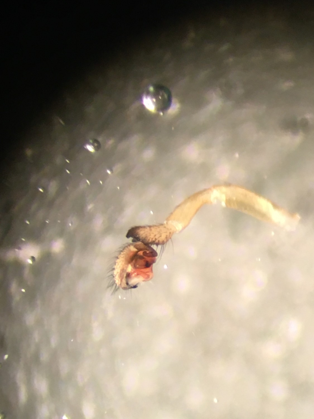
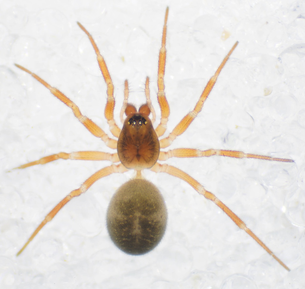
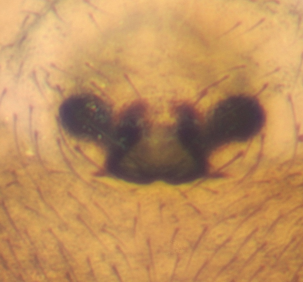
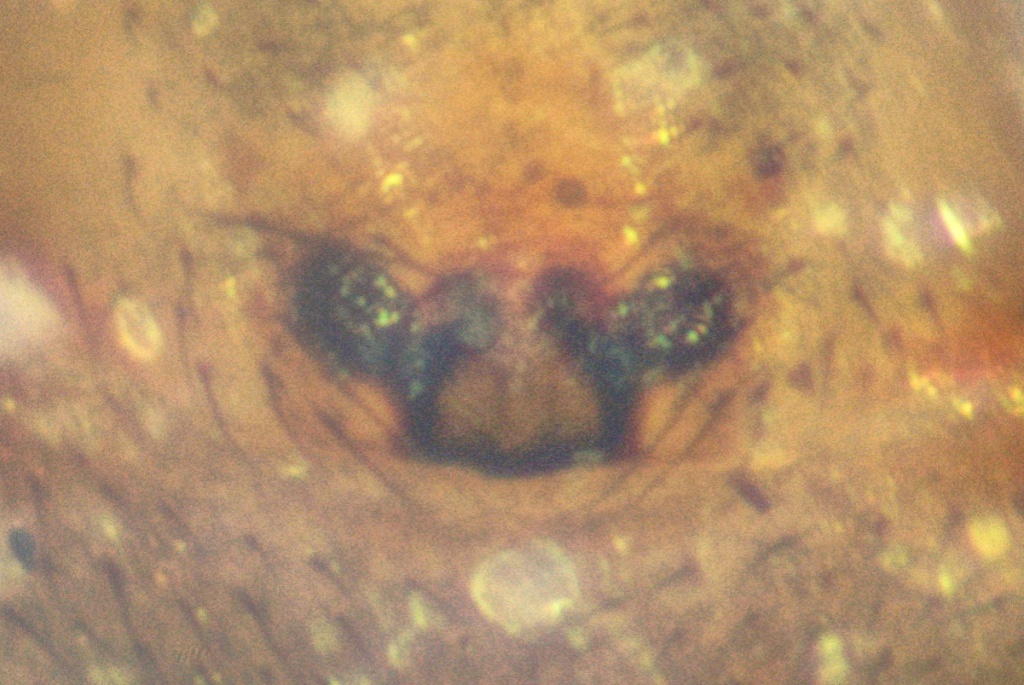
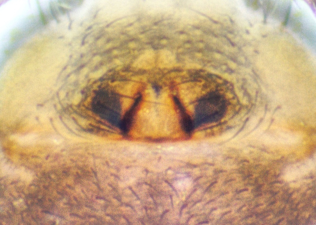
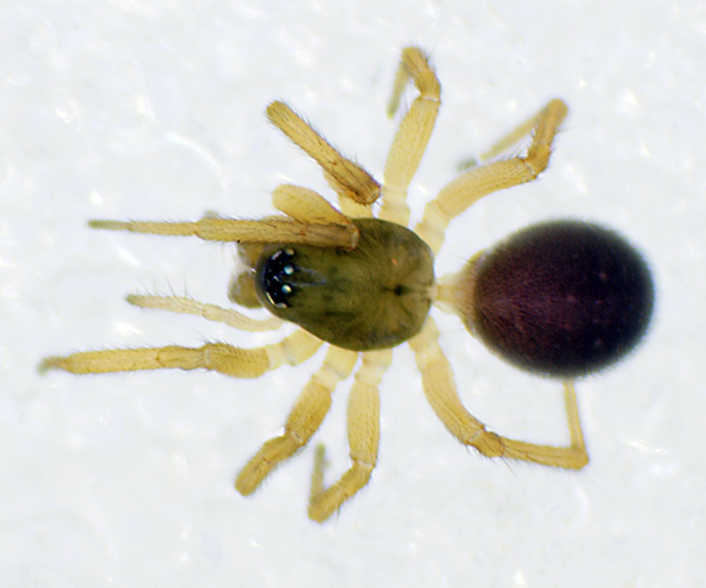
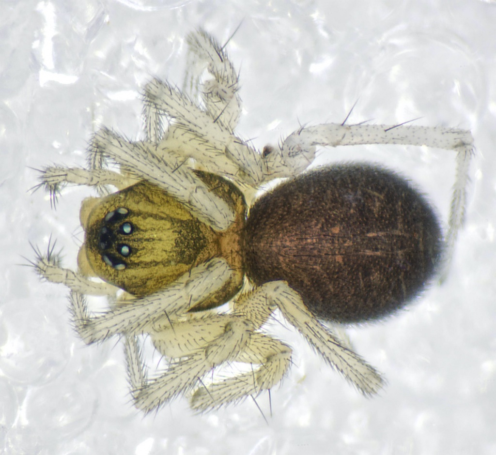
O. gibbosus is associated with bogs, fens, wet meadows and other saturated habitats. This species like others in the genus does not make webs for prey capture, but hunts over the soil surface for its prey (De Keer & Maelfait 1989). Males have a characteristic but variable head modification which does not appear until the final moult (Uhl, pers. comm.). O. gibbosus form tuberosus may be recognised by its lacking the deep notch and long hairs of the carapace of the typical form of O. gibbosus. Juvenile development is very fast, being completed in as little as a month (De Keer & Maelfait 1989). Adults have been recorded throughout the year with a peak in male activity in early summer. Our data show adults of both sexes are mostly recorded in early summer with a smaller peak in September.Status
Common. Original author of profile: J.R. Bell Text based on Harvey, P.R., Nellist, D.R. & Telfer, M.G. (eds) 2002. Provisional atlas of British spiders (Arachnida, Araneae), Volumes 1 & 2. Huntingdon: Biological Records Centre.Stats
- First recorded
- 1838
- Last recorded
- 2025
- Total records
- 7,192
- Total visits
- 6,757
Conservation status
Oedothorax gibbosus
| Source | Reporting category | Designation | Date designated | Comments |
|---|---|---|---|---|
| A Review of the scarce and threatened spiders (Araneae) of Great Britain: Species Status No. 22 (Sep 2017) | Red listing based on 2001 IUCN guidelines | Least concern | 42979 |
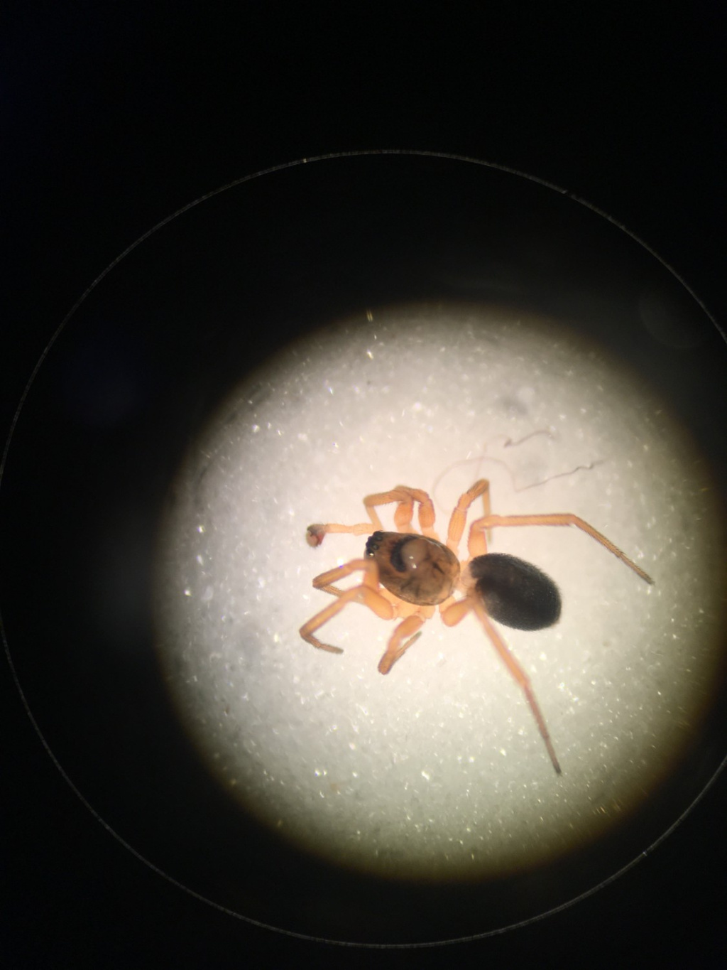
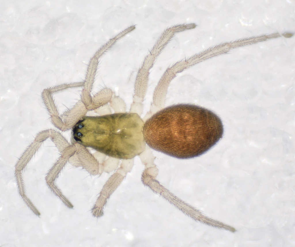
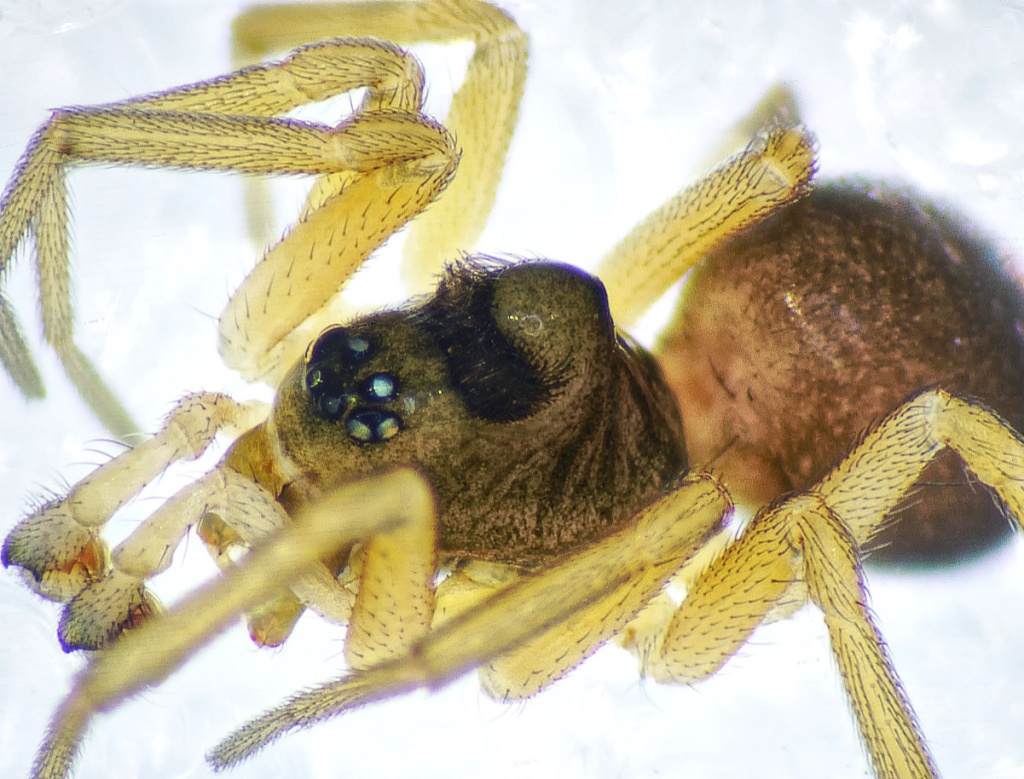
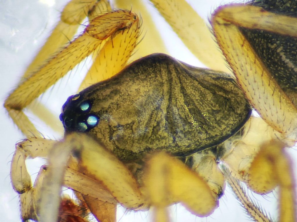
Photos and media


Spatial distribution - hectad map
Click on one of the date ranges in the key to highlight that particular range. Click anywhere else on the map to go back to all three date ranges.
Thresholds:
Move mouse cursor over dot for info
Rejected records are excluded from this map. Unverified records are included.
Temporal distribution - records by year
Records that span more than one year are not included in this chart.
Temporal distribution - records by week
__