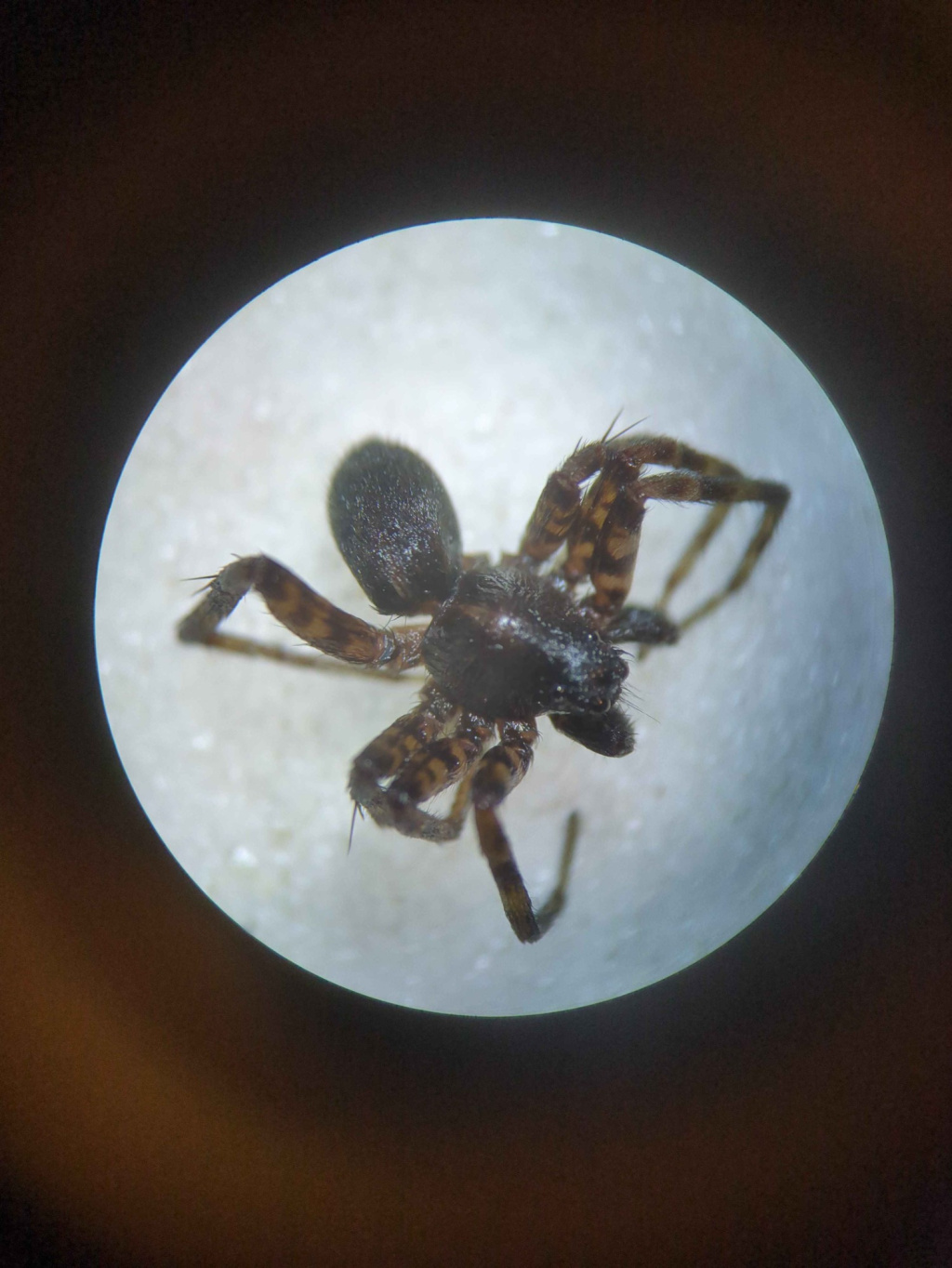
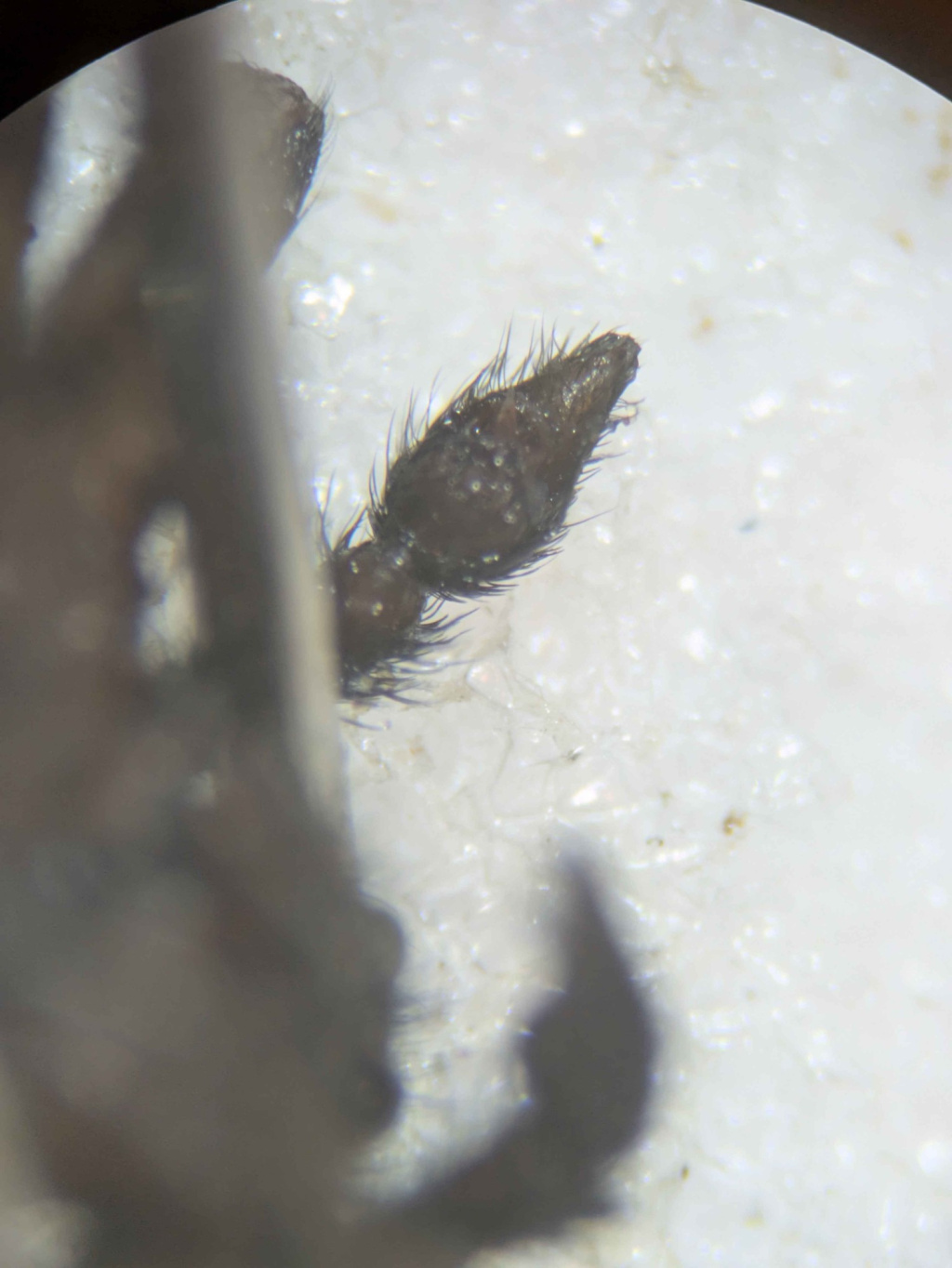
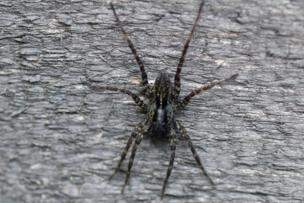
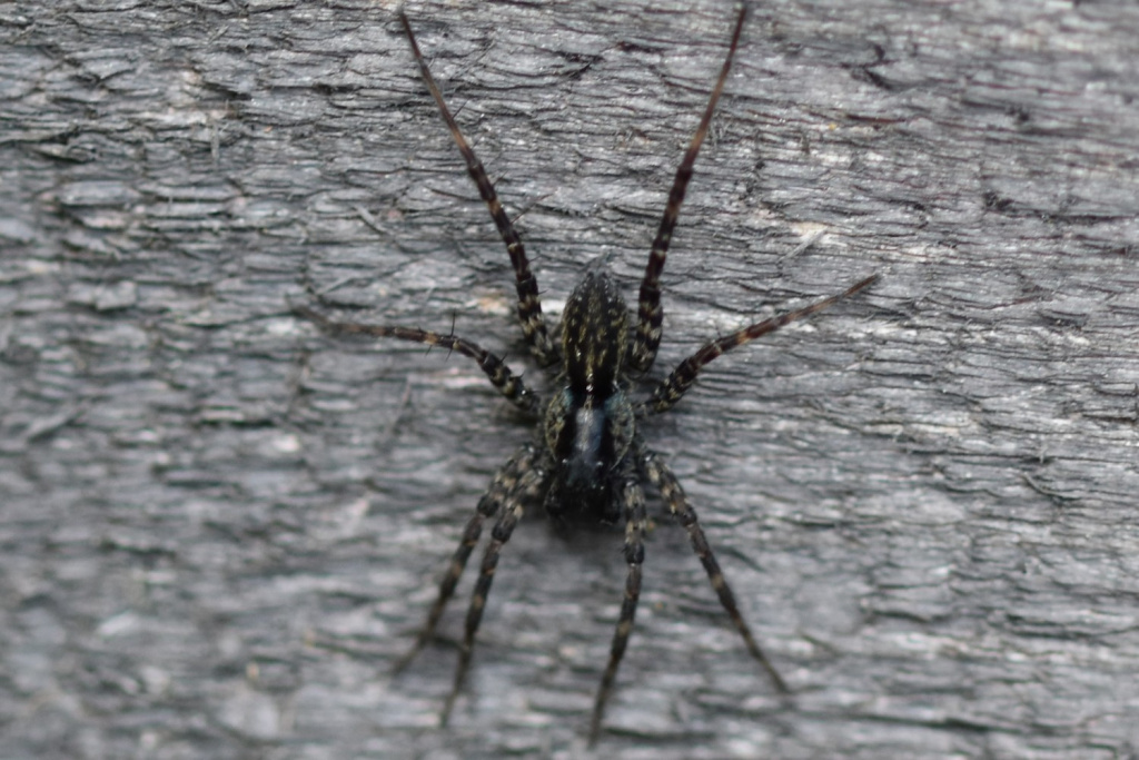
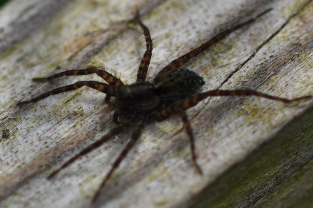
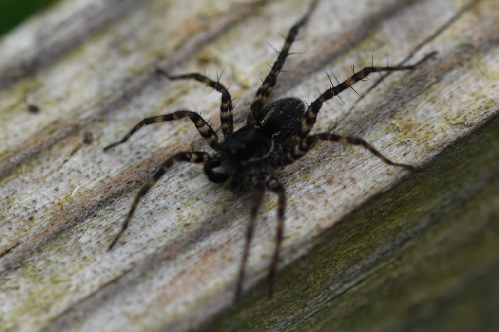
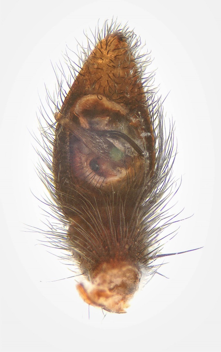
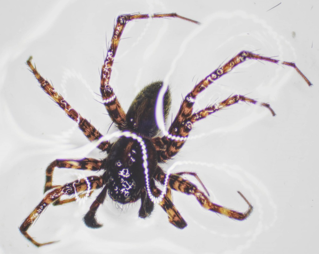
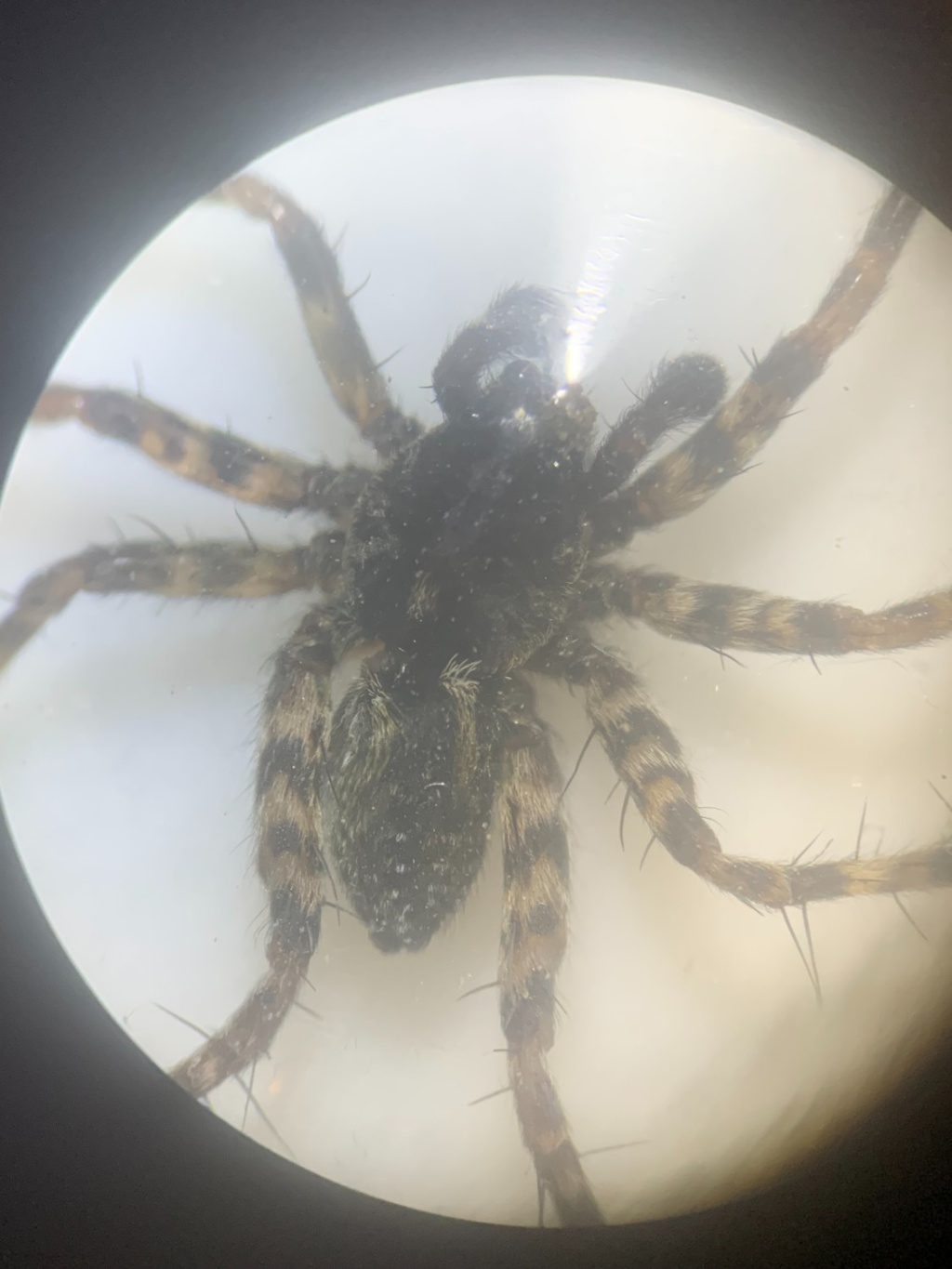
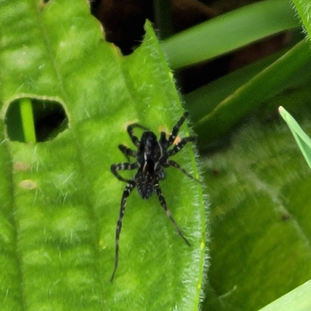
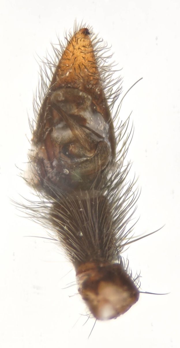
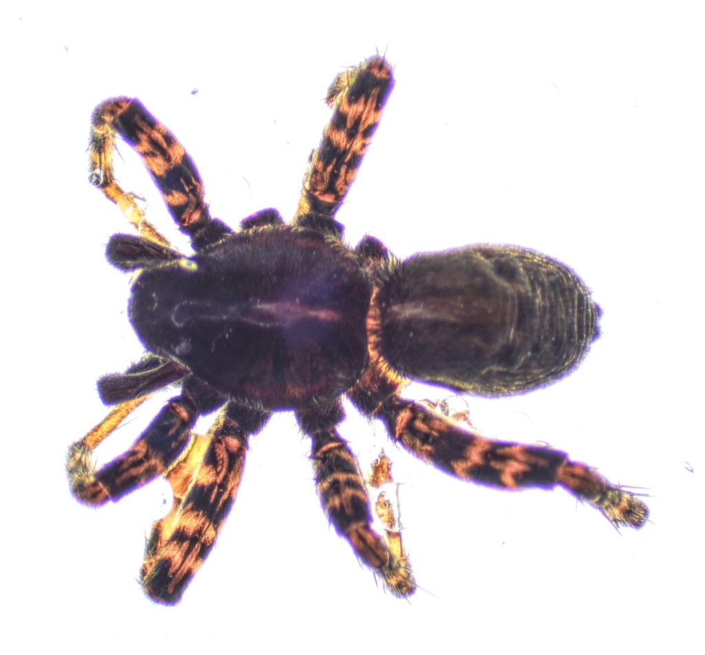
Species Details
- Species name
- Pardosa prativaga (L. Koch, 1870)
- Synonyms
- Pardosa riparia, Lycosa prativaga L. Koch, 1870
- Taxonomy
- Animalia :: Araneae :: Lycosidae
- tall sward & scrub
Distribution
The species is widespread in the southern half of Britain, with very scattered records further north. It is widespread in north-western and central Europe.Habitat and ecology
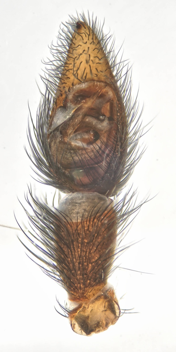
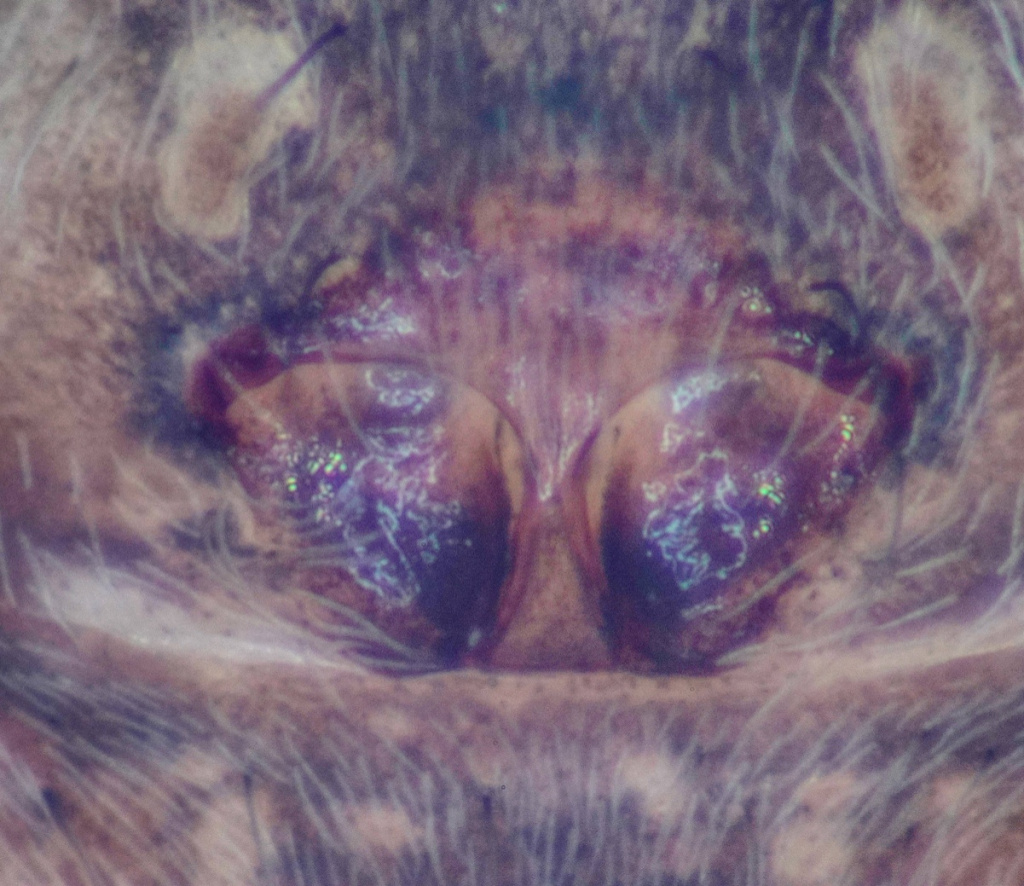
P. prativaga occurs on open ground and herbage in various open habitats including grasslands, waste ground, fields, heathland, woodland clearings, dunes, old quarries and roadside verges as well as in wet places such as dyke edges, fens, marshes and bogs. At Braunton Burrows in Devon, the species has been recorded across the dune system from the seaward mobile dunes, through the dune slacks to the landward heathy area with bracken (Merrett 1967b). The genitalia are quite distinct from Pardosa pullata, yet inter-specific copulations have been observed and fertile eggs sometimes result. This has only been seen with specimens in captivity, but it has been suggested that if this also happened in nature it could explain the fact that specimens are sometimes captured with the sexual organs of one but with the colouration approaching that of the other (Locket & Millidge 1951). The spider is adult mainly in early to mid-summer.Status
The spider may be abundant locally, but is scarce in northern Britain. Original author of profile: D.R. Nellist Text based on Harvey, P.R., Nellist, D.R. & Telfer, M.G. (eds) 2002. Provisional atlas of British spiders (Arachnida, Araneae), Volumes 1 & 2. Huntingdon: Biological Records Centre.Stats
- First recorded
- 1890
- Last recorded
- 2025
- Total records
- 8,979
- Total visits
- 8,544
Conservation status
Pardosa prativaga
| Source | Reporting category | Designation | Date designated | Comments |
|---|---|---|---|---|
| A Review of the scarce and threatened spiders (Araneae) of Great Britain: Species Status No. 22 (Sep 2017) | Red listing based on 2001 IUCN guidelines | Least concern | 42979 |
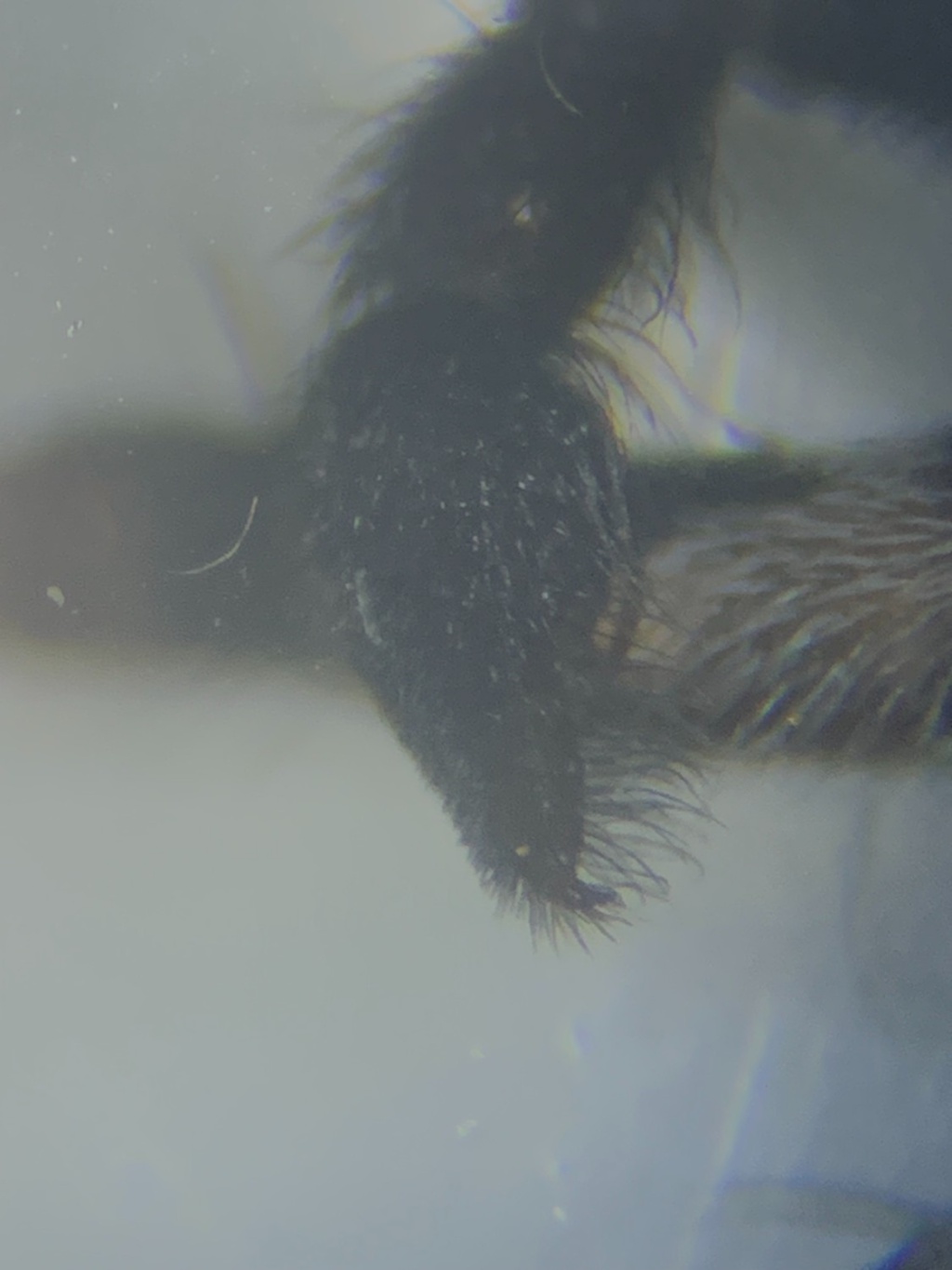
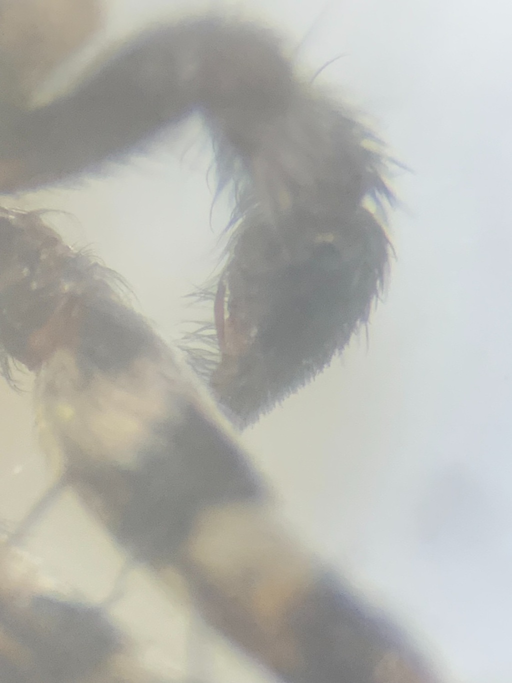
Photos and media


Spatial distribution - hectad map
Click on one of the date ranges in the key to highlight that particular range. Click anywhere else on the map to go back to all three date ranges.
Thresholds:
Move mouse cursor over dot for info
Rejected records are excluded from this map. Unverified records are included.
Temporal distribution - records by year
Records that span more than one year are not included in this chart.
Temporal distribution - records by week
__