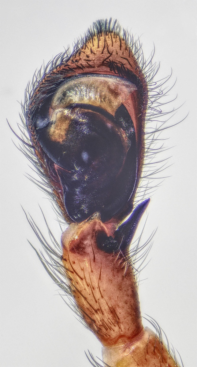
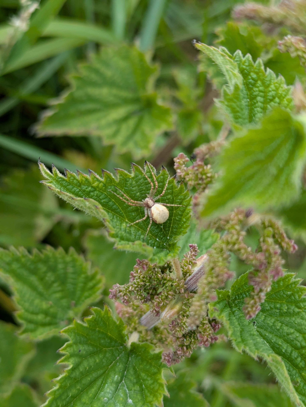
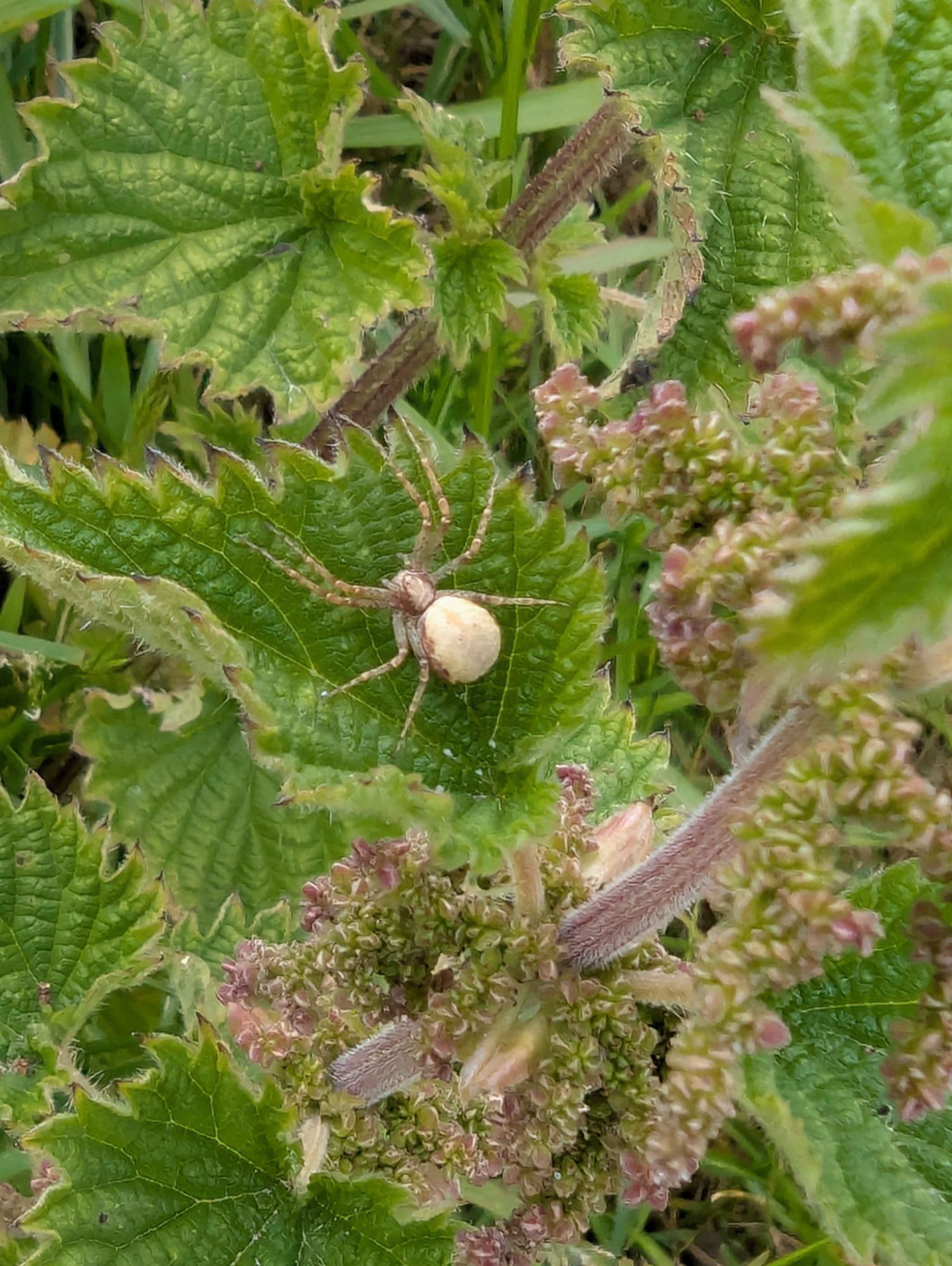
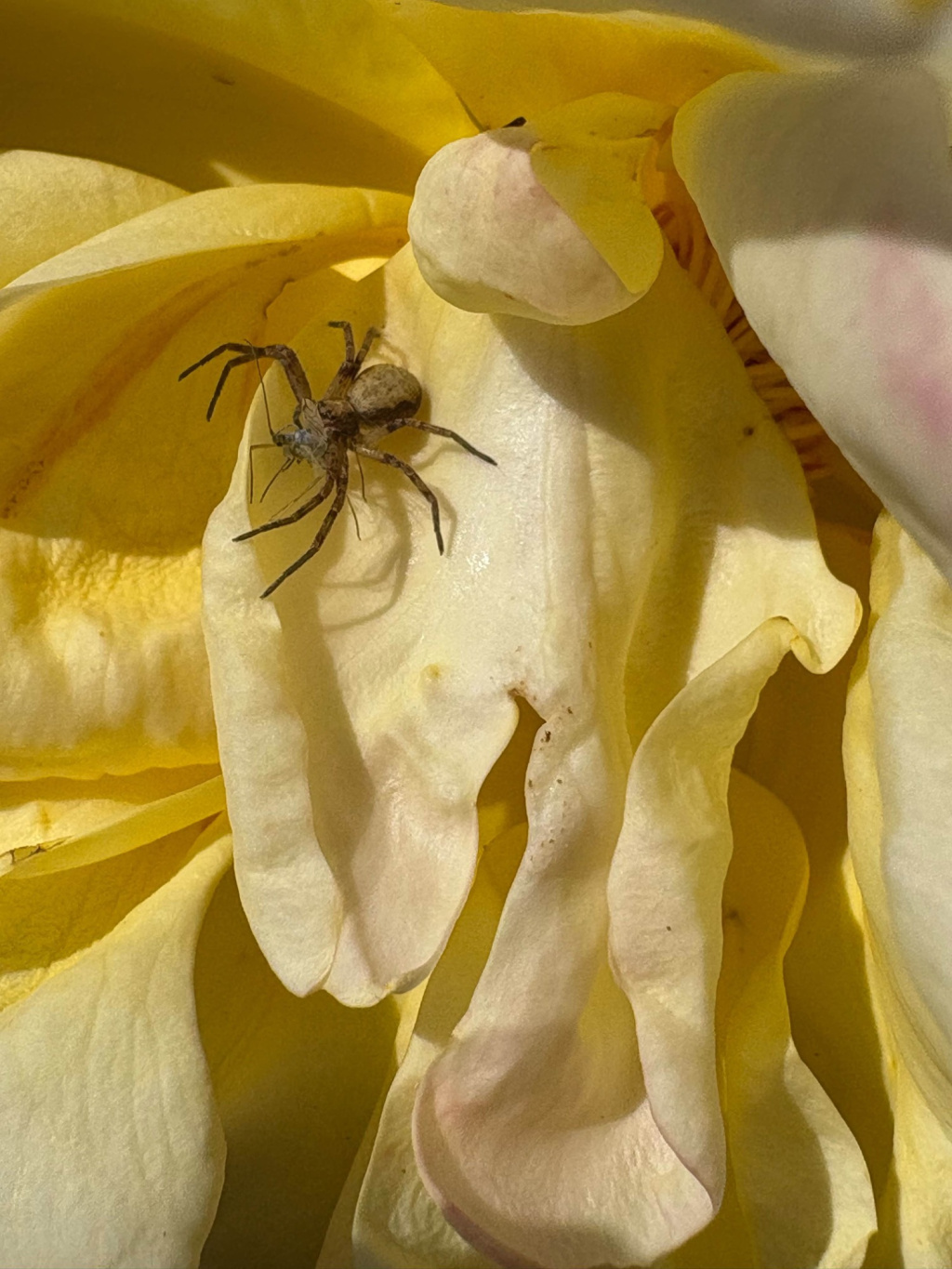
Species Details
- Species name
- Philodromus cespitum (Walckenaer, 1802)
- Synonyms
- Philodromus aureolus subsp. cespiticolis Walckenaer, 1802, Philodromus aureolus subsp. caespiticolis Walckenaer, 1802, Philodromus cespiticolens (Walckenaer, 1805), Philodromus cespiticolis Walckenaer, 1837, Philodromus aureolus var. caespiticolis Walckenaer, 1802
- Taxonomy
- Animalia :: Araneae :: Philodromidae
- arboreal
Distribution
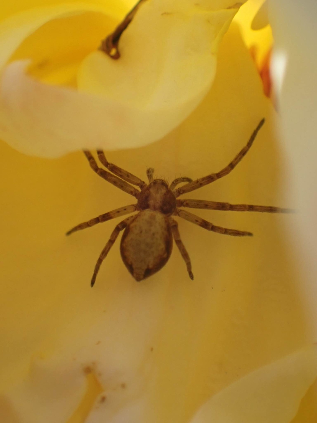
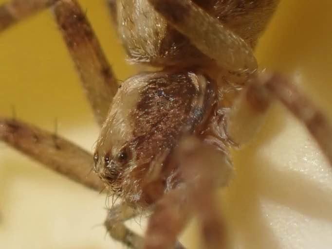
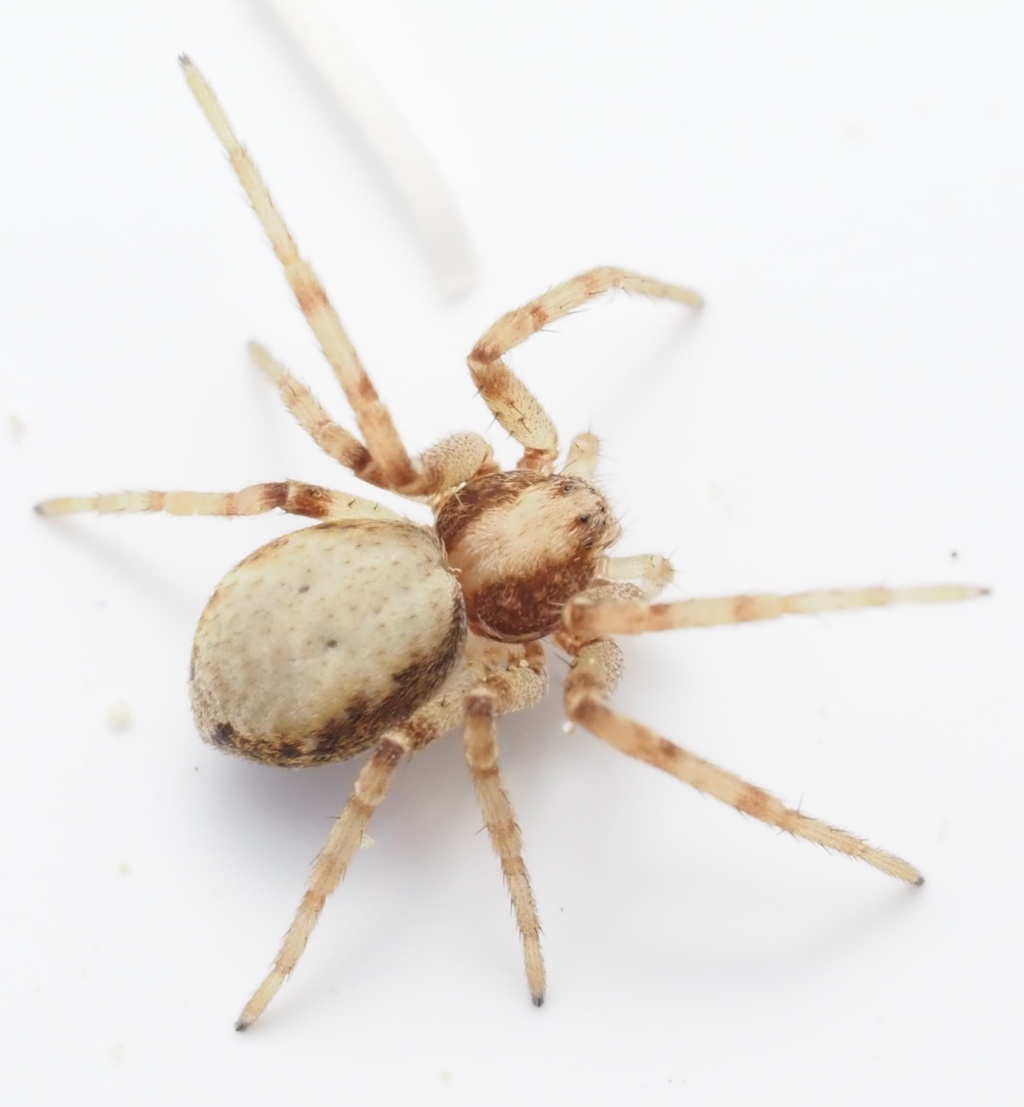
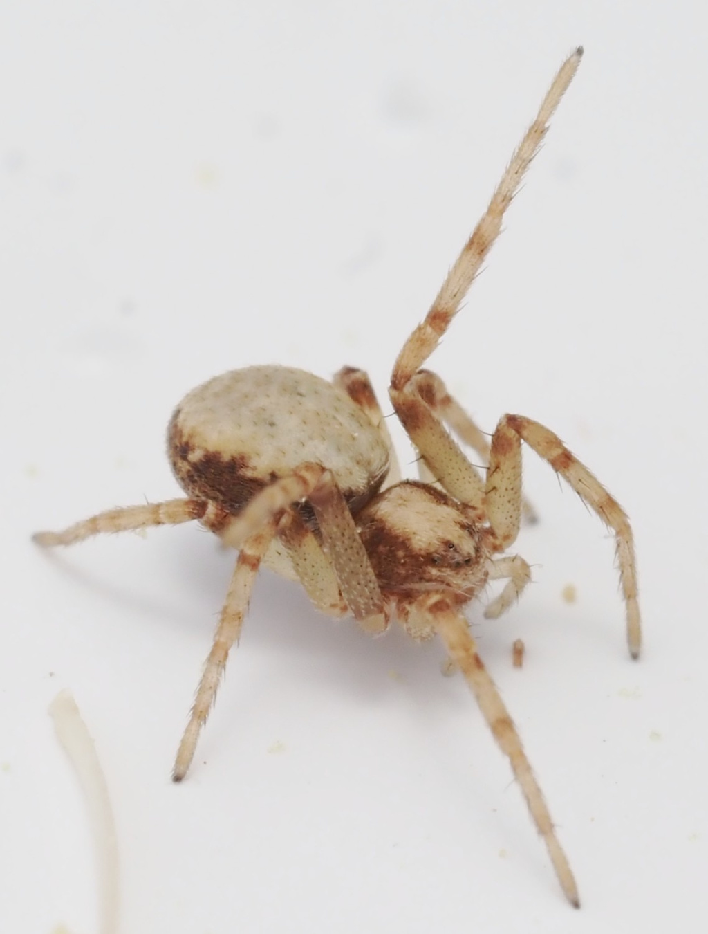
The species is widespread in much of the southern half of Britain in lowland areas, but records are scattered in the north. It is widespread in north-western and central Europe.Habitat and ecology
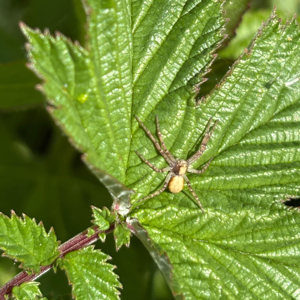
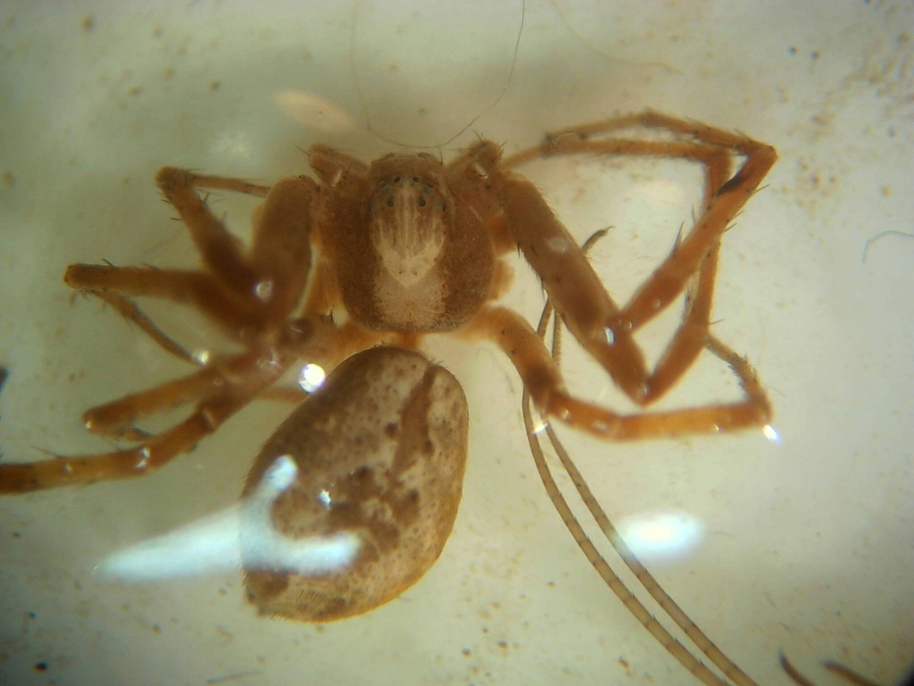
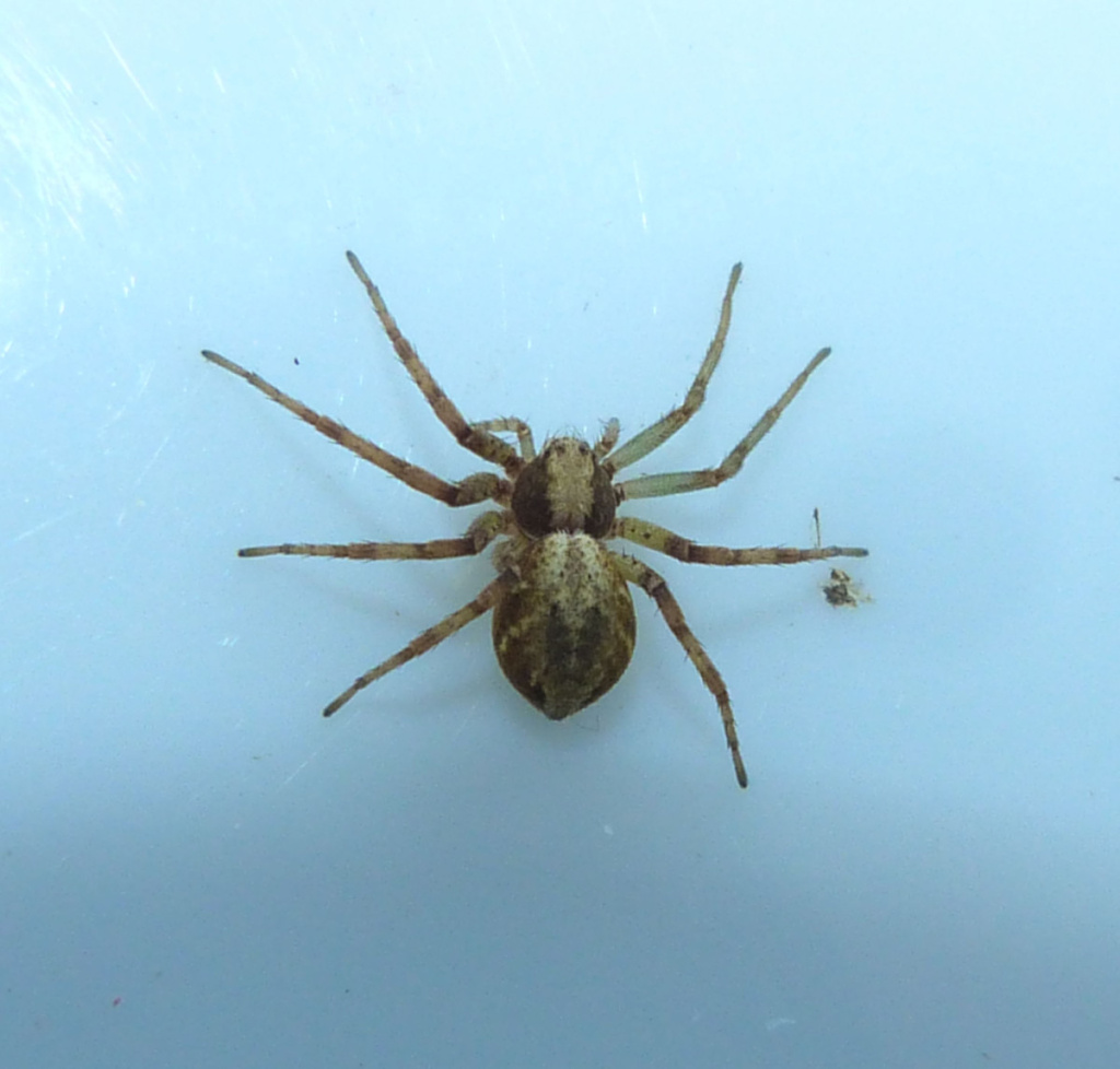
The species is found in heathland and heathery bogs, hedgerows, scrub and wooded habitats. It is more often associated with scrub and herbage than P. aureolus but is sometimes found on trees and also occasionally enters houses. A very distinct variety occurs where the dorsal abdominal cardiac mark and chevrons are replaced by a pale yellow dorsum. Adults of both sexes are found mainly in early to mid-summer, females occasionally persisting into the autumn, although one male has been recorded in October (Croker & Daws 1996) on ivy on the rear wall of a house.Status
Common. Taxonomic confusion besets this group and the species was formerly considered as a variety of aureolus (var. cespiticolis) in Locket and Millidge (1951) but recognised as a separate species by Locket et al. (1974) and subsequent publications. Original author of profile: P.R. Harvey Text based on Harvey, P.R., Nellist, D.R. & Telfer, M.G. (eds) 2002. Provisional atlas of British spiders (Arachnida, Araneae), Volumes 1 & 2. Huntingdon: Biological Records Centre.Stats
- First recorded
- 1858
- Last recorded
- 2025
- Total records
- 5,873
- Total visits
- 5,775
Conservation status
Philodromus cespitum
| Source | Reporting category | Designation | Date designated | Comments |
|---|---|---|---|---|
| A Review of the scarce and threatened spiders (Araneae) of Great Britain: Species Status No. 22 (Sep 2017) | Red listing based on 2001 IUCN guidelines | Least concern | 42979 |
Photos and media


Spatial distribution - hectad map
Click on one of the date ranges in the key to highlight that particular range. Click anywhere else on the map to go back to all three date ranges.
Thresholds:
Move mouse cursor over dot for info
Rejected records are excluded from this map. Unverified records are included.
Temporal distribution - records by year
Records that span more than one year are not included in this chart.
Temporal distribution - records by week
__