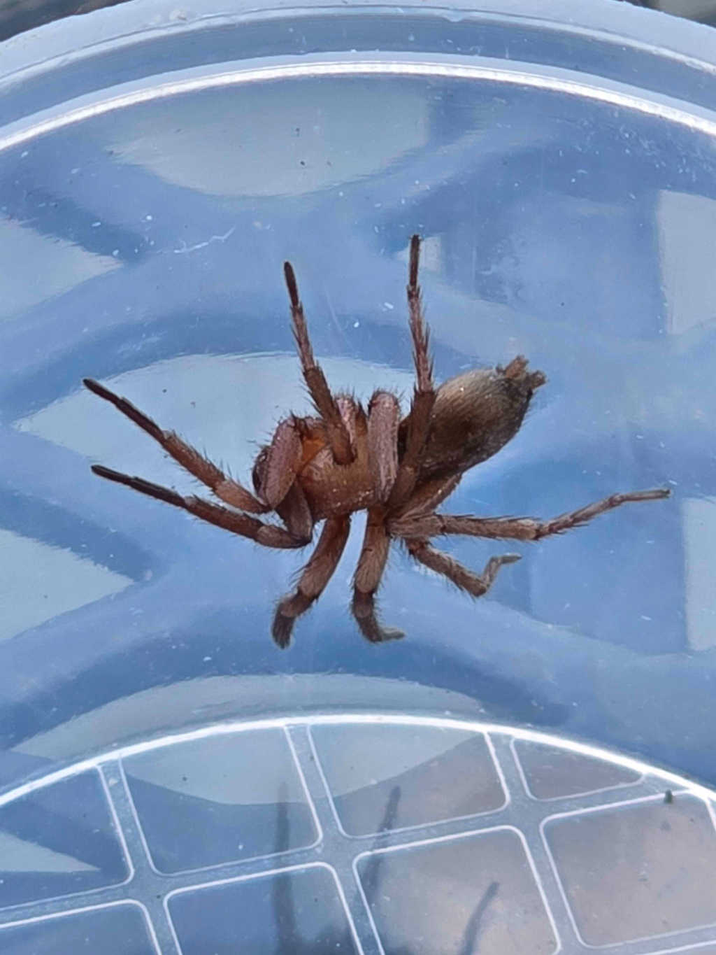
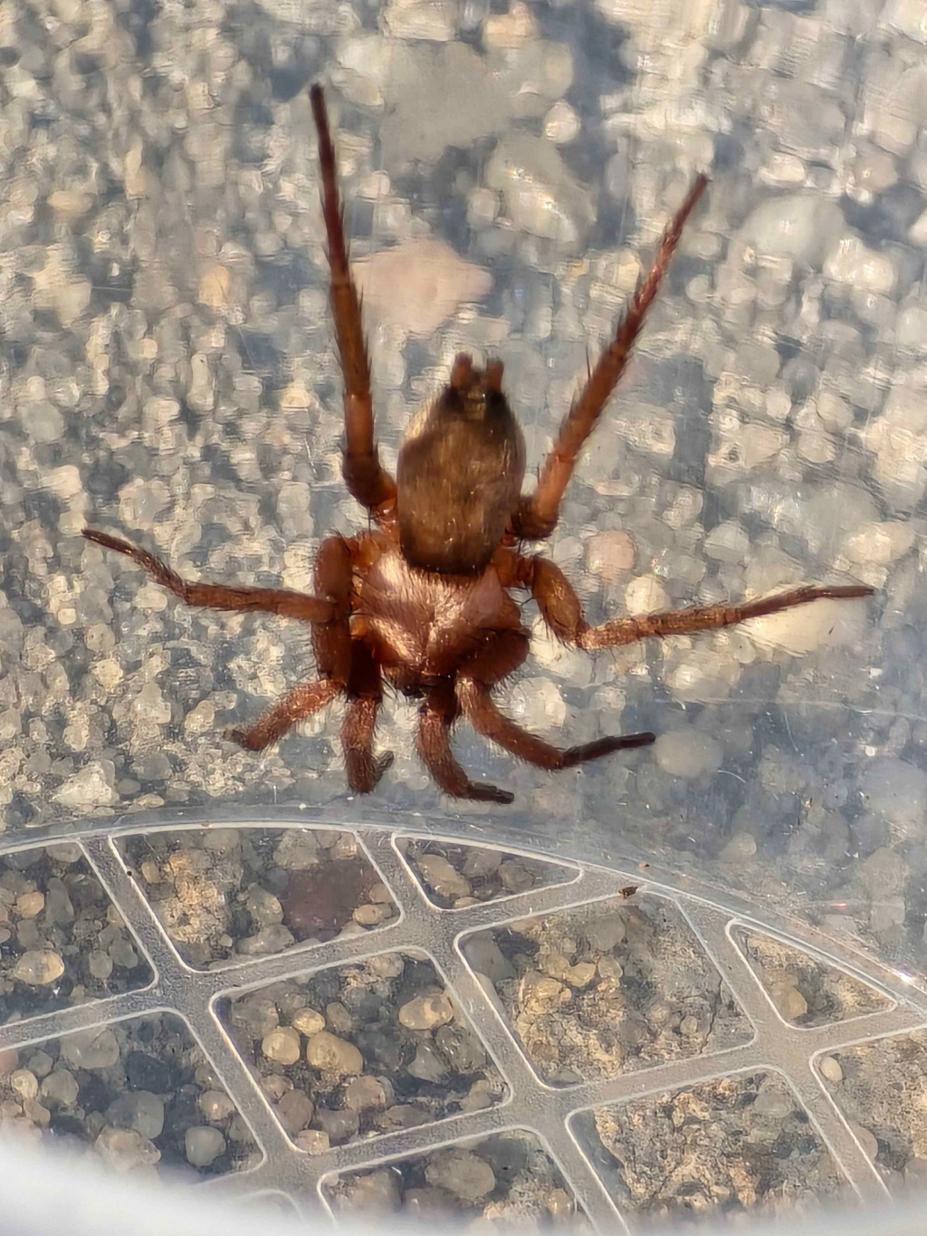
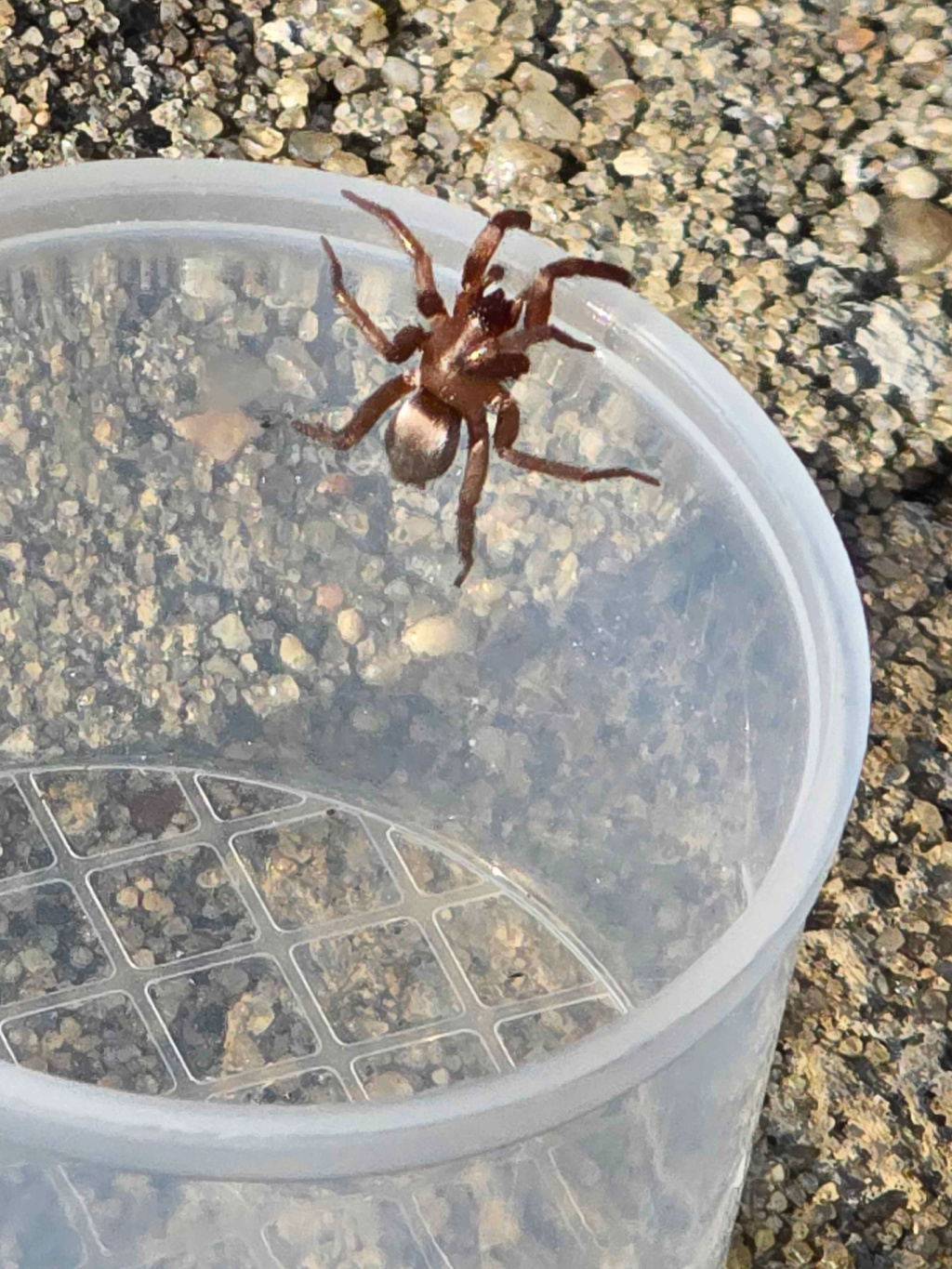
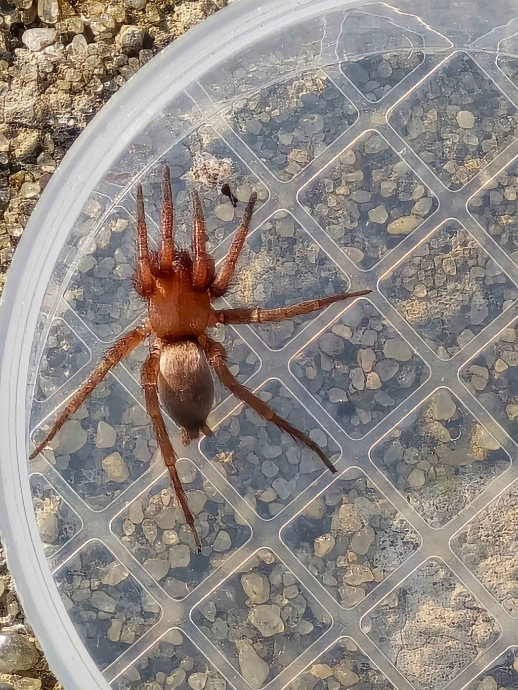
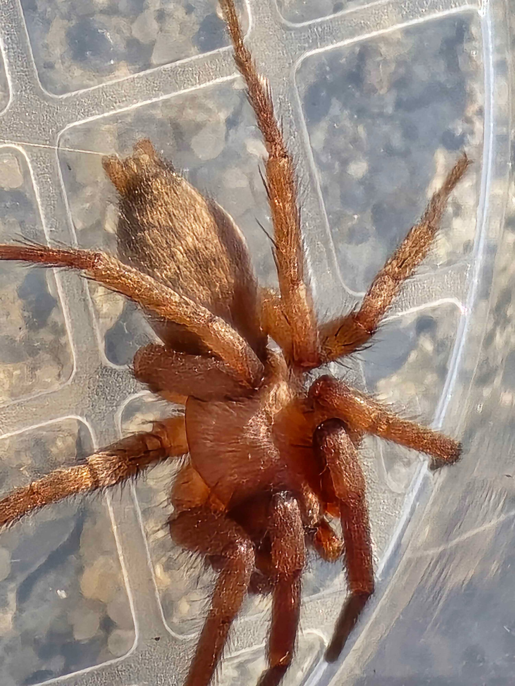
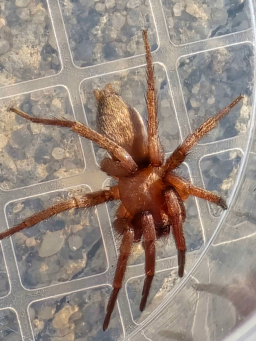
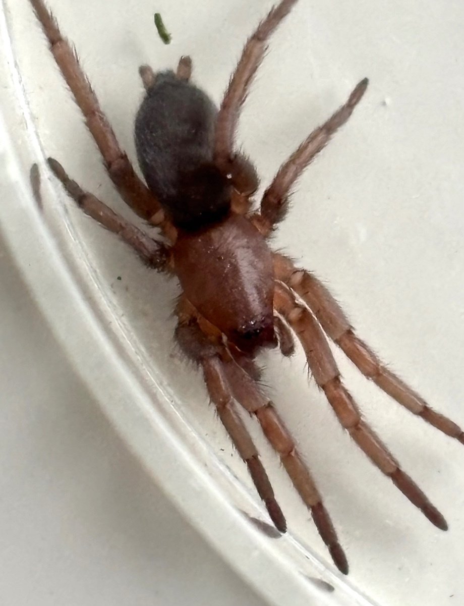
Species Details
- Species name
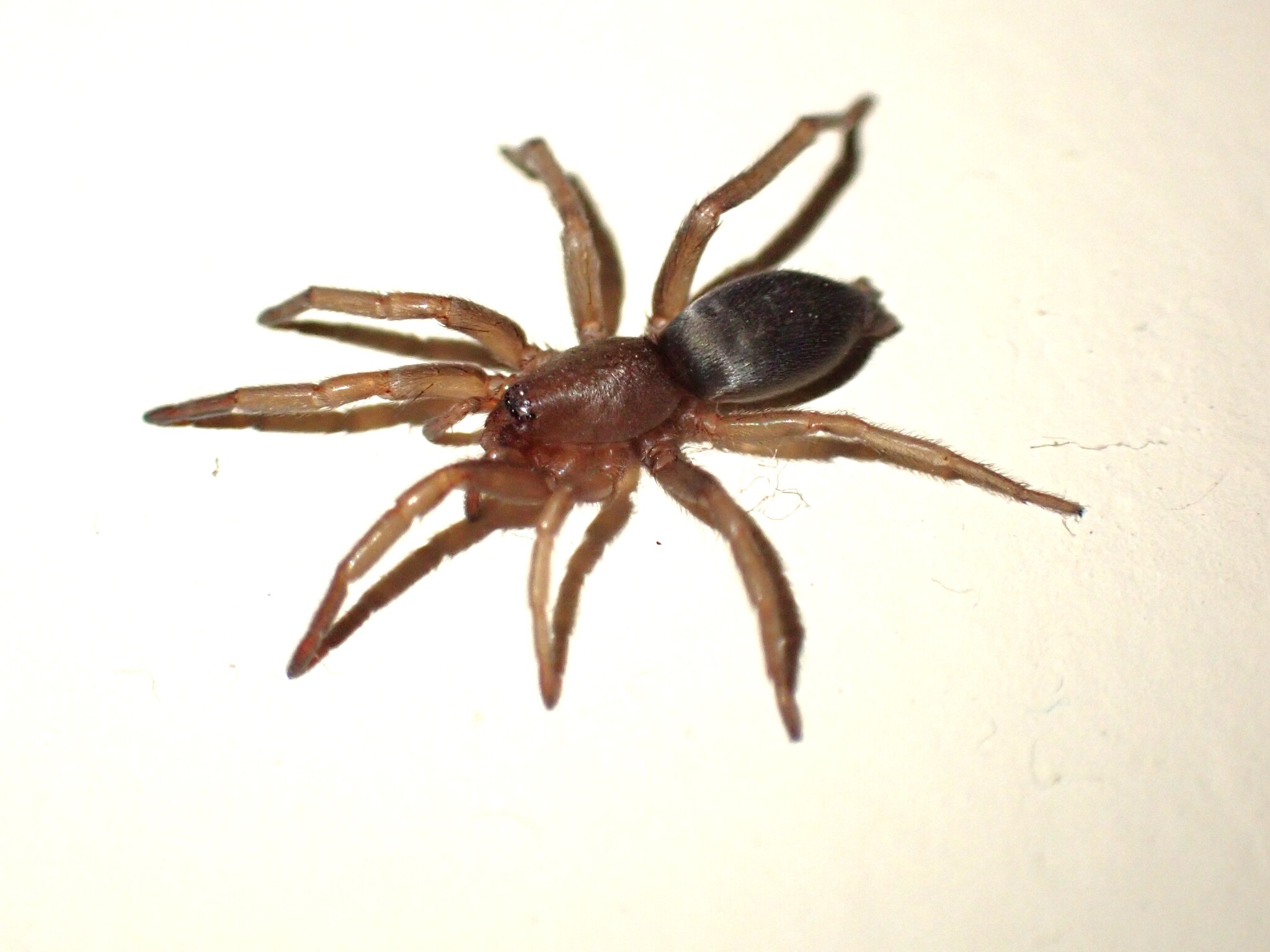
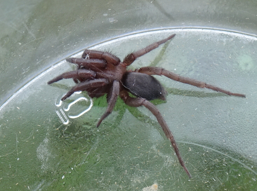
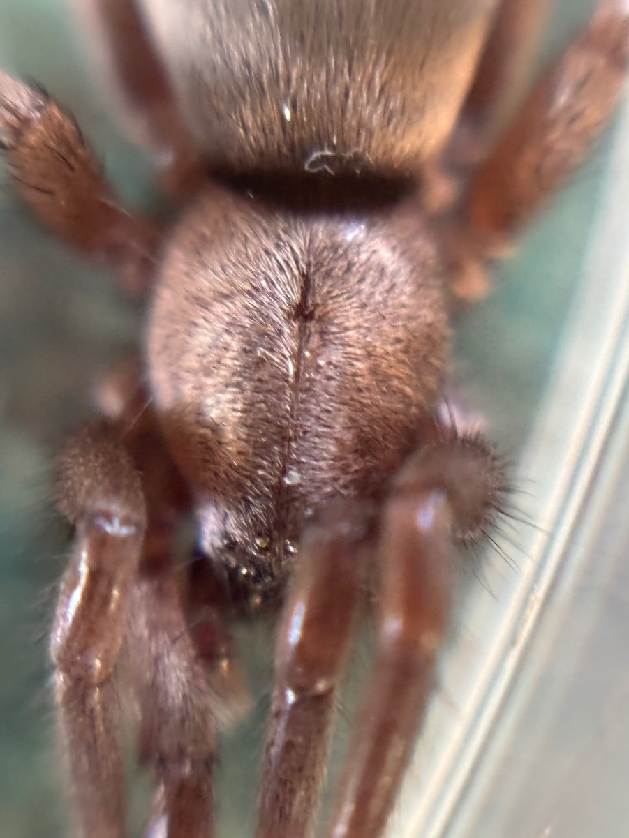
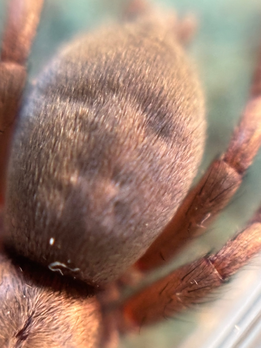
- Scotophaeus blackwalli (Thorell, 1871)
- Synonyms
- Scotophaeus sericeus, Herpyllus blackwalli (Thorell, 1871)
- Taxonomy
- Animalia :: Araneae :: Gnaphosidae
Distribution
The species is widespread in much of England with scattered records in Wales and Scotland as far north as Kincardineshire. It is widespread in north-western and central Europe and the Palaearctic in general.Habitat and ecology
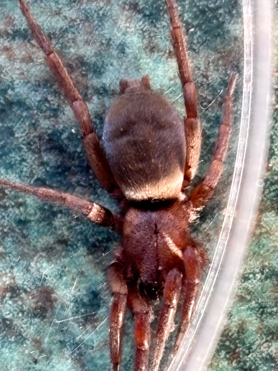
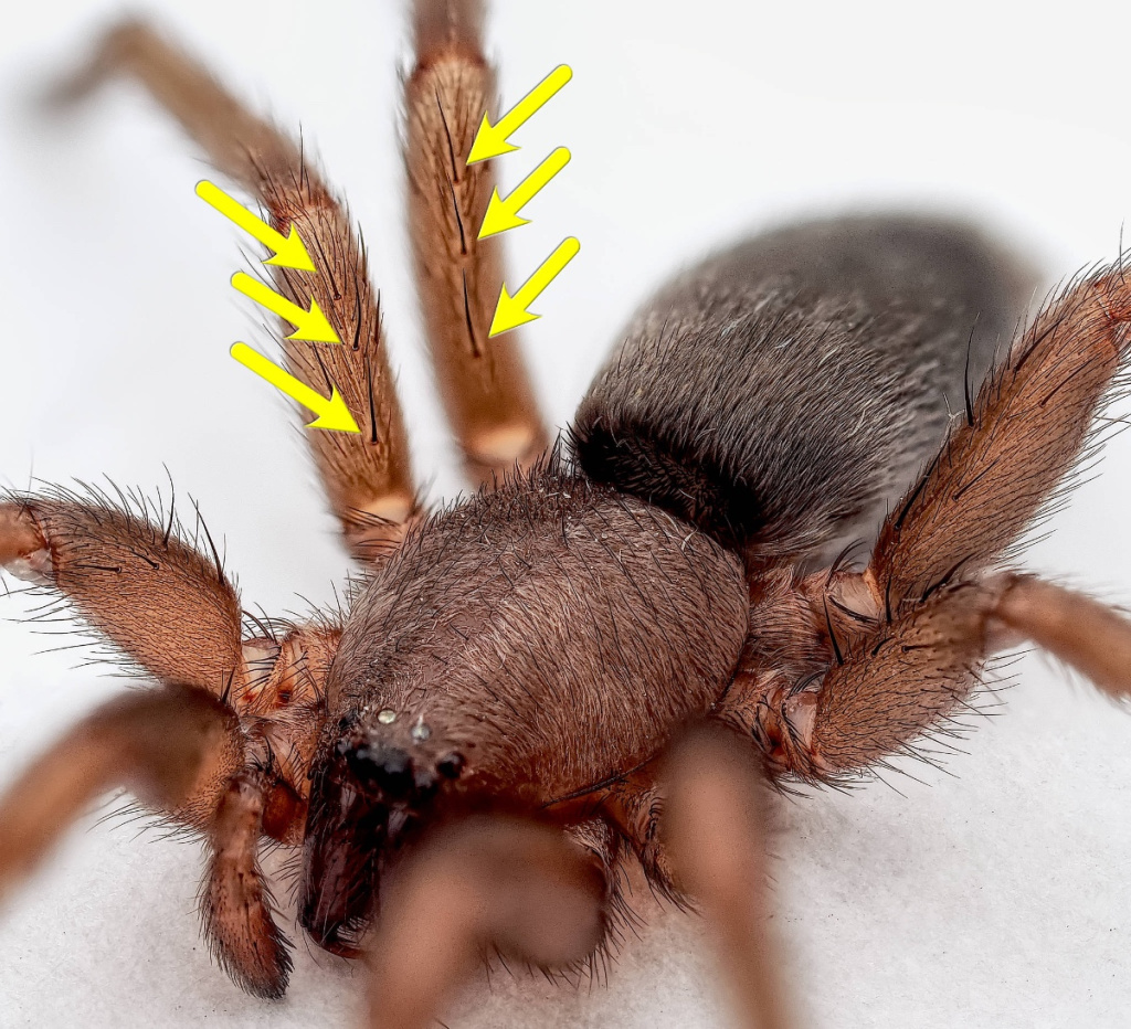
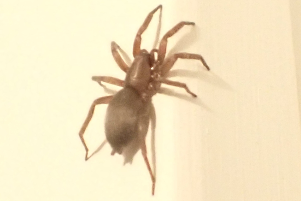
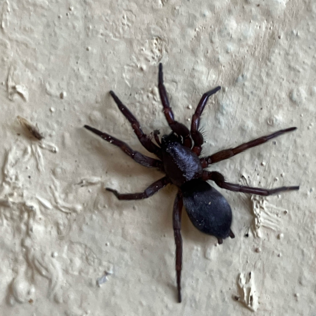
In Britain S. blackwalli typically seems to be restricted to houses, sheds, etc. which suggests that this species has migrated northwards from warmer places. It has been found in gardens on bushes and can be fairly common on wooden fences and under bark of dead trees in urban situations in Leicestershire (J. Daws, pers. comm.). These outdoor specimens have been noted as generally much larger than those from inside houses (Crocker & Daws 1996). Certainly, in the Mediterranean region, where there are more Scotophaeus species, these are often lighter coloured and are to be found under flakes of bark on trees (particularly pines) and even in the dried stalks of reeds. In Britain one often comes across S. blackwalli at night, creeping stealthily on the walls or ceilings of a house. It may be that S. blackwalli does so, unnoticed, during daylight and that it is its dark colour and sinister movement that catches the eye when the electric light is switched on. Adults have been recorded throughout the year, but mainly in summer.Status
Relatively common. Original author of profile: J.A. Murphy Text based on Harvey, P.R., Nellist, D.R. & Telfer, M.G. (eds) 2002. Provisional atlas of British spiders (Arachnida, Araneae), Volumes 1 & 2. Huntingdon: Biological Records Centre.Stats
- First recorded
- 1861
- Last recorded
- 2025
- Total records
- 1,494
- Total visits
- 1,485
Conservation status
Scotophaeus blackwalli
| Source | Reporting category | Designation | Date designated | Comments |
|---|---|---|---|---|
| A Review of the scarce and threatened spiders (Araneae) of Great Britain: Species Status No. 22 (Sep 2017) | Red listing based on 2001 IUCN guidelines | Least concern | 42979 |
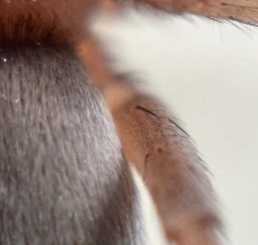
Photos and media


Spatial distribution - hectad map
Click on one of the date ranges in the key to highlight that particular range. Click anywhere else on the map to go back to all three date ranges.
Thresholds:
Move mouse cursor over dot for info
Rejected records are excluded from this map. Unverified records are included.
Temporal distribution - records by year
Records that span more than one year are not included in this chart.
Temporal distribution - records by week
__